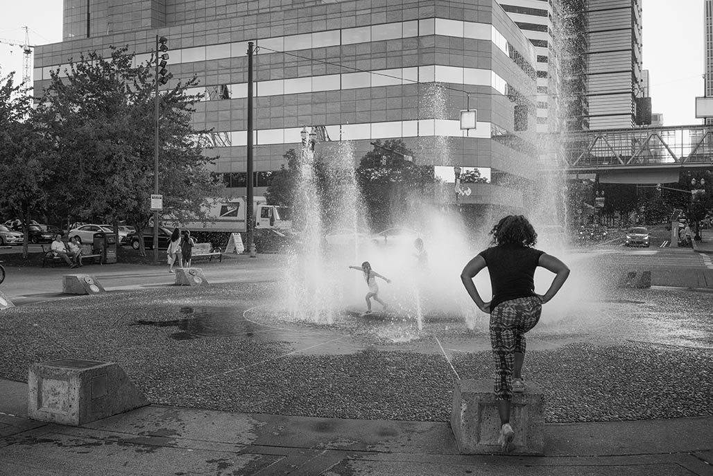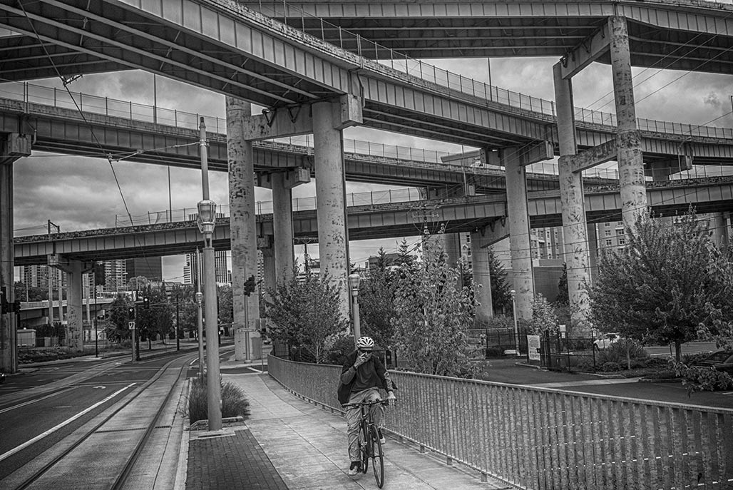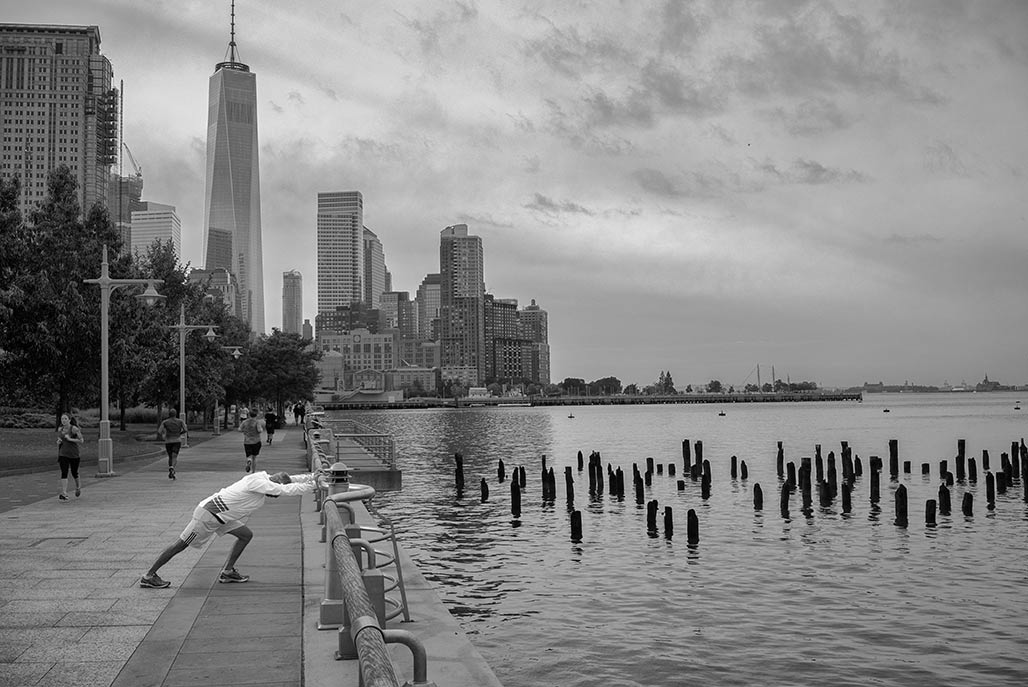
Hudson River Greenway Walked south on the Hudson River Greenway. The Charlottesville greenbelt is a very different walk. In Charlottesville the intersection of river and the land retains natural function plus native flora and fauna. There is communication going on between river and land. Loved walking the Hudson but the Rivanna has more to say.
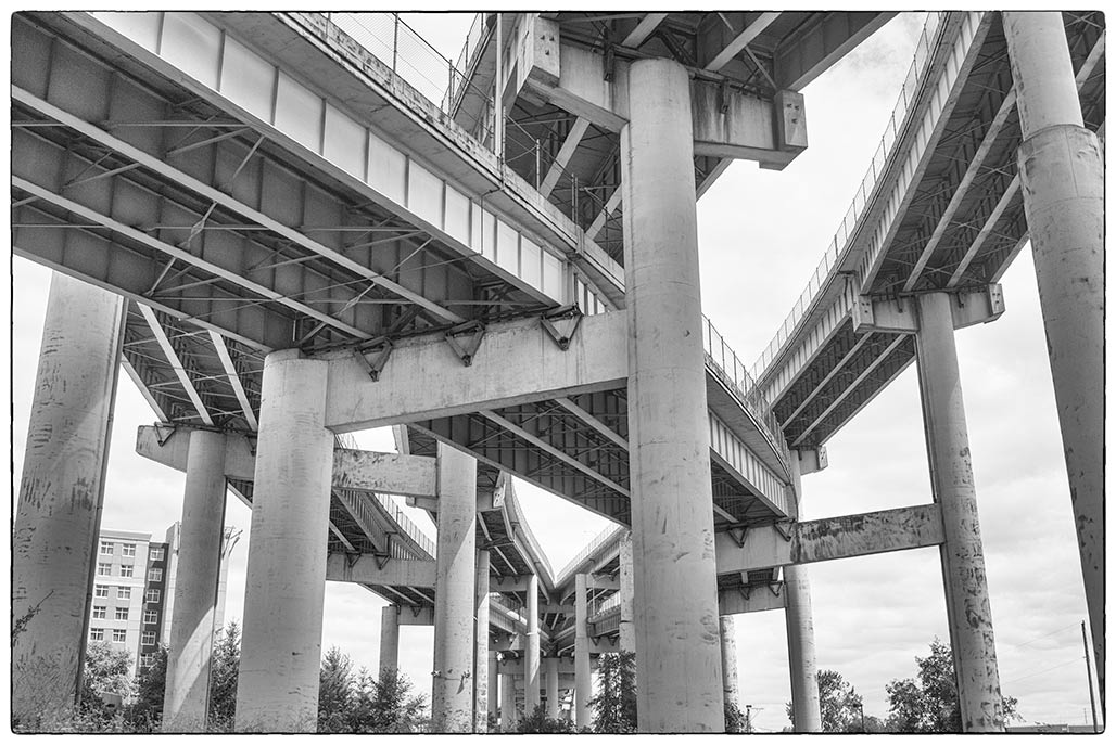
Moses, Goldschmid and Brown I had heard a shortened story of Portland’s 1970’s freeway kill-off. The beginning of Portland exceptionalism. Saying No to the FHWA. And so rarely leaving the Chesapeake Bay watershed I imagined a city comprised of narrow tree-lined streets, generous bike and pedestrian provisions, 264 foot city blocks lining the Williamette River. Yes, well not exactly. So they did say no, and they did leverage a bunch of public transit money and it is amazing. But it is not the idyll of my imagination. In 1974 Portland killed the Mount Hood Freeway, in 1979 the I-505 connector was taken off the table. But, in contrast to my imagined Portland, interstates were built.
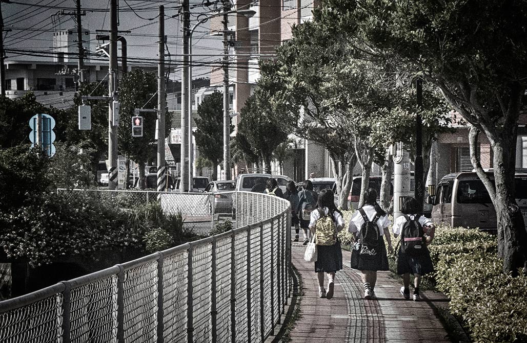
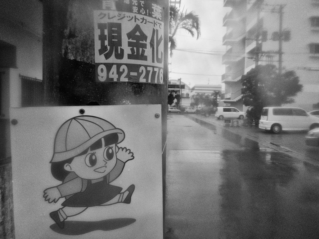
Slow way home saw a movie yesterday written by UVA professor Leonard Shoppa, In Japan, 98 percent of children walk to school every day, unaccompanied by a parent. In the United States, just 13 percent of children walk or bike to school, and most are driven to school by a parent. The Slow Way Home explores this divergence, examining how American families have largely given up on keeping our streets and public spaces safe enough for children, while Japanese communities have mobilized to keep their streets safe and walkable, not only for children but for everyone in society.
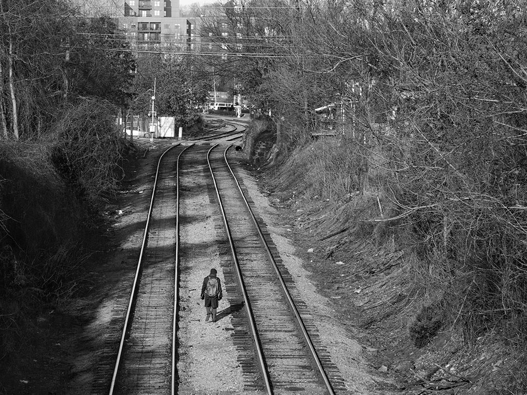
railroad Railroads run through our town. They define, divide and interrupt. This railroad got its land back in the 1800’s. In two centuries, names have changed, neighborhoods have grown, rail traffic has dropped. The real estate surrounding the rails is a no man’s land. Railroad property. Trash all over? Not your concern. Do they pay taxes? Do they say goodmorning? Are they a good neighbor? Not your concern.
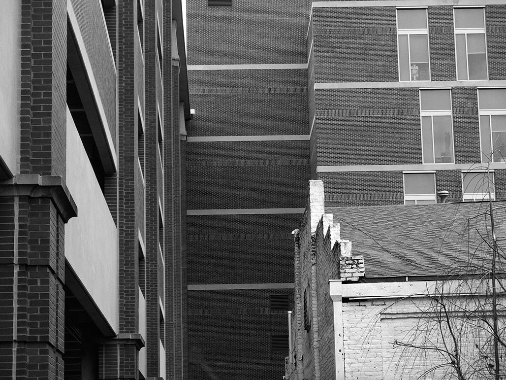
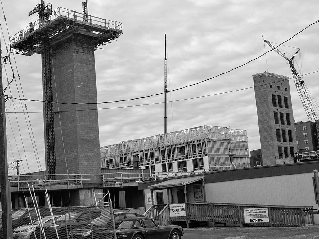
build out The desirability of a 3D tool so non-architects can understand the implications of plans, orthographic drawings, has long been discussed in local planning circles. The tools exist. SketchUp is such a tool. The building could be built with digits. Visualized in a way the layman can understand. Lets see what proposed development looks like in context before the bricks get mortared one on top the other. How will a neighborhood with a 35′ vertical envelope fare when more massive buildings come on the scene? Lets see it before we build it. Lets try visually informed planning.
West Main public hearing KING HENRY V:Once more unto the breach, dear friends, once more;Or close the wall up with our English dead.In peace there’s nothing so becomes a manAs modest stillness and humility:
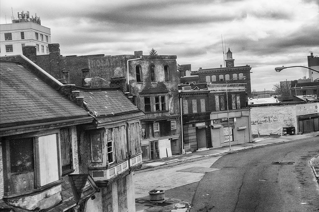
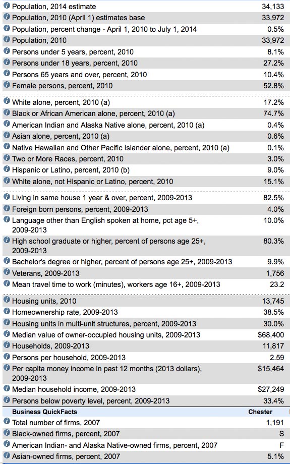
Chester PA When William Penn visited in 1682 he named this city Chester census.gov, a portion of the Chester page
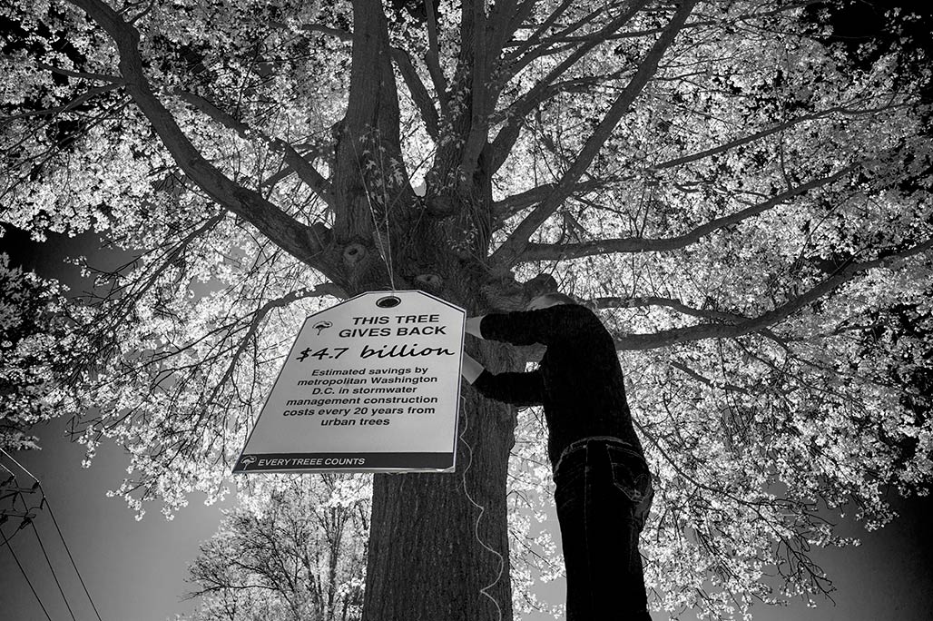
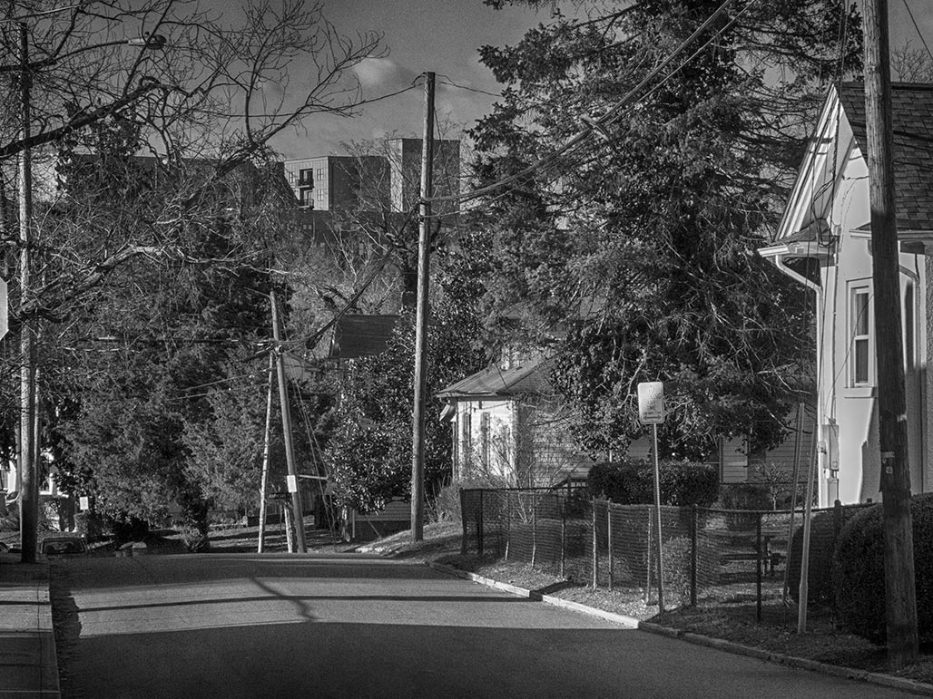
street trees What do we want?Street trees.How do we get there?We plant street trees.Are we there yet?We inventory the street trees, reassess and plant as needed.