Henry Avenue
photography from the Chesapeake Bay watershed by Bill Emory
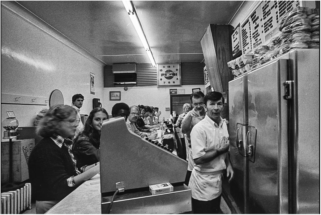
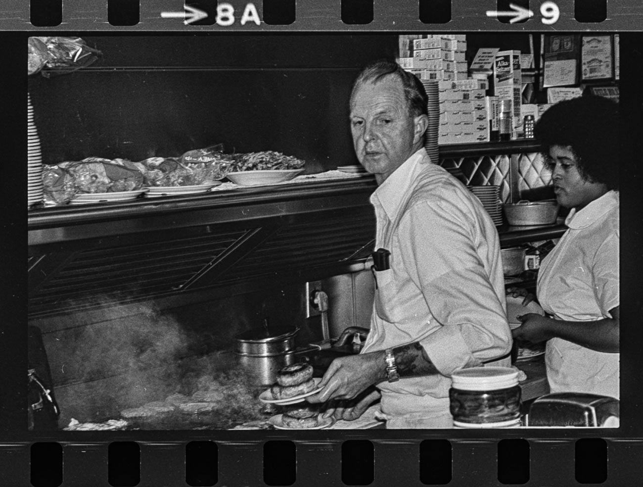
Read all about it, “Griddle Me This” UVA Magazine

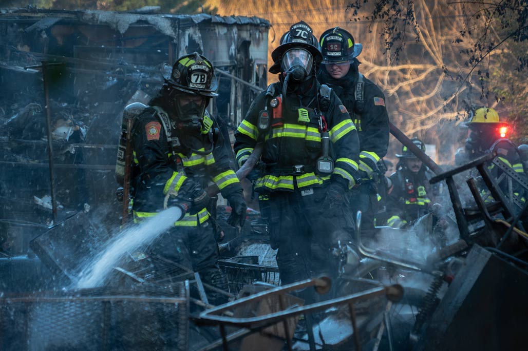
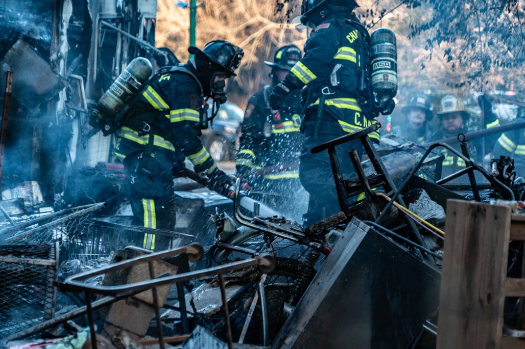
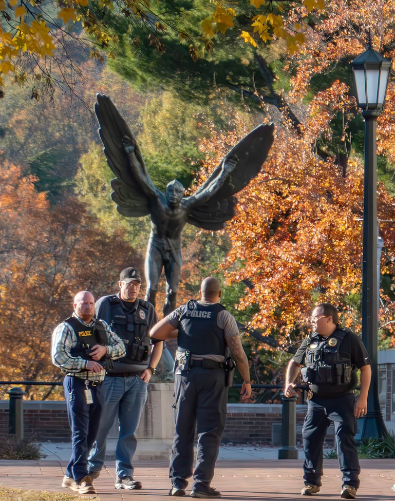
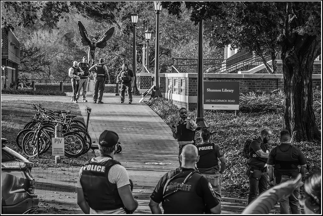
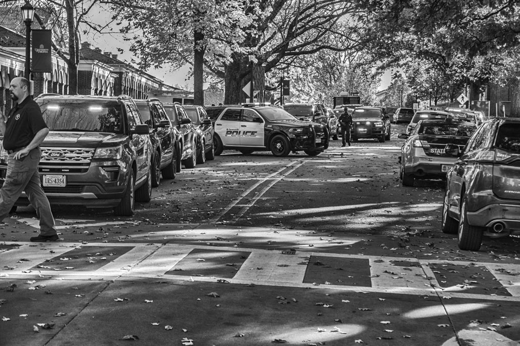
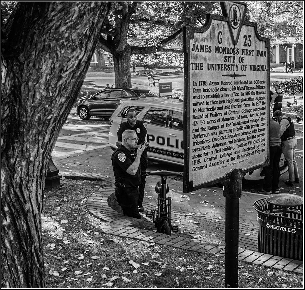
False report of active shooter placed U.Va. on lockdown Monday
Editor’s Note: This article was continually updated over the course of the afternoon of Monday, Nov. 3 to reflect the most recent information.
The University Police Department said there was no evidence of an active shooter on Grounds at 4:43 p.m. Monday after the University previously shared a “RUN, HIDE, FIGHT” alert with community members at 3:05 p.m. The alert had stated that there was an active attacker with a gun in the area of Shannon Library, but an extensive search by police later confirmed no attack had taken place.
The final alert said that the University is conducting an investigation into the false report of an active attacker. The University joins a list of over a dozen other universities which have had false reports of active shooters on campus this fall alone. Most of those false reports came during a short period in August, however.
Tim Longo, associate vice president for safety and security and chief of police, told The Cavalier Daily that police had searched the entirety of Shannon and confirmed through video and eyewitnesses that there was no evidence of an attacker before issuing the all clear. Moving forward, he said University Police will work with state and federal partners to determine where the false report originated.
“The objective is to find out who made the call, who was the source of information that tried to bring chaos to our university,” Longo said. “This [was] an unfounded call. There’s no basis of fact to believe we had an attacker here, or that there were shots fired.”–Cavalier Daily (read more)
