broken promise?

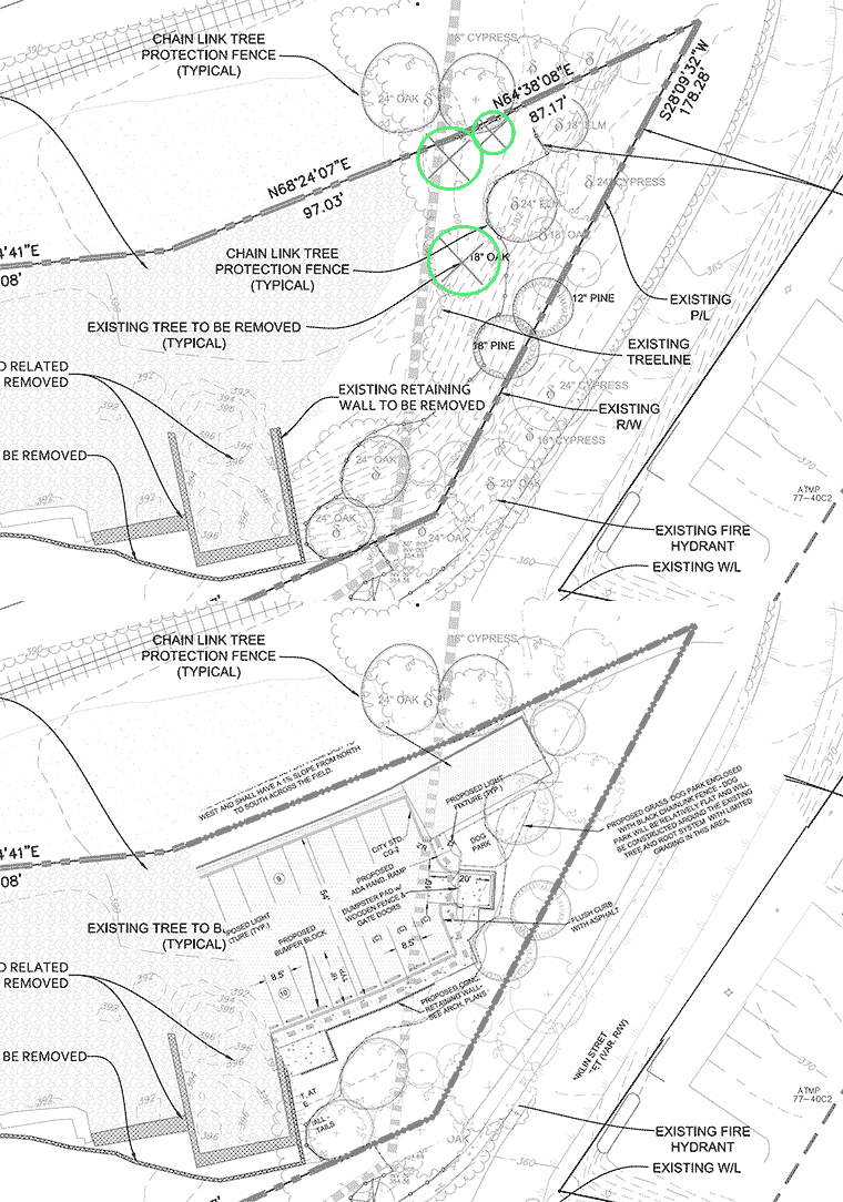
Developer of Carlton Views III is hoping that the Planning Commission will allow a departure from their proffer: Proffer 3(f) states: “The Landowners shall retain the existing tree canopy on the east side of the Subject property, adjacent to Franklin Street, within an area designated as open space for the PUD.” To date the City has shown low expectations regarding this developer’s work product. (If you’d like to know more DM me, Planning Commission will decide last thing tonight)

Franklin Hill

preserved slope

Tuesday April 9 at 6:00 PM the Albemarle Planning Commission will hear a request to remove protective zoning from a forested hillside in the east Belmont Carlton neighborhood. The request comes on behalf of Elemental Ecotech, the owner of the property, who see the island of green at the perimeter of their recently denuded site as an impediment to their development efforts.
The applicant has an approved site plan for the bare dirt area showing 3.32 acres of impervious surface (12 buildings + sidewalks, roads and parking). The trees at the perimeter of the lot have survived because they are on hillsides protected by the Albemarle County’s preserved slopes overlay (Albemarle County Code 30.7)
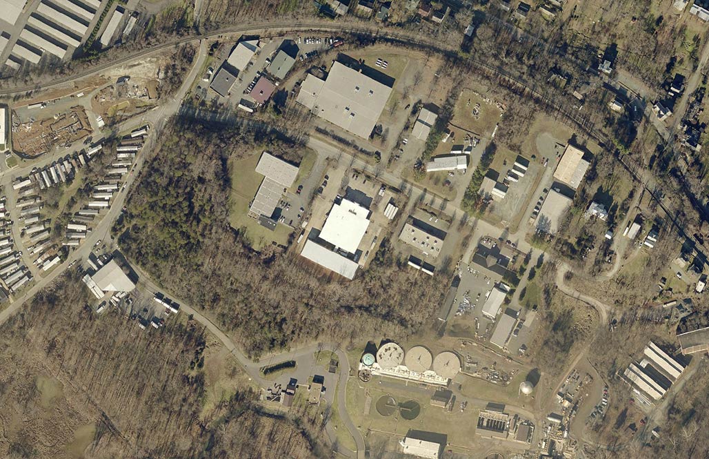
2016 aerial, before site grading began

County staff have previously determined that the property can be developed with the protective zoning overlay in place, but staff is now recommending the approval of the zoning change.
Why do we care?
Development will occur on this site, but it must be done as thoughtfully as possible.
Ask Albemarle to be sensitive to global warming, stormwater runoff, natural habitat and native flora and fauna.
Ask Albemarle to preserve our cultural and natural assets, those things we love about our home, Piedmont Virginia.
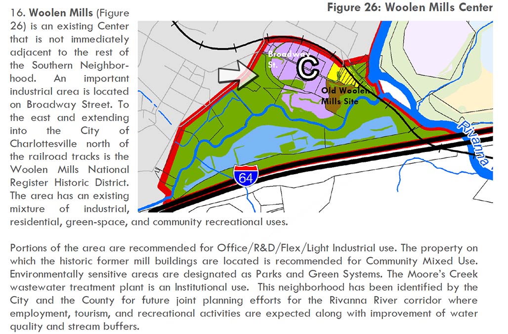
parks and greenways
Southern and Western Urban Neighborhoods Master Plan. The arrow points towards a crescent shape, next to the purple, which contains the preserved steep slope.

This part of Central Virginia is magical. The forested hillside in question is less than a mile from Monticello, less than a mile from the point where the Rivanna River flows through the Southwest Mountains.
There is much to be gained by smart, thoughtful considerate guidance provided to future development by Albemarle County officials. Careful planning here represents a further step toward regional cooperation, everybody wins. (Franklin Street is the boundary between City and County).
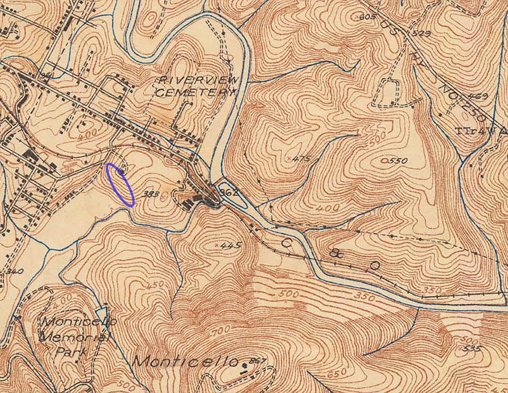
the hill has existed for millenia

Please!
Consider writing the Albemarle County Planning Commission and Board of Supervisors:
PlanningCommission@albemarle.org
bos@albemarle.org
Ask them:

  • to leave the hillside and trees alone.
  • to be careful when developing next to the flood plain, next to an impaired stream
  • to be respectful of the quality of life for neighbors
  • don’t want this

    Consider attending and speaking at the public hearing, County Office Building, 401 McIntire Rd, Charlottesville, VA 22902. 6:00PM April 9.
    p.s. This is the 2nd time there has been a request to remove slopes on this parcel.
    The first time was in 2015. http://woolenmillsneighborhood.org/blog/wmna-board-franklin-hill-letter/

    Corridor Plan

    Last Friday the Rivanna River Basin Commission held a conference for Community leaders, local government officials, developers, builders, financial investors, conservation and environmental organization personnel, and the public-at-large.
    The idea is to educate and encourage the leadership and the electorate so we pursue
    “Develop(ing) a Corridor Plan to guide decision making related to preservation and use of the Rivanna River.”

    From the county side:
    Three of the Supervisors were on hand (A.Mallek, L. Palmer, N. Dill) + one planning commissioner (T. Keller)
    From the City side
    no Councilors or Planning Commissioners.
    Disappointing!

    Second phase of drafting Rivanna River Corridor Plan begins–Charlottesville Tomorrow–Emily Hays
    Chris

    This photo from a class the police provide to allow citizens to better understand what they do, how they operate. The fellow pictured at the center, has since been hired by the City. Chris has made a huge contribution to local quality of life by knitting together and adding to a city-wide trails system.

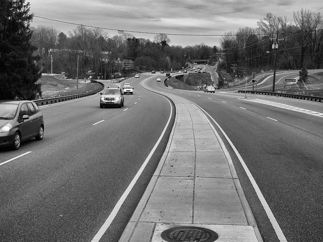
    West to east walk along Route 250

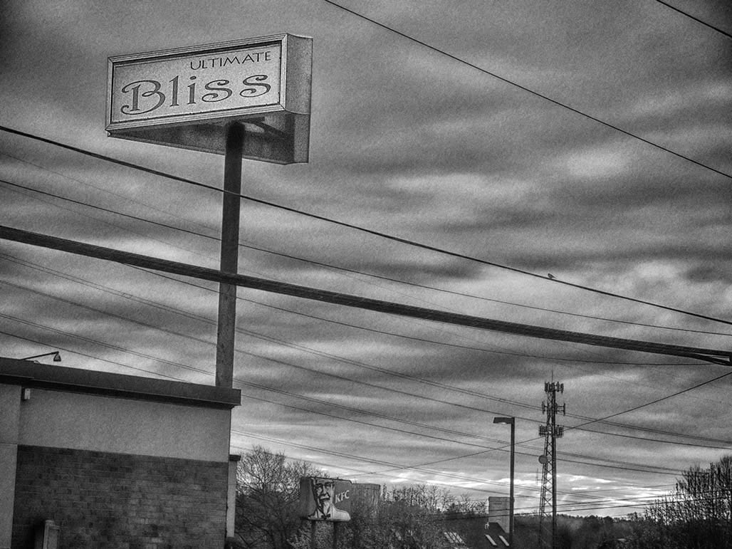
    ultimate bliss
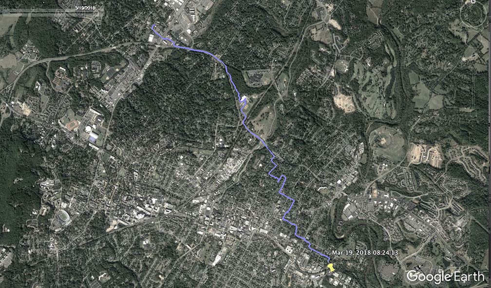
    Car broken, walking home. Started in the Meadows Neighborhood, Angus Road.

    Crossed 9 lanes of Route 29 in 14 seconds, the allowed time. (GPS track from the Meadows to the Woolen Mills, 4.37 miles)

    The area around the intersection of Hydraulic and Route 29 is the focus of ongoing Council and Planning Commission discussion, a possible amendment to the 2013 Comp Plan to qualify for VDOT “smart scale” funds… Close your eyes and ears. Ugly.

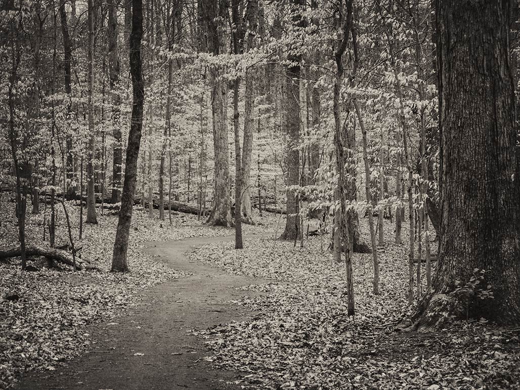
    Beech forest.
    East of the Hydraulic/Rt 250 Bypass intersection there is a pedestrian trail through west McIntire Park (thanks to Parks and Recreation and Chris Gensic).  Beautiful… The trail parallels the north edge of the 250 Bypass running through the beech forest behind the fire station.

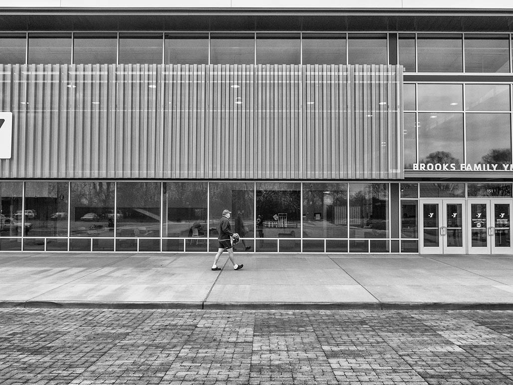
    The trail dead ends into the back of the YMCA. I walked around the front, entered the door. Tried to get a tour. No. They didn’t have anyone available who could show me around.

    East of the YMCA Parks and Recreation has begun installation of a pedestrian bridge over the railroad tracks to connect west and east McIntire Park.

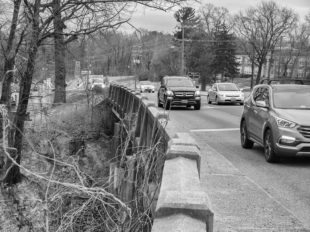
    Meanwhile, this is the 250 Bypass sidewalk crossing the railroad tracks.

    After crossing the railroad tracks, the Rt 250 north sidewalk disappears.  Made it to Park Street  via the median, then walked North Downtown, Martha Jefferson and Little High neighborhood streets and sidewalks the rest of the way home. The pedestrian connection will be better soon. It is happening.

    Boards and Commissions Comp Plan 2018

    The City’s Comprehensive Plan is the community’s vision that guides decision making processes for important matters such as: Land Use, Housing, Transportation, and much more.

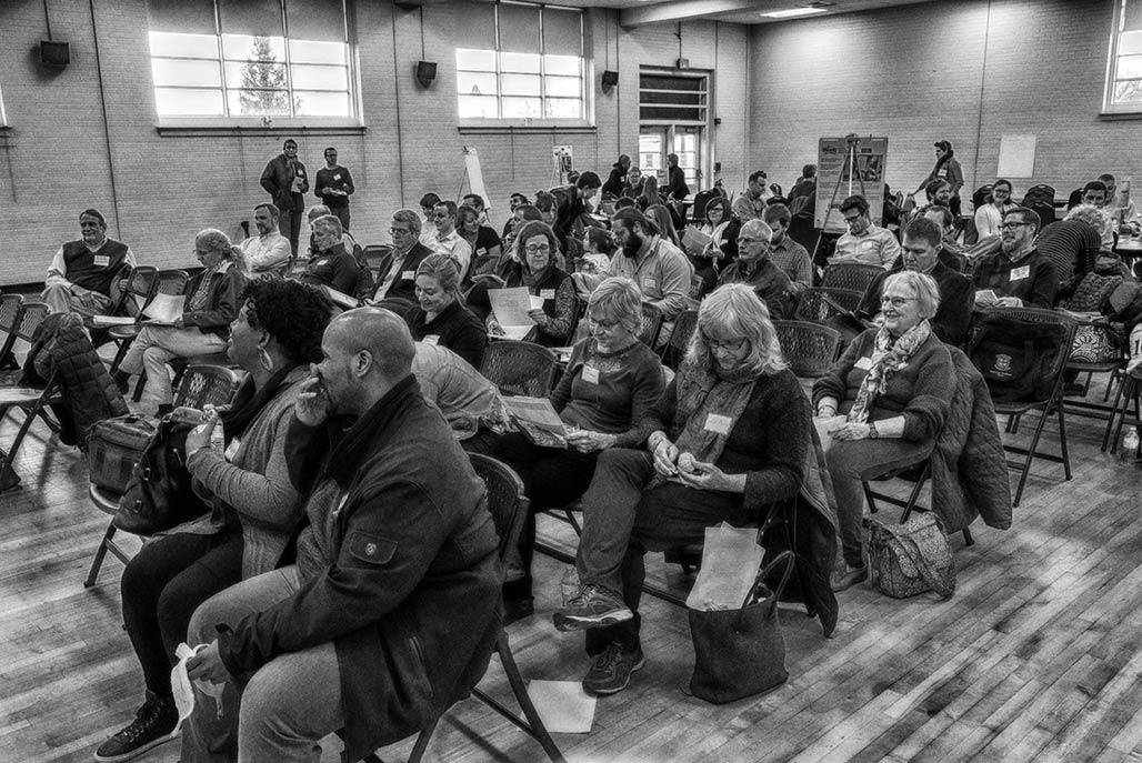
    The Charlottesville Planning Commission invited Board and Commission members to Carver Recreation to provide input on the 2018 Comprehensive Plan at their work session March 7.

    Detail from the word cloud. Somewhere in here are the words “Rivanna River”.