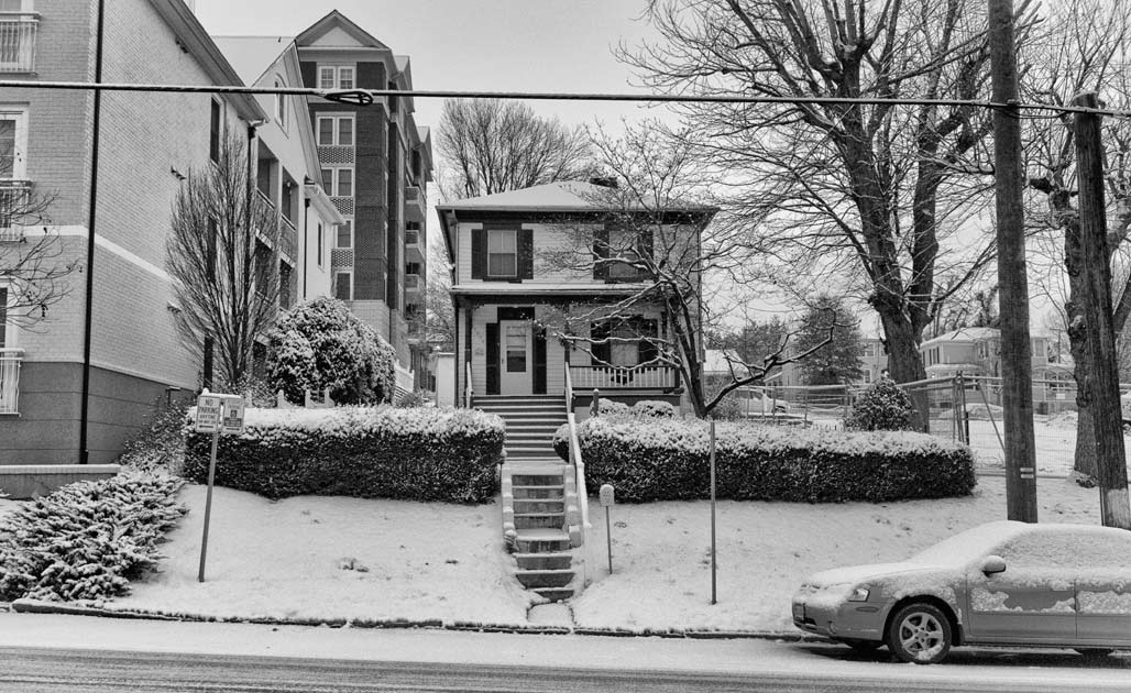
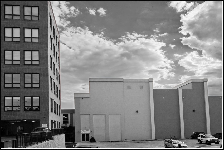
Intersection of R-2 and Downtown Extended.
adjacent — adj
1. being near or close, esp having a common boundary; adjoining; contiguous–dictionary.com
Category: Urban Planning
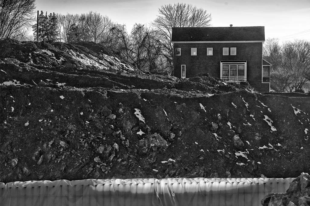
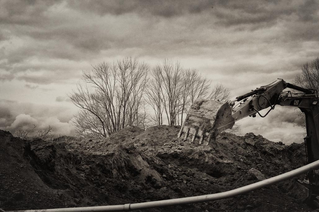
edge of town
City Walk
US Department of Housing and Urban Development City Walk Apartments Project No. 051-35616. Owner Coal Tower Associates. Architect: Davis Architects. Contractor: Summit Contracting Group, Inc.
standards and design-fire engines
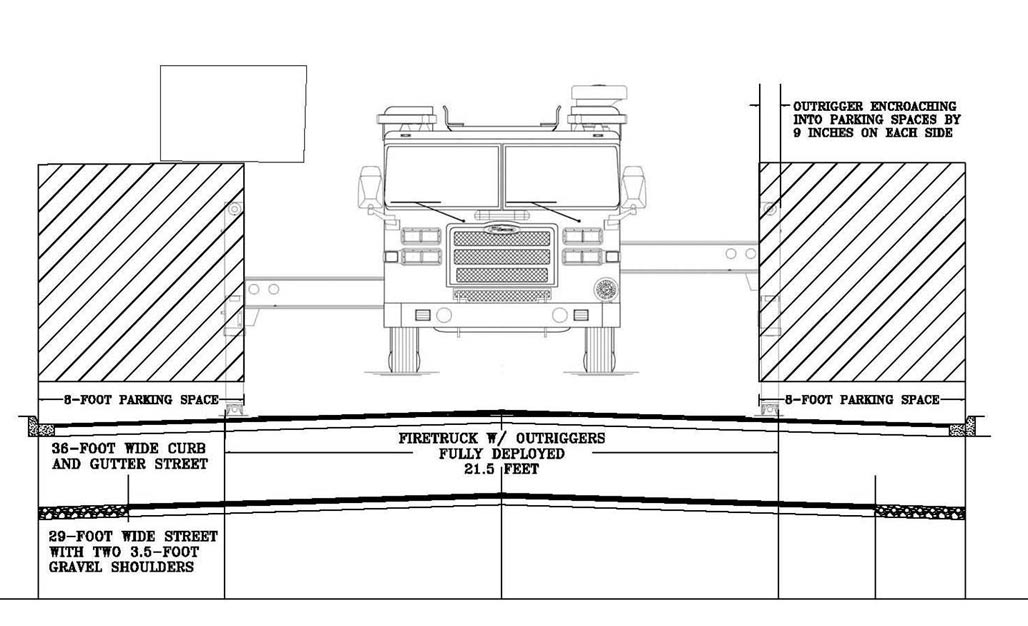
Municipalities have cook books for those interested in adding to City infrastructure. How to make a ramp, how to build a curb, how to make a fire engine cozy.
Some Cities include in the cook books specifications for green infrastructure. How to plant a tree in an urban environment and obtain its ecosystem services, how to build a road that won’t hurt the river, how to infiltrate rainwater into the ground near where it falls.
Search your City’s standards manual for the words green, narrow, sustainable, pervious, woonerf…
technicolor zoning
Theoretically, the primary purpose of zoning is to segregate uses that are thought to be incompatible. In practice, zoning is used to prevent new development from interfering with existing residents or businesses and to preserve the “character” of a community. Zoning is commonly controlled by local governments such as counties or municipalities, though the nature of the zoning regime may be determined or limited by state or national planning authorities or through enabling legislation.–Wikipedia

Mixed use districts downtown north and downtown extended, business, residential and manufacturing B1, R-1, R-2, M-I, plus several individually protected properties.
watershed
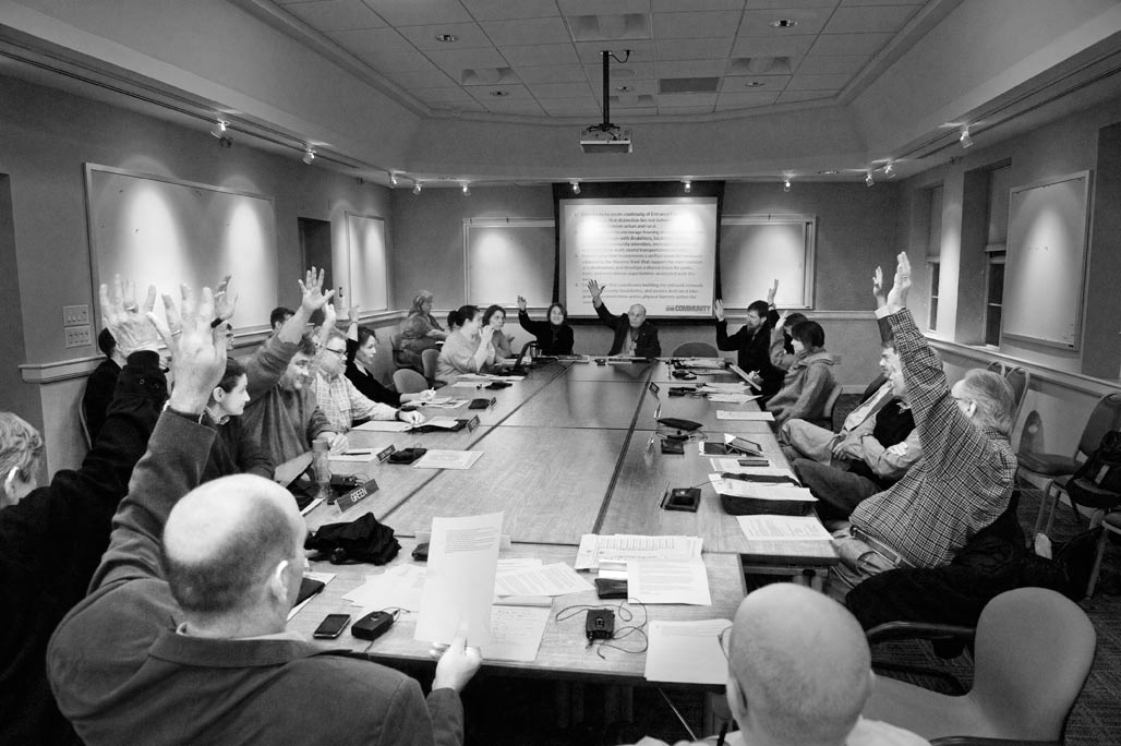
January 15, Room 241, Albemarle County Office Building. Members of the Charlottesville and the Albemarle County Planning Commissions raise their hands in near unanimous support for the joint implementation item:
“Create a plan that incorporates a unified vision for land uses adjacent to the Rivanna River that support the river corridor as a desitination; and develops a shared vision for parks, trails and recreational opportunities associated with the river.”
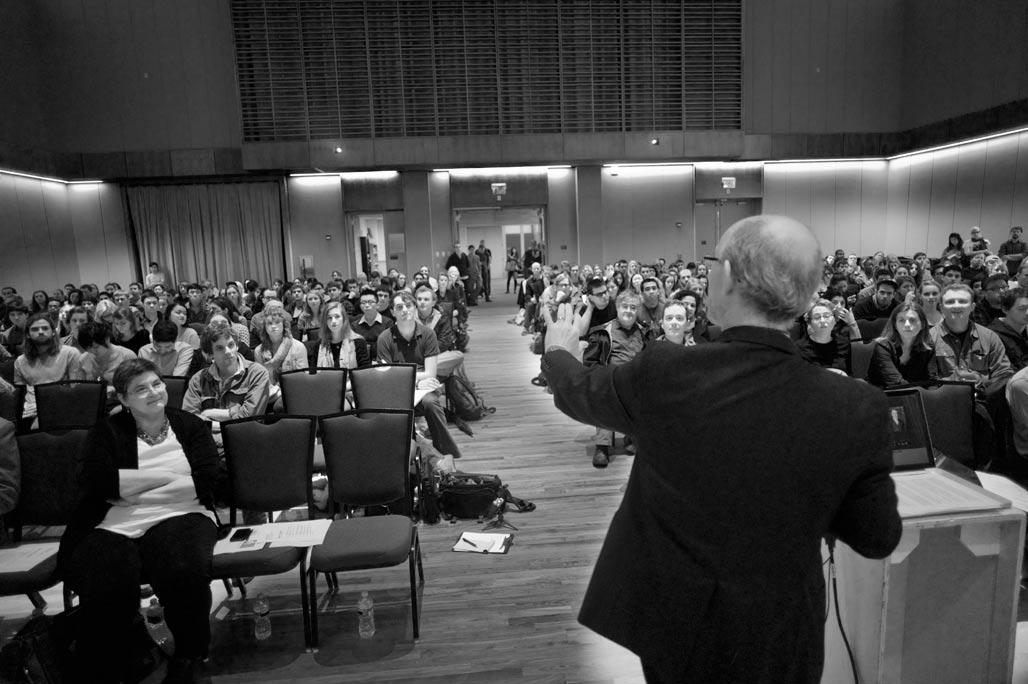
Across town, January 14, UVA Architecture kicked of its all school workshop “The Rivanna River Woolen Mills & Pantops”. Here Dan Bluestone addresses several hundred students and faculty who will be involved in the project. Charlottesville Tomorrow has the story and audio.
UVA Department of Urban and Environmental Planning/City Councilor Kathy Galvin walks and talks a group of students through the Woolen Mills during a site visit January 15.
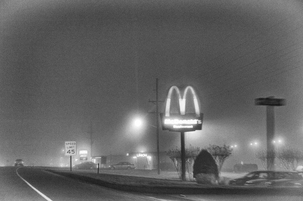
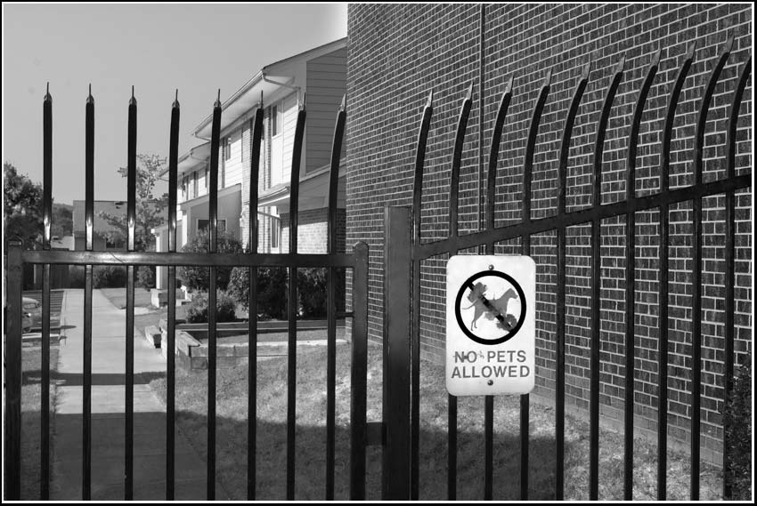
DMZ

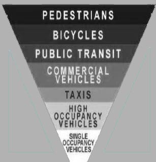
Walking in the County southeast past the shops at Stonefield. Enjoying the new sidewalk and trees. Headed home. Arriving at the “Main Street” of the County, US Route 29, the neighborhood model takes on a new light. How is the pedestrian meant to cross into Charlottesville? Carefully. Not sure exactly how many lanes there are, standing on one side they are a challenge to count. Big asphalt. Twelve lanes?

There are lots of hashmarks scattered about the intersection, providing guidance to motorists about how to negotiate the DMZ. I didn’t see a crosswalk.
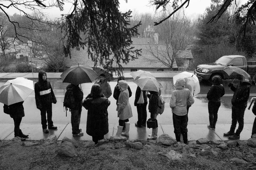
It seems that “transit” in the county means four wheels and a motor. If you have the misfortune to engage in bipedal locomotion, be fleet of foot. What momma said. Look both ways before crossing this road.
In an alternate reality.
big tent
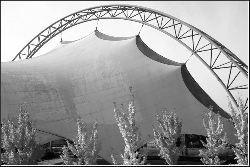
The big tent in the little downtown. The tent blocks former mountain view but provides seating for political and musical events. Was this a custom tent or an off the shelf model?
impervious
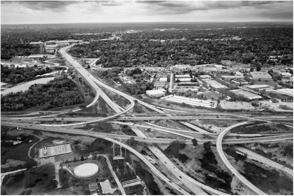
Years ago our transportation planner jokingly broached the option of building a moat around our little city.
The moat, to protect city residents from vehicles short cutting through their neighborhoods while cruising
from point A to point B in the surrounding suburbs.
Another possibility, convert the City to a gigantic high speed interchange.
Complicated Acronym
fenestration and lack thereof. Good place for a mural.
PURPOSE AND CHARGE
There is hereby created the Placemaking, Livability and Community Engagement (PLACE) Design Task Force (PDTF) to act as an advisory body to the Planning Commission and City Council charged with the following:
1. Reviewing and advising on the urban design aspects of development projects on publicly owned or financed land and developing design criteria for such projects.
2. Reviewing and advising on the design of city capital projects and changes to existing public facilities.
3. Reviewing and advising on proposals for public art.
4. Reviewing the status, adequacy and appropriateness of current landscape and streetscape standards city-wide and recommending improvements.
5. Reviewing existing urban design guidelines and their implementation and identifying and recommending new or additional city-wide best practices for urban design guidelines and their implementation as required.
6. Reviewing special projects as requested by City Council or the Planning Commission.
7. Identifying the obstacles and recommending incentives for the redevelopment of our growth corridors while still fostering good urban design and placemaking.
8. Identifying best practices in master and small area planning, public space design inclusive of street and corridor standards and their implementation and city-wide public engagement processes.– March 5, 2012 Charlottesville City Council