I wish I was going to Buffalo next week for CNU 22 , confab of new urbanists. My closest approach
was sitting in a room with Ian Lockwood this past week.
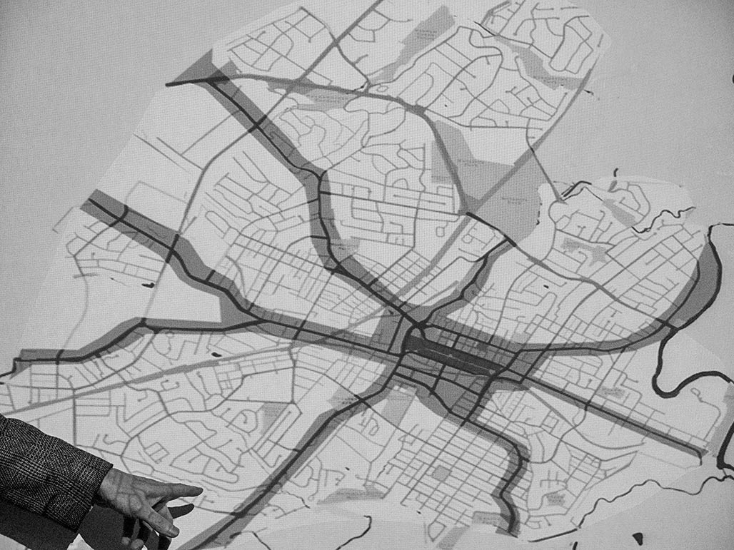
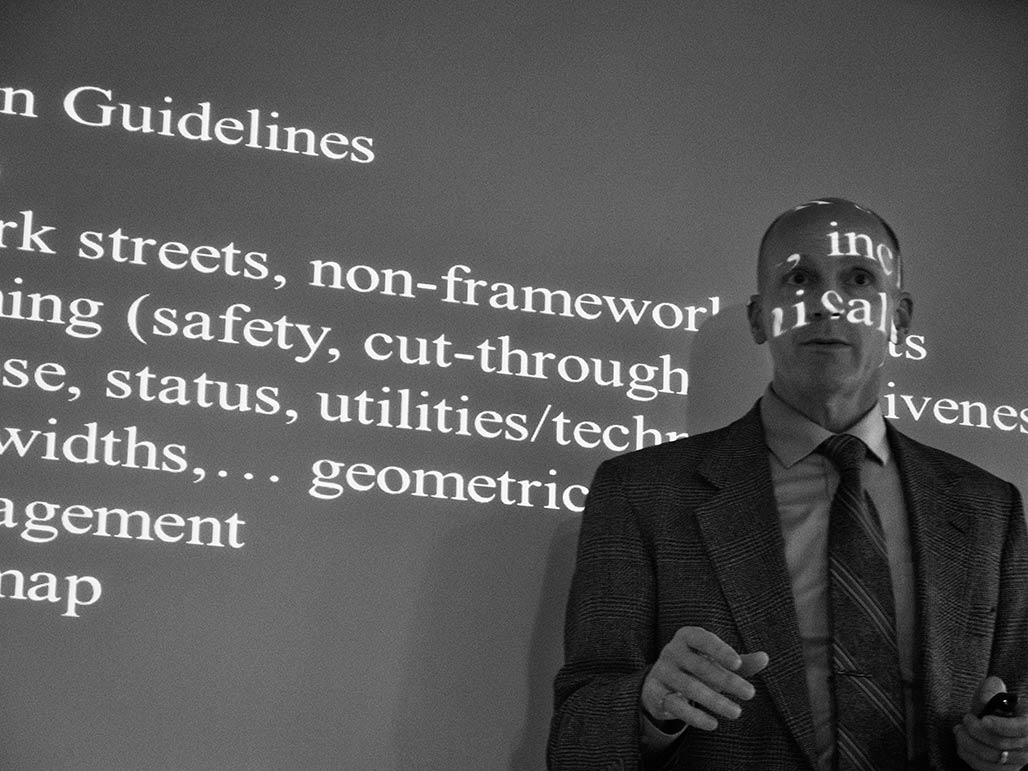
Ian shared his transportation philosophy, spoke earnestly about connectivity, and showed a map
that alternately intrigues and terrifies. What exactly is a framework street? Reserving judgement until it is
possible to learn more. Does the finish detail of the Duke of Gloucester Street qualify for a modern framework street?
Some new wine doesn’t belong in the old bottle.
Category: Urban Planning
Wertland Street
supersize
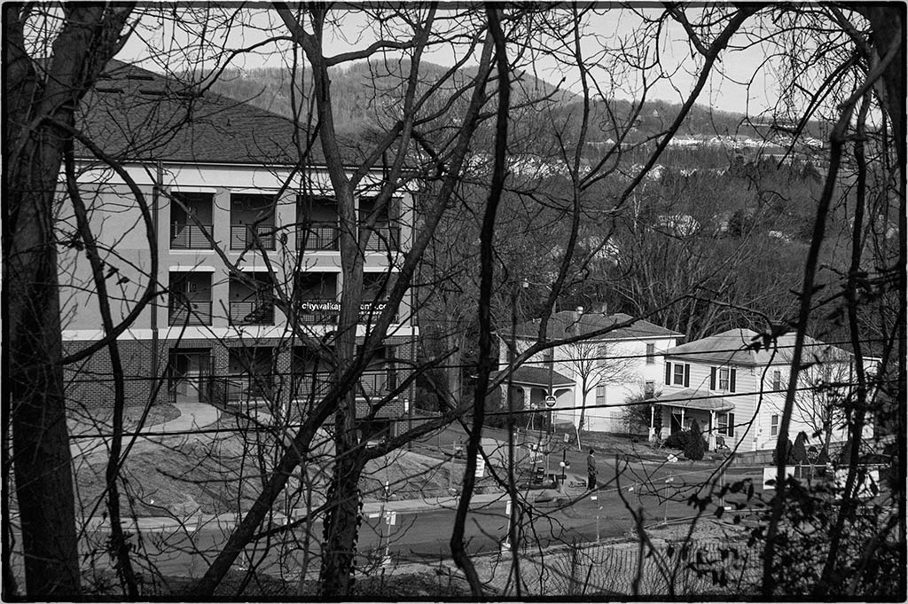
“City Walk” sprouts…
Catalpa bignonioides
Occasionally, against the odds, a street tree will grow to maturity in Charlottesville. This tree
at the corner of Nassau and Carlton, has thus far eluded the “right tree right place” police.
Shared Street
Does the City have an ordinance that requires private utilities to remove their poles from the sidewalk?
Adopted by City Council on Oct. 4, 2010
AN ORDINANCE
AMENDING AND REORDAINING SECTION 28-26 OF THE CODE OF THE CITY OF CHARLOTTESVILLE, VIRGINIA, 1990, AS AMENDED,
RELATING TO THE DEPOSIT OF ICE AND SNOW ON PUBLIC RIGHTS-OF-WAY
BE IT ORDAINED by the Council of the City of Charlottesville, Virginia, that Section
28-26 of the Charlottesville City Code, 1990, as amended, is hereby amended and reordained, as follows:
Sec. 28-25. Removal of snow, sleet and ice from sidewalks.
(a) It shall be the duty of every owner and/or occupant of every house or lot which abuts or
fronts on, or is otherwise situated on, a paved sidewalk or walkway to have all snow removed from such
sidewalk or walkway within twenty-four (24) hours after the same has ceased falling.
This requirement shall exist whether or not an unpaved strip of publicly-owned property runs
between the paved sidewalk and the private property line and the words “abuts,” “fronts on,”
“otherwise situated on,” should be interpreted in accord with such requirement. The duty of snow removal
imposed on each owner and/or occupant by this section extends only to that portion of a particular paved
sidewalk or walkway which runs in front of that particular owner’s or occupant’s private property.
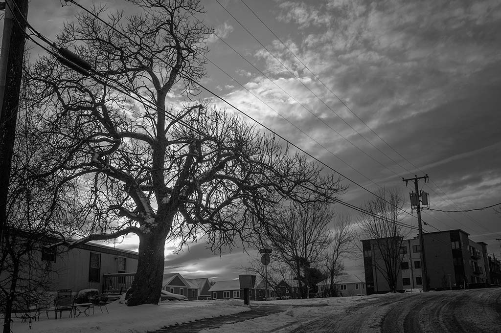
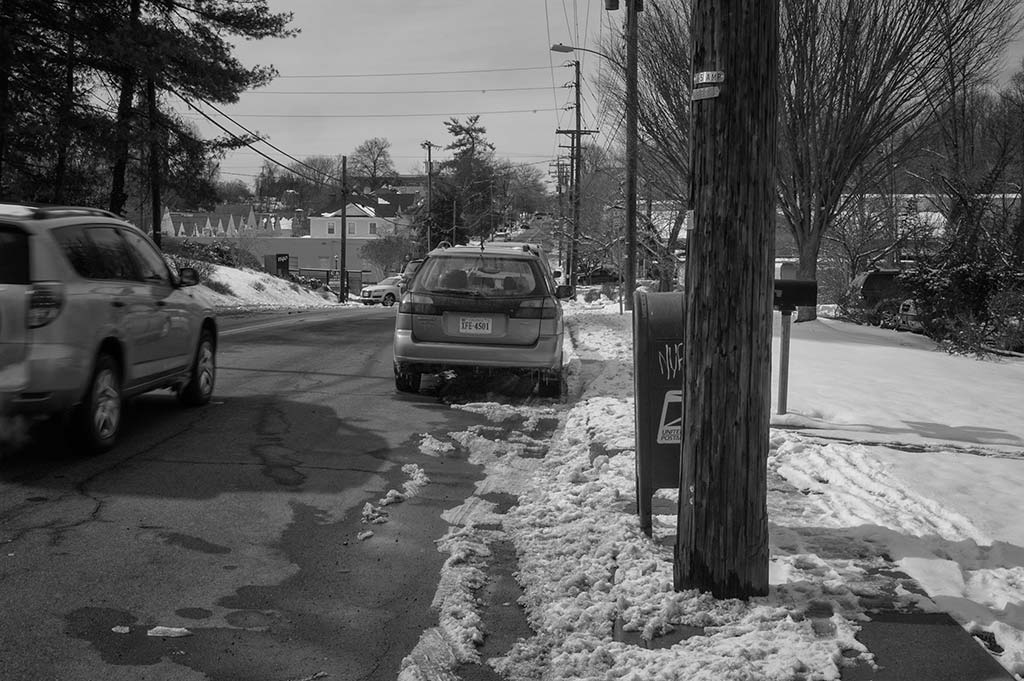
paving season
I never complain about the pavement in neighborhoods because when the membrane is allowed to deteriorate sufficiently many benefits accrue.
There is the traffic calming benefit, travel speeds are reduced, drivers moderate their speed.
This is a poor man’s pervious pavement, allowing some recharging of groundwater levels.
I wonder if there is a correlation between condition of streets and median income of the surrounding neighborhood?
Main Street Indeed
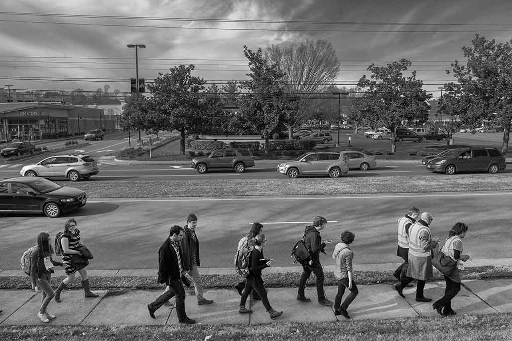
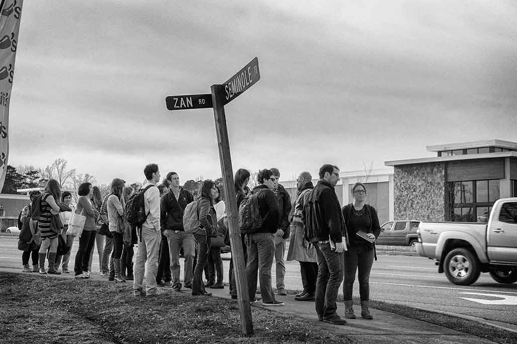
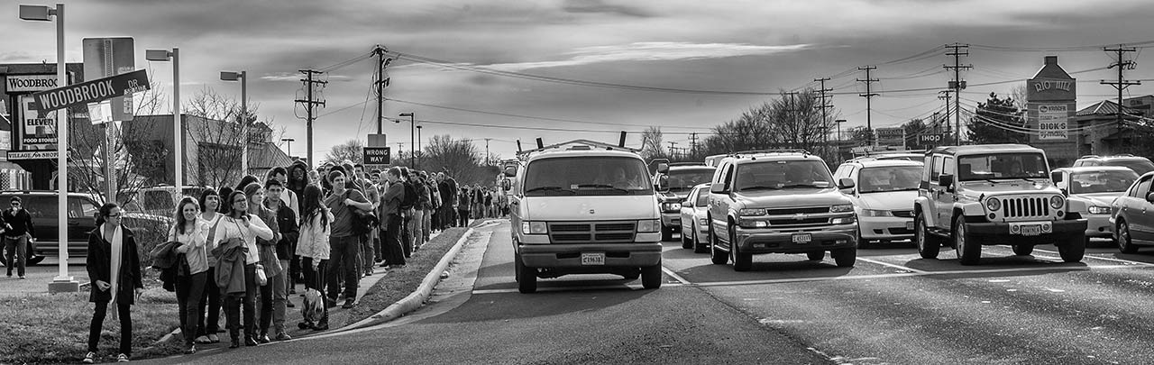
Monday January 13 UVA School of Architecture students and faculty walk where angels fear to tread,
a five mile trek north from the Ivy Road “Seminole Trail” intersection to the Rivanna River.
The pedestrian infrastructure along Route 29 is 99.9% installed.
Where then are the pedestrians?
During the two hour walk the folk from UVA encountered a handful of indigenous bipeds.
The majority were runners wrapped in spandex, plugged into hydration equipment.
Several were seated at CAT bus-stops, visual and aural hooked to cell phones and iPods.
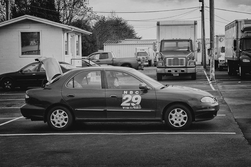
The event was covered by the Daily Progress and Channel 29, from automobiles.
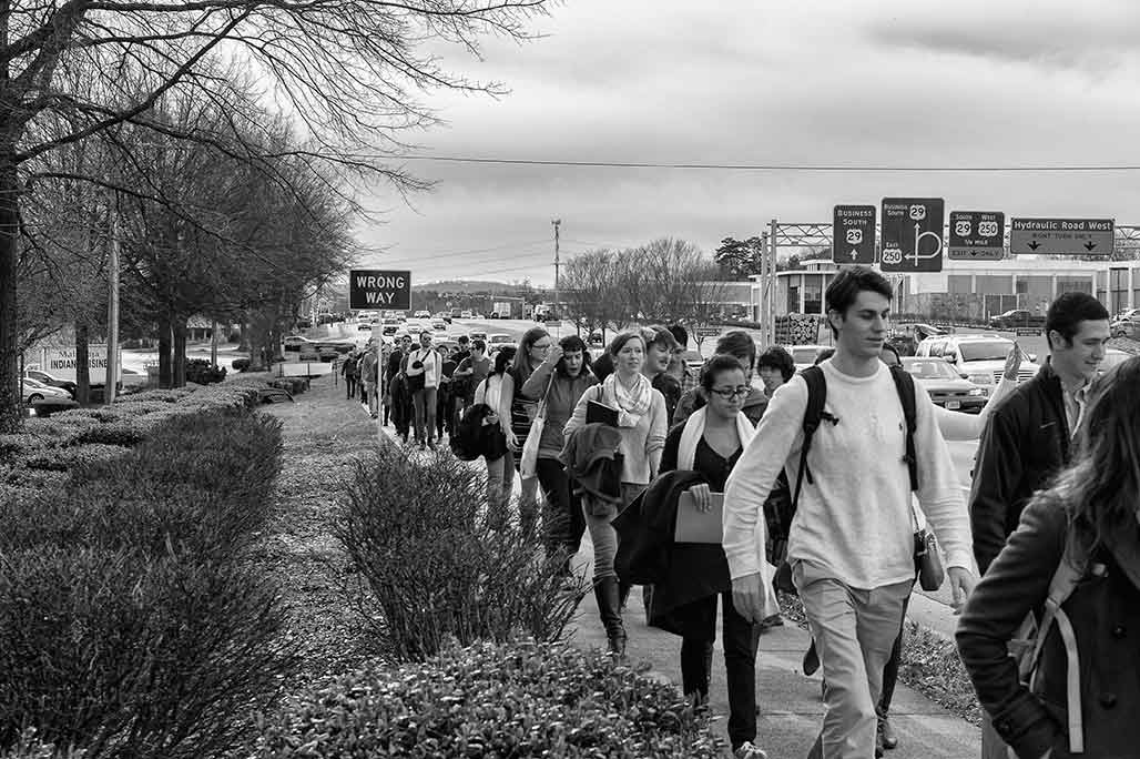
The throng makes its way north at 2.5 mph. While US 29 might appear visually interesting at 45 mph, at walking speed its lack of amenities is notable, there is nothing to see or do other than preserve one’s physical safety.
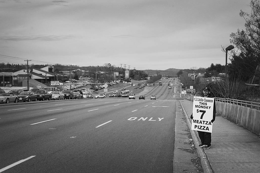
The strip is a visual wasteland.
One constant along the way were the looks of disbelief that the group of pedestrians received from the rubber tire populace.
Even the newest development along “Main Street” offers slight comfort to bipeds.
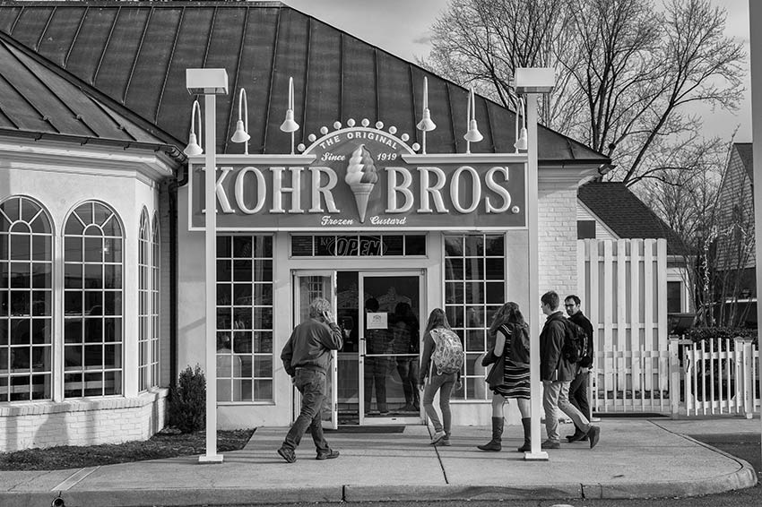
This store featured an inviting, human scale facade.
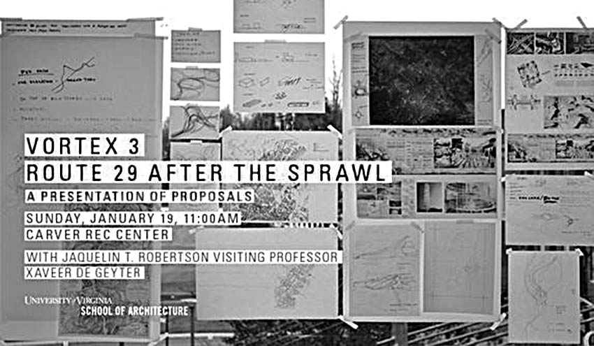
Sunday, January 19, students will present their proposals at the Carver Rec Center, 605 E. Main St., Charlottesville, VA 22902.
Charlottesville Tomorrow covers the winners
Color photos of the Route 29 trek by Sanjay Suchak
Charlottesville Tomorrow coverage
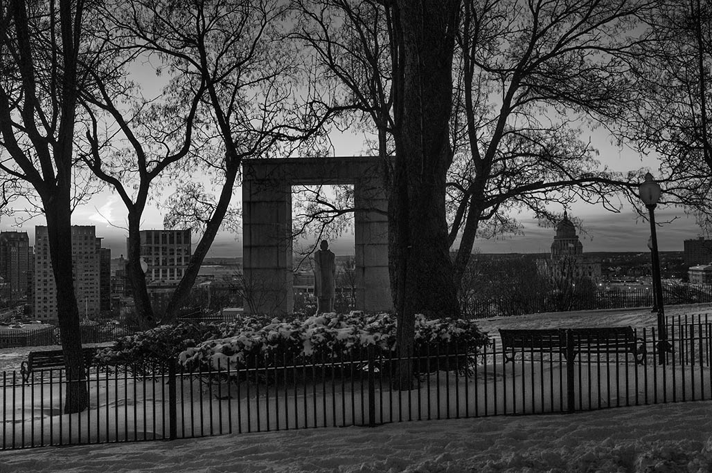
College Hill
Tree stocking, a forestry concept, provides a useful tool for evaluating the degree of success
a city has achieved in cultivating the portion of its urban forest located in the commons,
along the street edge.
The College Hill neighborhood in Providence has done a good job.
City Standards and Design
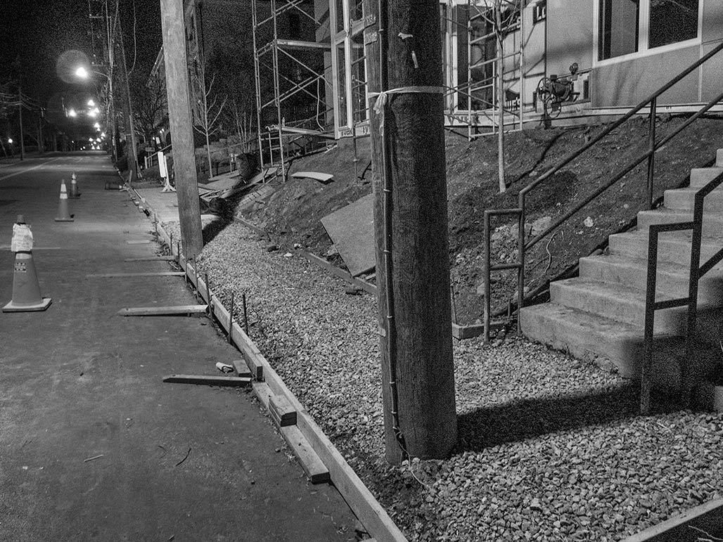
In November I heard that Dominion Power (aka Dom.Com, VEPCO, Dominion) had indicated to a Charlottesville City Councilor that utility poles located in the middle of sidewalks could be addressed. Dominion was interested in a list, an inventory of such poles.
HEY Dominion! Are these two more sidewalk poles in the making? 1000 block of East Market Street.
Decrease the width of the street to 36 feet, keep the sidewalk, move the poles?
Put the lines in an underground utility bus?
exeunt
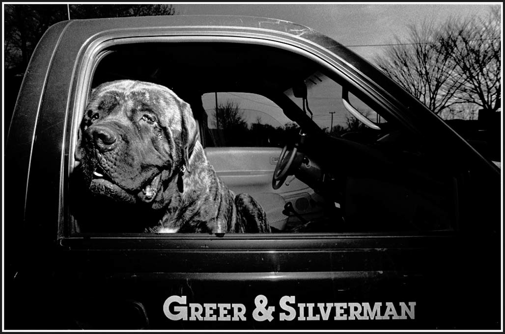
Pictured above, Gabe’s truck, parked on West Main, February, 1994. No one broke in.
A good man gone.