Monacan Bulldozer

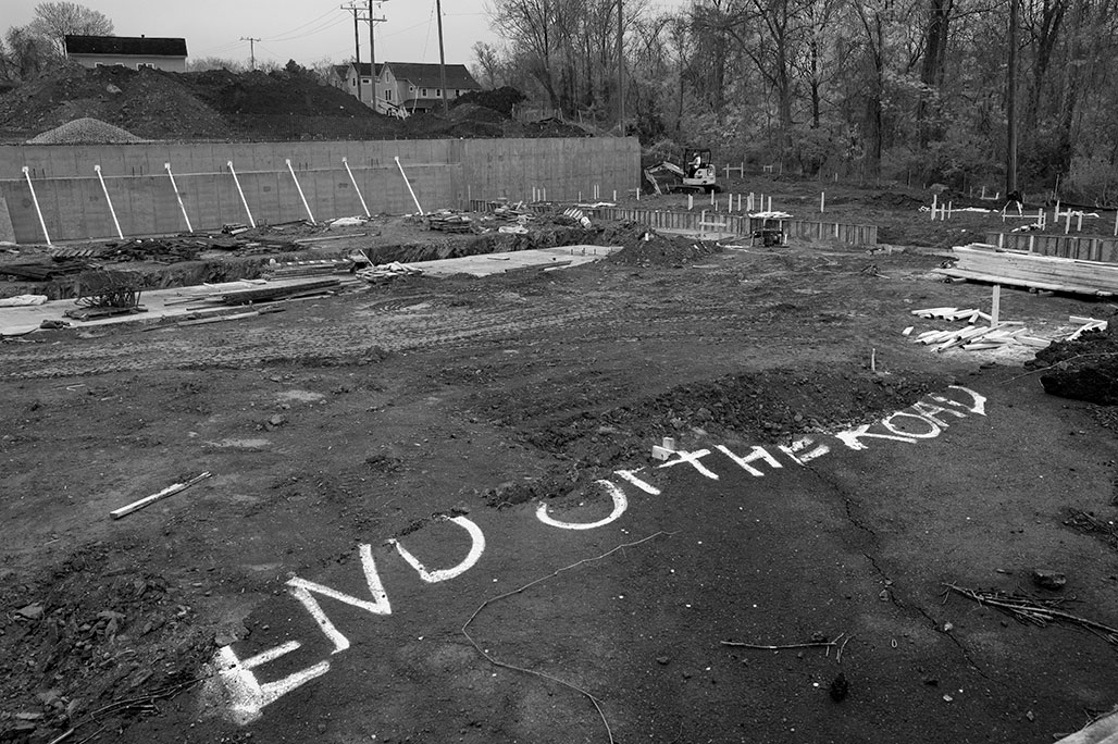
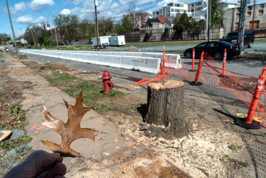
Bulldozer in the foreground, Monticello in the background, floodplain in between.

There’s lots of things that we can do with engineering, with big machines and modern equipment. I mean, there are lots of things that one could do.
And so we do have the ability to build up the soil and help create an island, an elevation that will then put a structure that is out of the 100 year floodplain. That’s true.
We also could pipe the creek and pave it over and then we wouldn’t have to have a buffer. You could actually get a permit from the Army Corps of Engineers to do things like that.

But should we?

That’s where I’m coming from. The 100 year floodplain has a very important hydrologic function in allowing, during a storm, as a water is rushing down, because it has this area it spreads out and dissipates the energy of the water and then some of that sediment load actually drops out in that slower water at the margins. That’s why floodplain soils are so rich, that’s why people like to farm them, because it’s some of the best soil, because that’s where those floodwaters dissipate and lose their energy.
When you constrict the area that the water is flowing through it goes faster. So on a large scale, looking at the whole area, I understand what Mr. Pohl is saying and I understand what Timmons has said, that this will not raise the elevation of the flood overall.

But I’m also looking at this from two perspectives; one is death by 1000 paper cuts, which is all the little fills cumulatively altogether, I don’t have the confidence that we’re looking at it from that perspective.
The other aspect is, again, what I just said about floodplains. They have a purpose and we really should not build in the floodplains. Albemarle County is actually more restrictive; we don’t let you put subdivisions in the floodplains.

You know, our neighbors in Charlottesville allowed a development of housing in the floodplain through an area which I used to kayak when the water was up.
And too bad for those folks when we get another big storm.
I believe very strongly and I have a 35 year career in floodplain and watershed management, and so I’ve spent my whole life trying to keep people out of floodplains.

I would also suggest to you that the zoning, yes is from 1997. But in our comp plan, never mind the park thing for a moment to my commissioner at the other end of the dais, they’re not suggesting this become a park necessarily, but it’s designated as green system because the county did go along and say all of these floodplains, we’re going to call them green systems.

Don’t always think of the Earth as just a place where we are going to recreate or not recreate. There are other ecological functions that are going on there for biota, for salamanders, for all kinds of other critters that are also under our stewardship.
Where I’m coming from is I’m not in favor of allowing fill in the floodplain.

I think that zoning can be old, zoning can be wrong. Zoning can be a bad idea. I think this zoning is outdated. I agree with Lonnie. There are a lot of a lot of reasons why we developed along rivers, that was because that was a transportation system. We had to move goods on the Rivanna. We put goods on batteaux on the Rivanna and sent them down to Richmond. So you know, there’s a lot of reasons why people develop near rivers, also for water supply.

But today, putting industrial along our rivers is also a bad idea. So I don’t think the zoning is good. We’re not here tonight to decide about the zoning, we are here to decide whether you think it’s OK to fill in the floodplain. And I’m going to stick with the comprehensive plan. I think it was wise to say that this is a green system and I don’t care if no one ever recreates in it. So that’s where I’m coming.

I have a lot of hydrologic reasons and ecological reasons for the way that I am presenting my position tonight. I don’t think we’re getting a huge return for allowing this site to become this industrial use by getting it out of the floodplain. That’s it.
I will now step down off my soapbox and yield to my colleagues.–Karen Firehock April 22, 2025 Albemarle County Planning Commission

Earth Day

plant a tree today.

This afternoon the Albemarle County Planning Commission will discuss SP202400026, a request to grade and fill in the floodplain. Those interested in the physical and cultural landscape of central Virginia, consider attending the meeting and providing feedback.
https://albemarle-org.zoom.us/j/81459650960
Webinar ID: 814 5965 0960
1-312-626-6799
1-877-853-5247 (Toll Free)
Press # to enter the meeting without a Participant ID.
Webinar ID: 814 5965 0960

McMansion

I’ve heard about these things.

McMansion
noun
Mc· Man· sion mək-ˈman(t)-shən
A very large house built in usually a suburban neighborhood or development
especially : one regarded critically as oversized and ostentatious
“12900 Aden Rd is a 6,476 square foot house on a 10 acre lot with 4 bedrooms and 5 bathrooms.. Based on Redfin’s Nokesville data, we estimate the home’s value is $1,303,606.”


stony prominence

power plant
The story of Charlottesville’s most famous mill complex is also the tale of a section of Albemarle County, specifically the plot of land approximately one mile east of Charlottesville’s original downtown. “At that point,” wrote Harry E. Poindexter, “Moore’s Creek empties into the [Rivanna] river from the southwest, forming a narrow triangle of land which rises rapidly to a rocky crest some one hundred feet high.”– Britton

3. Community Meeting – ZMA 202200013 Power Plant Residences
PROJECT: ZMA202200013 Power Plant Residences
MAGISTERIAL DISTRICT: Scottsville
TAX MAP/PARCEL(S): 07800-00-00-021B1
LOCATION: South side of E. Market Street, approximately 60 linear feet southeast of the municipal boundary between the City of Charlottesville and Albemarle County, VA
PETITION: Rezone 0.61 acres of Preserved Steep Slopes Overlay Zoning District to Managed Steep Slopes Overlay District on TMP 07800-00-00-021B1. No changes to the underlying primary R4 Zoning District are proposed with this application.

5th & Avon Community Advisory Committee

Date: 05/18/2023 7:00 PM – 8:30 PM
Location: 5th Street County Office Building, Room B
1600 5th Street Ext
Charlottesville, Virginia 22902

Application materials available

Eminent Domain

3 dogs
I asked Council to seize 21 acres in the floodplain of the Rivanna River, to provide the current owner of the property with just compensation, and create another river park. In the alternative there will be a 15 foot flood wall that blocks access from neighborhoods to the river, a 2 acre parking lot and 245 apartment units.

“that sort of burst on us about a week ago”

(audio from 3 of 5 councilors below.)
Cville Plans Together

west view Carlton Avenue 2003
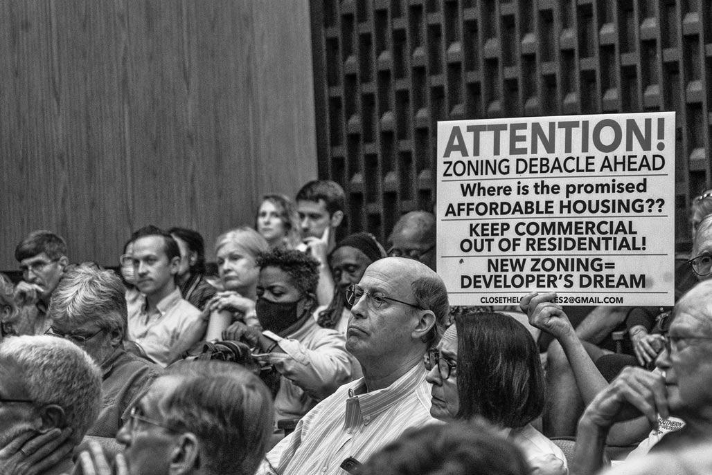
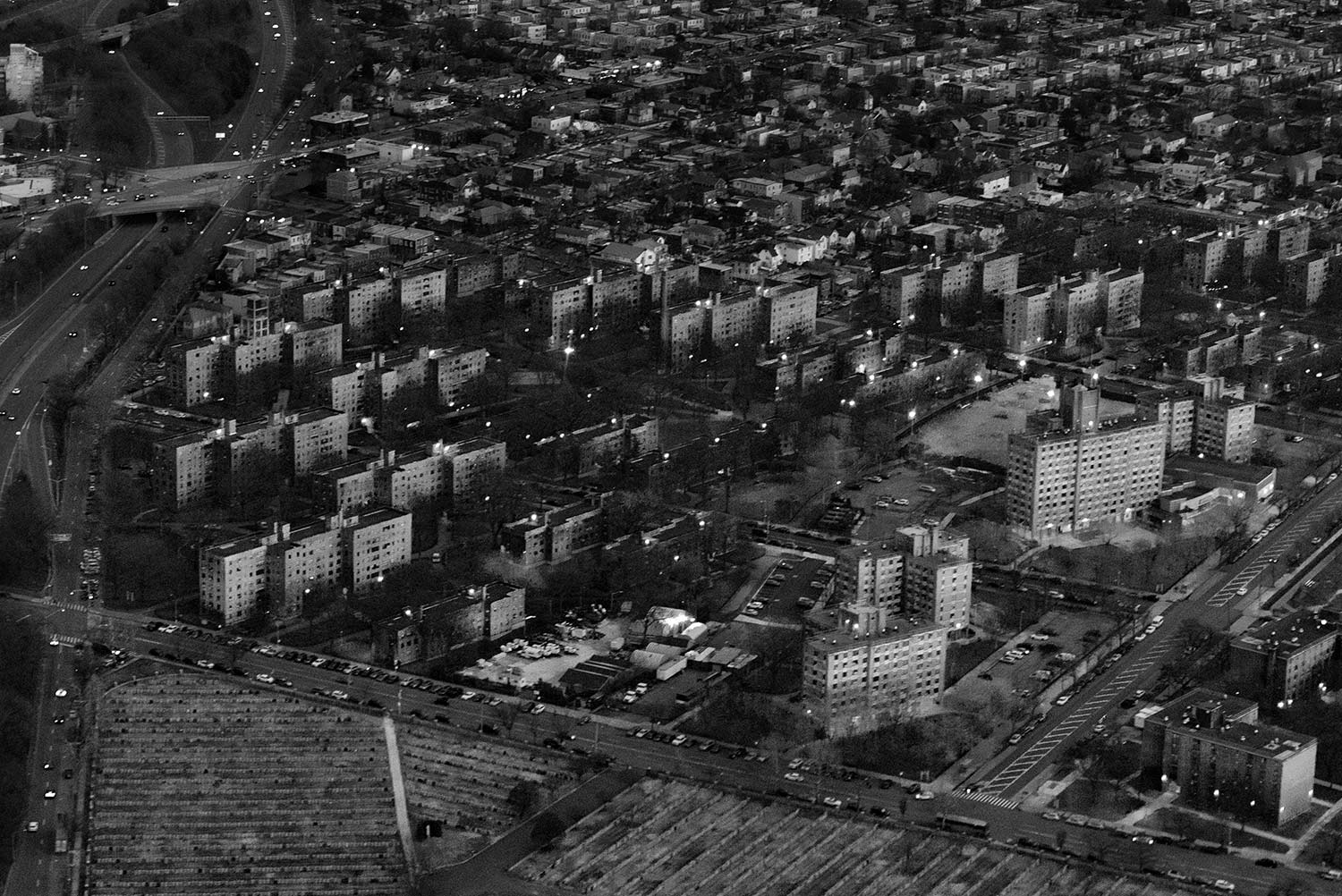
March 1 City Council endorsed the affordable housing plan, the lead piece of the three part Cville Plans Together effort. The three easy pieces, the housing plan, a rewritten “Comprehensive” plan and a rewritten zoning ordinance. Who will make the money from this effort? Who will loose?
Carlton Views III under construction
The 4.86 acre H.T.Ferron plant, once zoned for manufacturing, is now zoned for PUD. No one agrees what PUD is. That is what is so wonderful about PUD. You see what you want to see. Possibly we’ll rezone the entire city PUD?

uneasy marriage

CA stack CO tracks
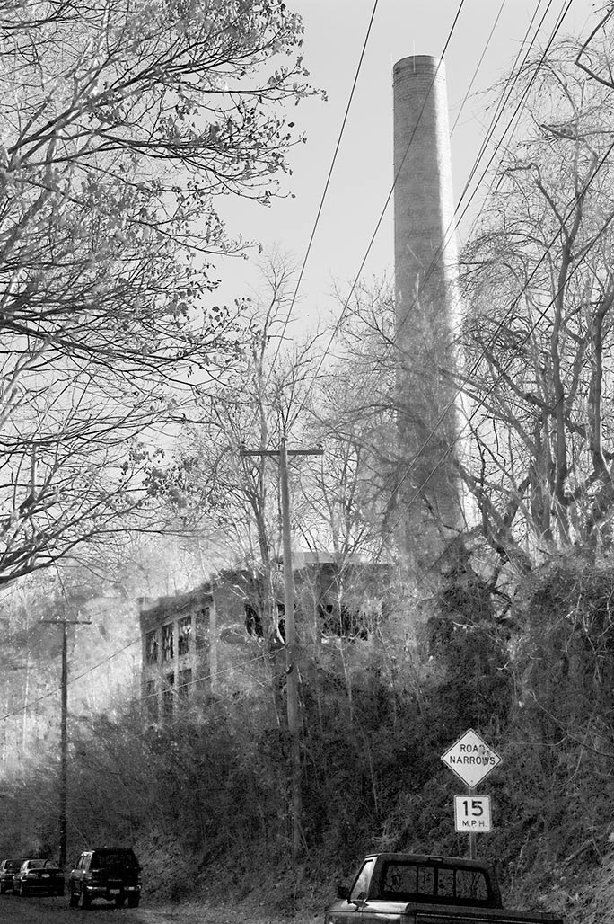
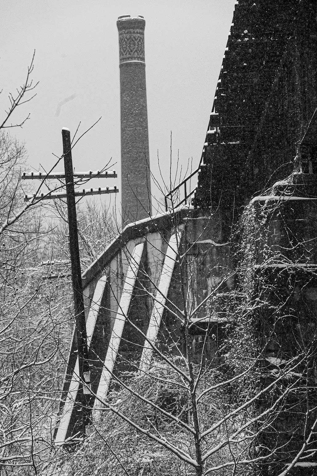
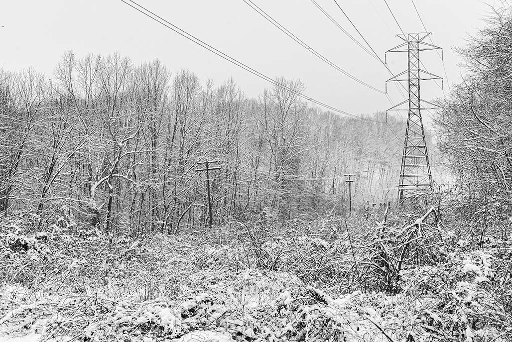
It struck me this morning that the park I walk through owes much of its existence to successive technologies. The streetcar technology (smokestack above) has been abandoned. The other technologies that undergird this public space are sewage collection and high voltage electrical transmission.
dog running in snow woods
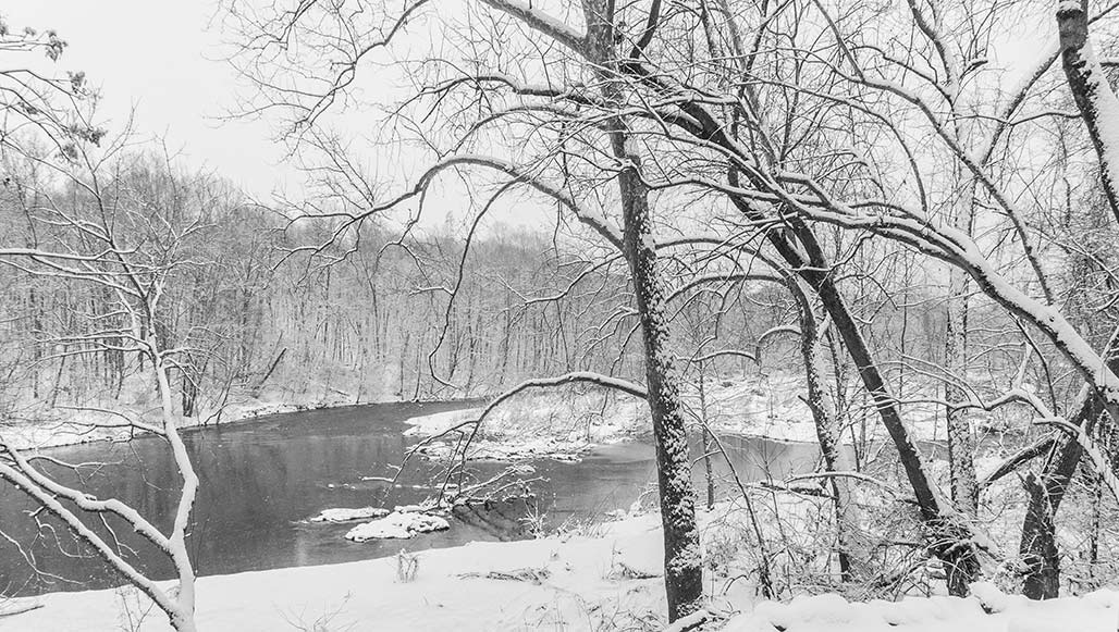
Rivanna trail, winter weather.
Geology and topography have graced the park with a river. So far, in our political wisdom, we have discouraged building in the river’s channel.
The industrial and the natural features maintain an uneasy balance, remarkably it feels like a park.