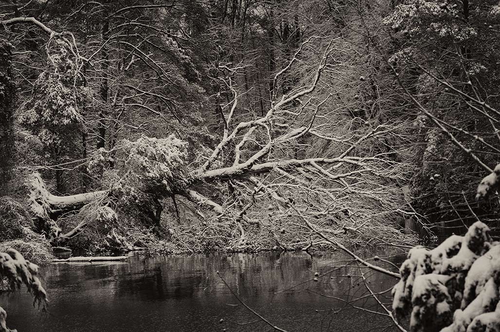
something fell down
Category: damage
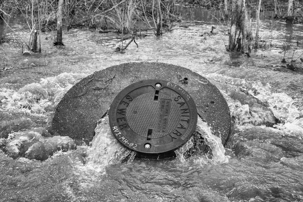
Inflow and Infiltration (I&I)

(if the photo is too small there is video)
Sat, Jan 15, 2011 at 5:53 PM To: Council
Cc: tfrederick@rivanna.org
Dear Councilors,
December 8, during RWSA’s presentation on the Rivanna Pumping Station, I asked Mr. Frederick how much it would cost to repair the inflow and infiltration problems that affect our waste water system (by system I meant all waste water pipes that connect to RWSA’s waste-water treatment plants).
As I understood his response, to get to the optimal industry standard practices fix of our waste water system would cost $400 million, this is the fix where there is still I&I but it is substantially reduced. To actually fix the pipes (make them water-tight, no one does this), would cost around two billion dollars.
Rivanna runs a system, hydration and sanitation. Alas, I can’t think of an apt analogy. My not so accurate way of thinking of it…
“It is like a car. The input side, the water supply, is the gas. Water supply speeds up the economy, we can hook up houses, hook up businesses. The safety side, the sanitation, is like the brakes. The waste-water (output) side must collect and treat the effluent from these houses and businesses.”
Our region has spent a great deal of time/money studying the input side. It is my impression that we have spent less time studying the output side. If I understood Mr. Frederick correctly, a detailed study of the waste-water side would take ten years to perform. The RWSA board in the past (2005) approved an evaluation of the waste-water side, but it’s my impression that that evaluation was not equal to a detailed study.
To me, it makes sense to repair the sanitation side in lock-step with increases on the water-supply side, like balancing a budget. Hope this will happen as we move forward.
Does the 25% I&I reduction by 2020 to which we (RWSA, ACSA, CHO Public Works) have committed achieve that balance?
Thanks,
Bill Emory Charlottesville VA 22902
Changeless change
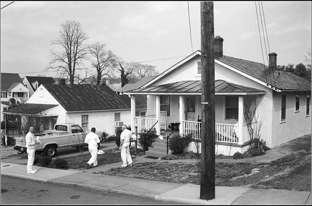
"Since the city and consultants first introduced the Future Land Use Map in 2021, right up until the most recent pop-ups held by consultants and NDS on the Draft Zoning Ordinance (DZO), residents have asked for visualizations of what actual Charlottesville streetscapes could look like under the new regulations. Neither the city nor its consultants have obliged. We believe that while visualizations do not function as arguments for or against the DZO, they are an indispensable tool for residents trying to form an opinion on various aspects of the proposal. We have therefore prepared several simulated visualization of specific blocks in Charlottesville -- both to provide the tools that residents asked for and didn't get and to show that there was no difficulty involved in preparing visualizations that could have reasonably prevented a competent consultant or NDS department from providing them. You can find the videos below. We anticipate the we will add more over time. If you have an area for which you'd like to see a visualization, please reach out to us via email. Please bear in mind that the purpose of the videos is to help give viewers a concrete sense of height, massing and coverage. These are not architectural renderings or surveys and are necessarily approximate. We do not suggest that the generic 3D models we used are predictive of the architectural styles developers would use or that the blocks we simulate are more likely than others to be redeveloped."--A Nonymous
petition to dial back proposed zoning
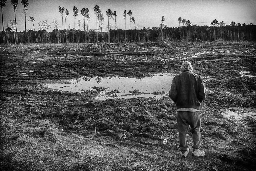
clearcut
Privacy
day of rest
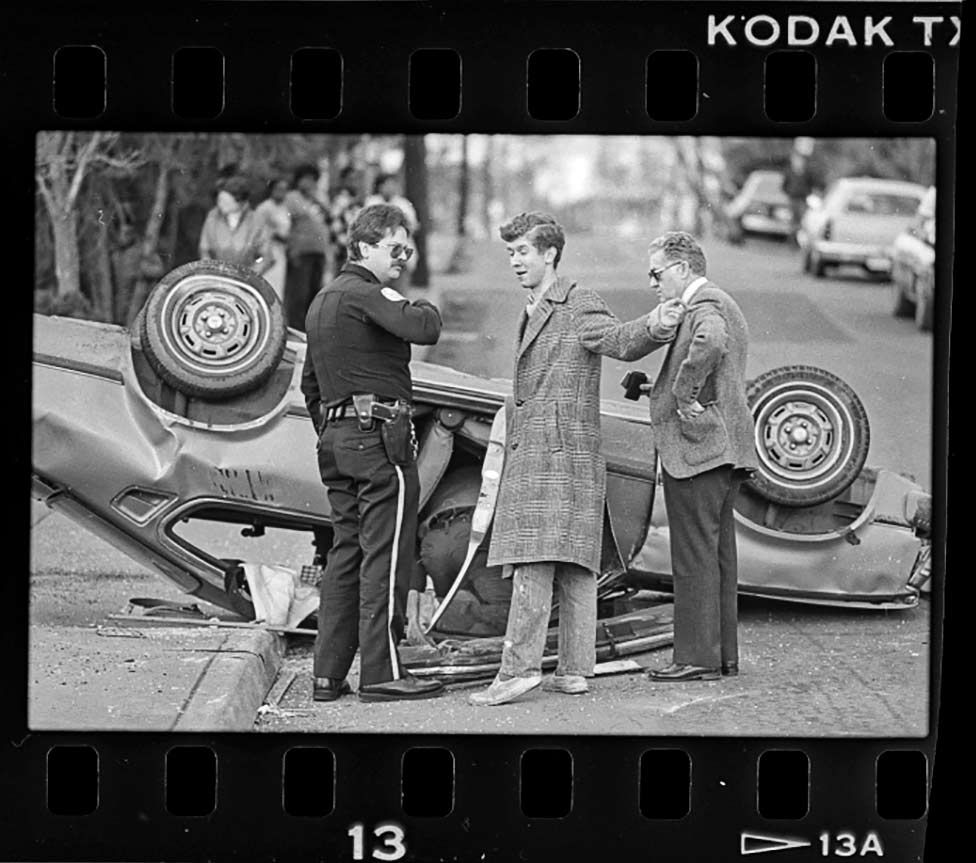
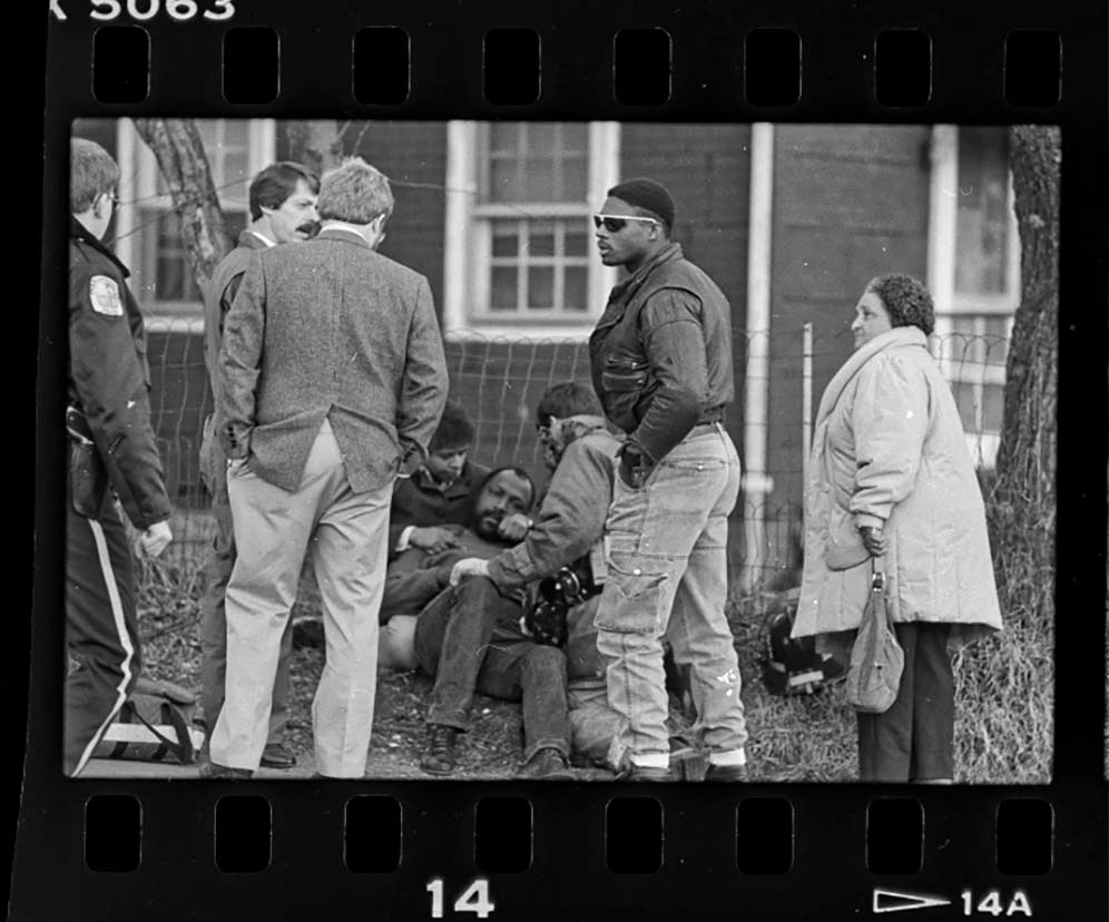
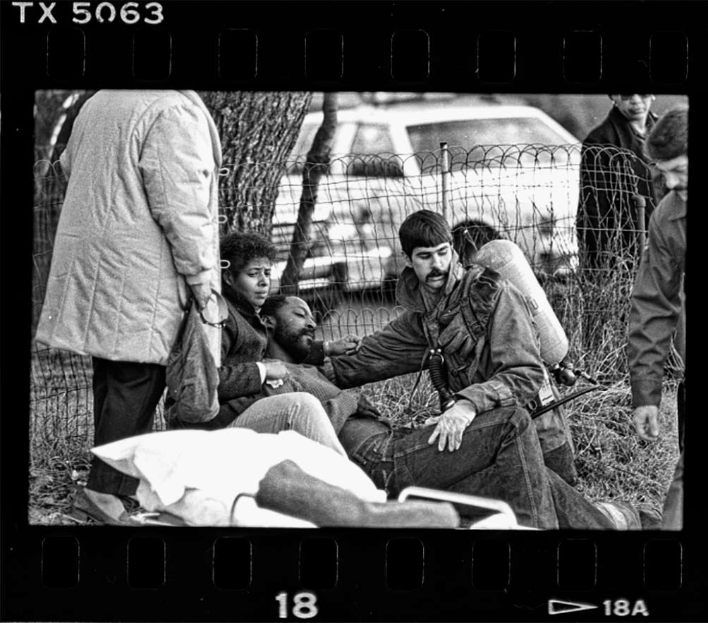
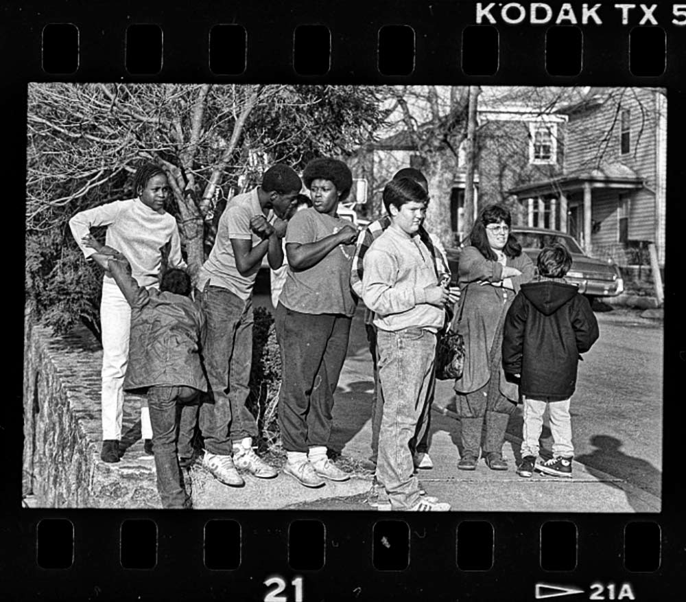
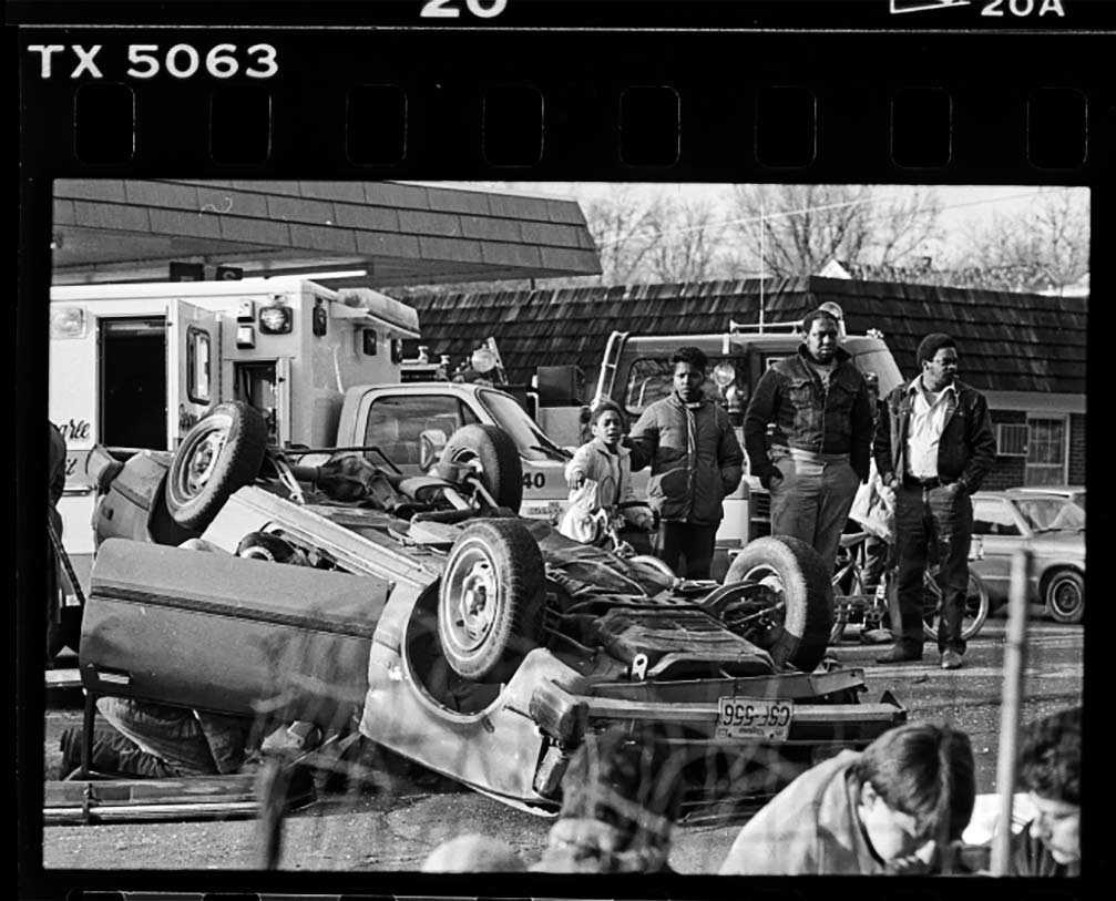
bad day

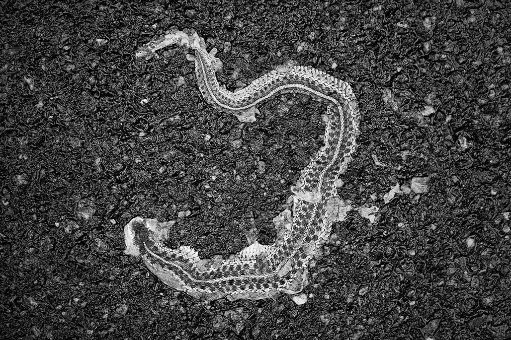
flat snake
falling
U.S. Capitol
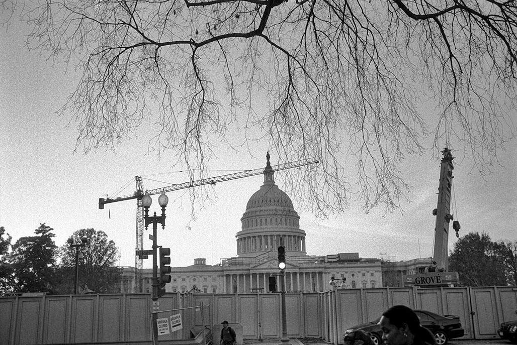
(November 3, 2004)