Category: architecture
supersize
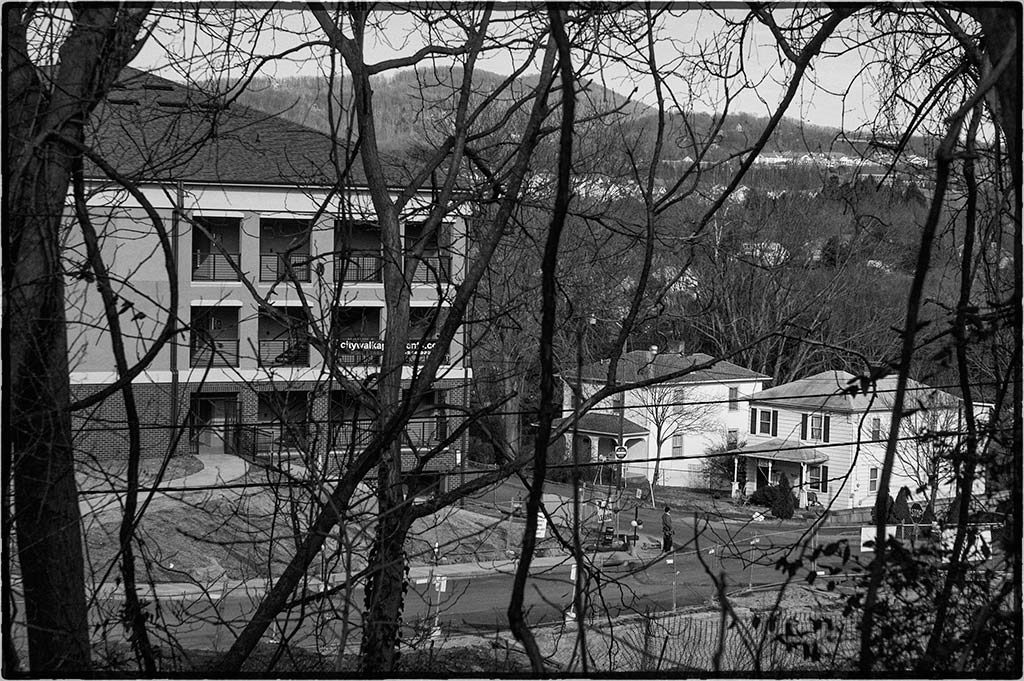
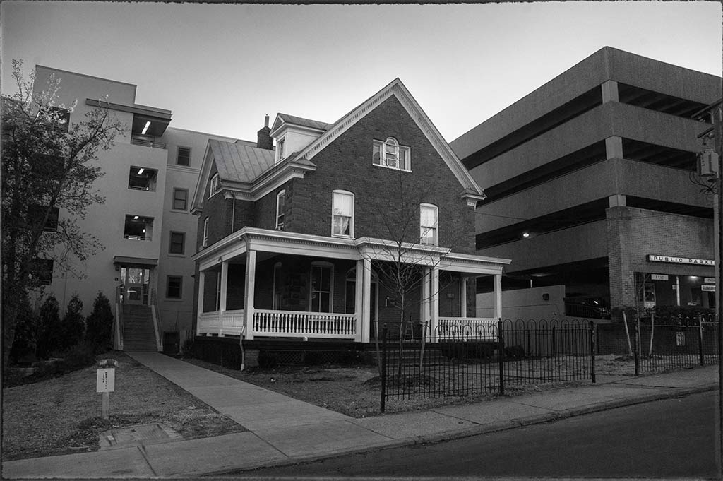
“City Walk” sprouts…
Palmer Hall
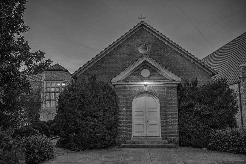
HISTORICAL BACKGROUND
The congregation of St. Stephen’s Episcopal Church was officially organized in 1911
under the guidance of Rev. Zebulon S. Farland. That same year a simple brick chapel was
erected near the end of Grove Avenue to house the group. As the neighborhood near the
church grew, so did the congregation; thus in 1921 planning for a larger structure was
underway. A lot west of the chapel, at the corner of Grove Avenue and Three Chopt Road,
was purchased. The same year Rev. Giles B. Palmer assumed the duties of rector , which
included overseeing the construction of a new building.–VADHR
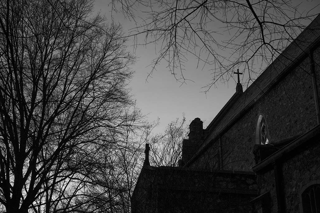
This the place where my mother’s memorial service will be held February 22, 2014.
Saint Stephen’s
graffiti
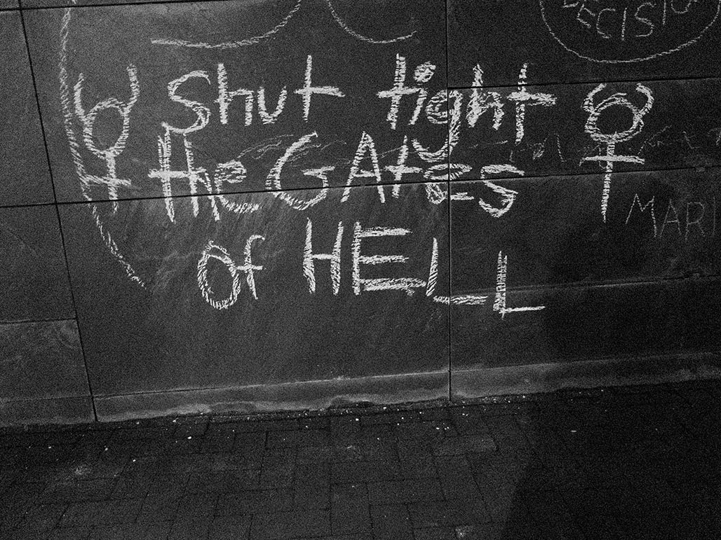
The Thomas Jefferson Center for the Protection of Free Expression installed a First Amendment Monument in our City, it is a monolith, 54 feet long, 7.5 feet high.
Faced with slate. It was a good idea. But the execution, the slate is very roughly finished,
not like a chalkboard at all, it is a difficult surface to write on. Try writing on toilet paper with a quill pen, it’s like that. The wrong surface. What was the architects’ intent?
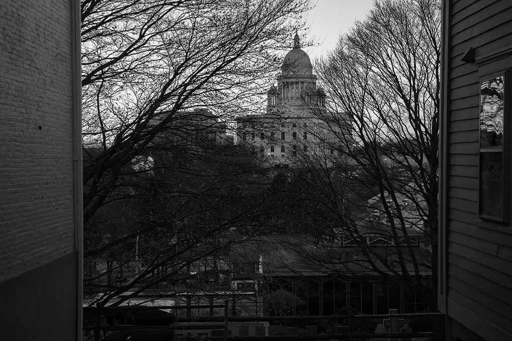
Capitol
Westend
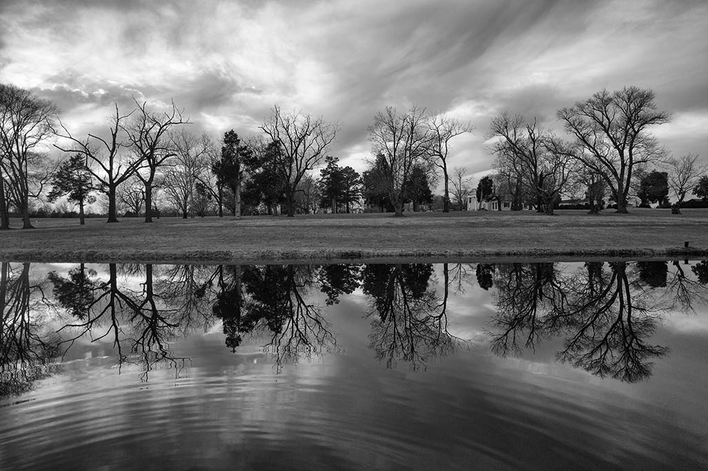
Taylor Century Farm, “Westend”, in Green Springs district.
Steve
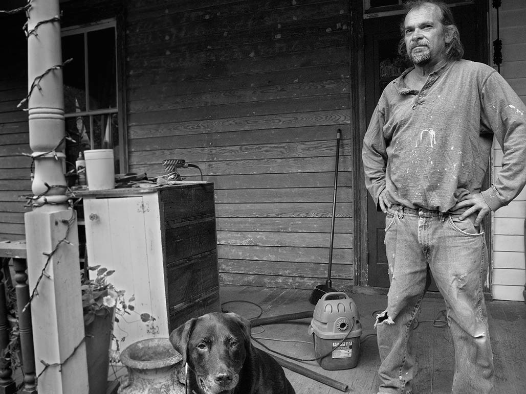
One characteristic of the Woolen Mills historic houses is front porches, I love sitting on a front porch, having a visit. Steve was scraping paint so after saying hello we split.
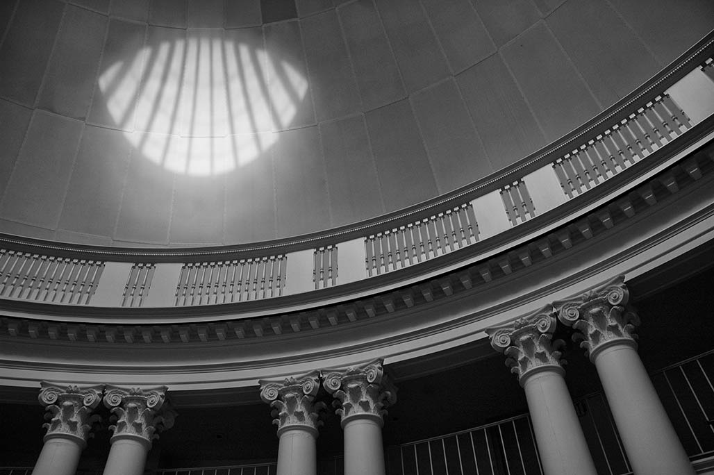
dome room
Three Notched
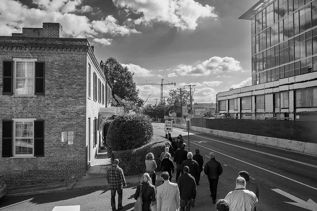
Charlottesville City staff join personnel from Rhodeside and Harwell for a walk up and down a portion of the Three Notch’d Road. At the west end of the 4,000 foot segment are the grounds of University of Virginia, at the east end of the segment, is the Charlottesville pedestrian mall.
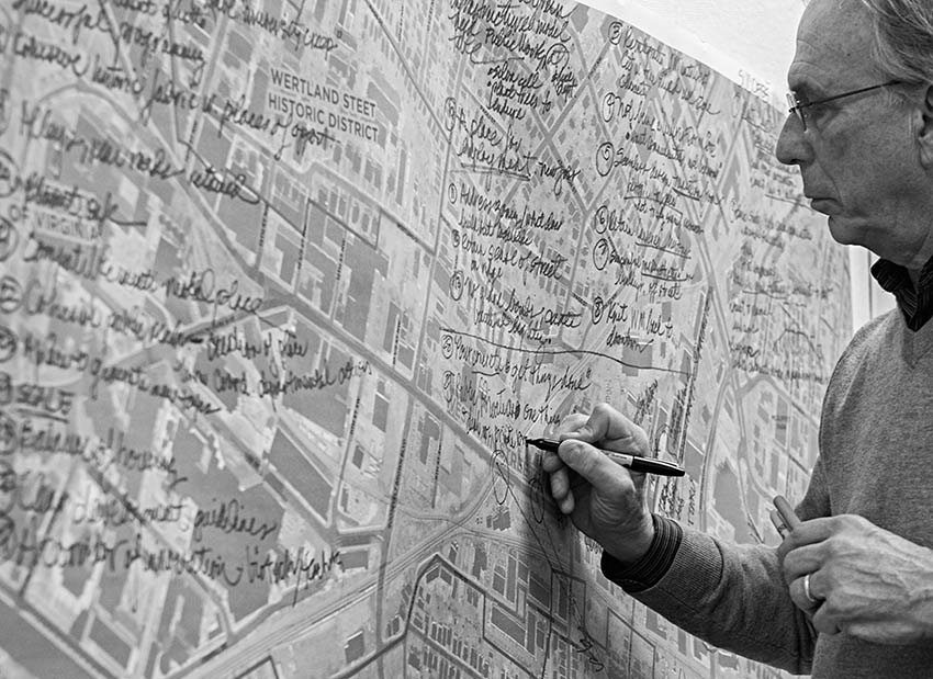
Of the area in-between the West Main subcommittee of the PLACE Task Force comments:
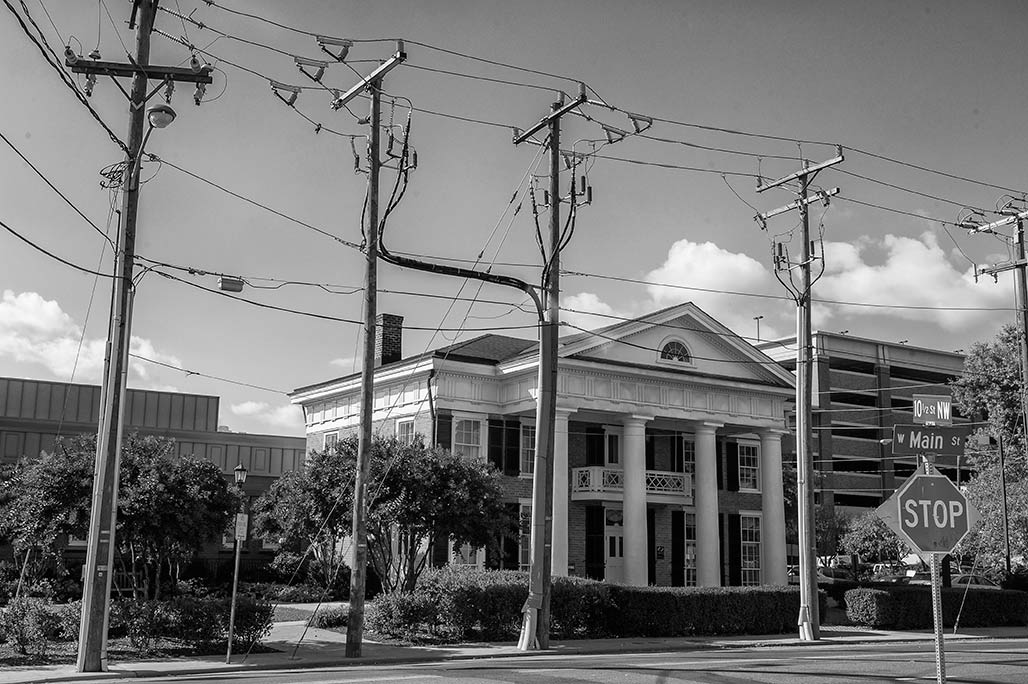
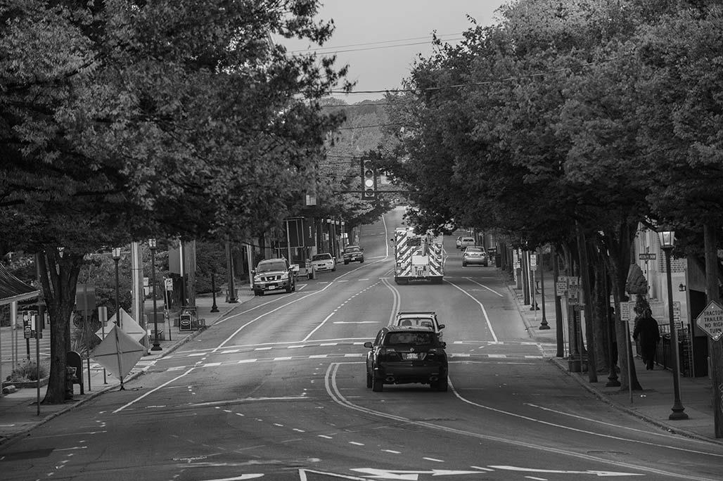
The subcommittee’s preliminary discussions about the corridor suggested that there were several impediments to its success that related to: the design of many of its discrete elements; the codes and design guidelines that govern both the public right-of-way and the adjacent properties; and the review process for new development. Several of the design problems include, for example, the conflict between street trees and overhead utilities, sidewalks that are too narrow, poor lighting, excessive off-street parking along the street edge, and unsafe intersections (particularly the intersection of west Main Street and Ridge/McIntire).
The different character of West Main along its length was not reflected in the planning guidelines and codes governing the corridor, and the expectations for redevelopment were not clear, creating a difficult review process for those wishing to build along the corridor. Property owners and developers also indicated that many of the issues they face need to be addressed collectively, and would support efforts from the city to coordinate the actions of individual property owners. These issues include parking, stormwater management, maintenance and security.
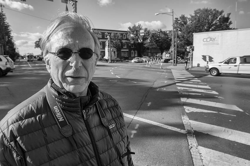
Pictured above, Elliot Rhodeside. Behind him is the awesome pedestrian no-man’s land formed by the intersection of South Street, Water Street, Ridge-McIntire, Ridge and West Main. How about the Poynton approach?
A great deal of activity on W. Main these days. How will the commons fare? Commons is the space shared by cyclists, trees, fire-engines, pedestrians, parked cars, gas, water, stormwater and sewer lines, overhead utilities, street lights, street furniture, signage, student BMW’s, public transit, local freight, skateboarders….
Sustain!
To learn more about the history of W.Main download the PLACE Annual Report.
PLACE Report 2013
Charlottesville Tomorrow’s Sean Tubbs reports