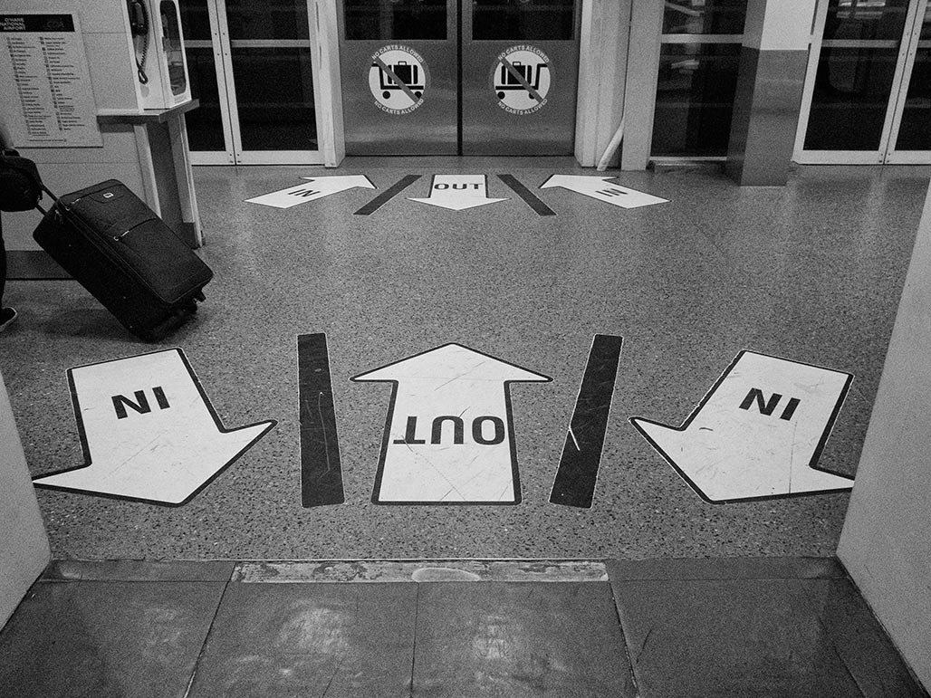
shared space
photography from the Chesapeake Bay watershed by Bill Emory

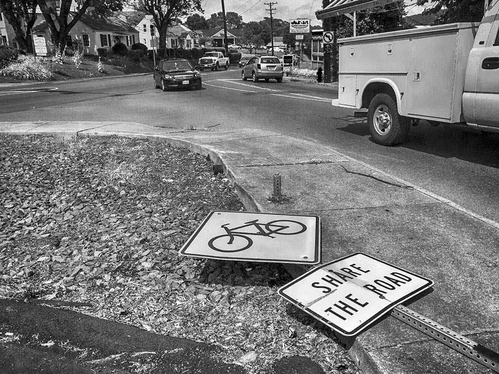
Ms. Szakos moved to approve a six month pilot from Market St. to the driveway of the existing business with appropriate signage, conduct a traffic study, and engage citizens and businesses. Ms. Galvin seconded, with the addition of a clearly marked pedestrian pathway. Ms. Smith said we should be sure we give adequate notice to the neighborhoods. The resolution passed. (Ayes: Ms. Szakos, Ms. Smith, Mr. Huja, Mr. Fenwick, Ms. Galvin; Noes: None.)
Never happened.
Since that time the Bike-Ped master plan revision has been recommended for approval by the Planning Commission. County and City meet to discuss the Rivanna corridor and planning issues along their joint boundary.
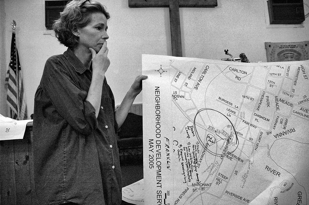
Last night as part of its consent agenda Council approved funds for a sidewalk on Franklin.
The Code audit, Standards and Design Manual revisions, the Streets That Work initiative, these hopeful initiatives seem to be MIA.
The new director of Neighborhood Development has a very full plate.
(Kristin Szakos) So it would be up by, theoretically, July firstish?
(Jim Tolbert) Depending on the work load of Public Service you know they would have to schedule we would give
them a work order um if if we could gamble and go ahead and order some flexposts cause we have places we could
use them anyways so we can go ahead and figure out how many of them we need, order them so we can move faster.
(Kristin Szakos) I think that would be good, if people are walking through there to get to the pool, it is summertime,
lot of people walking I think.
May 19, 2014
(photo taken August 13)
motor age 1
motor age 2
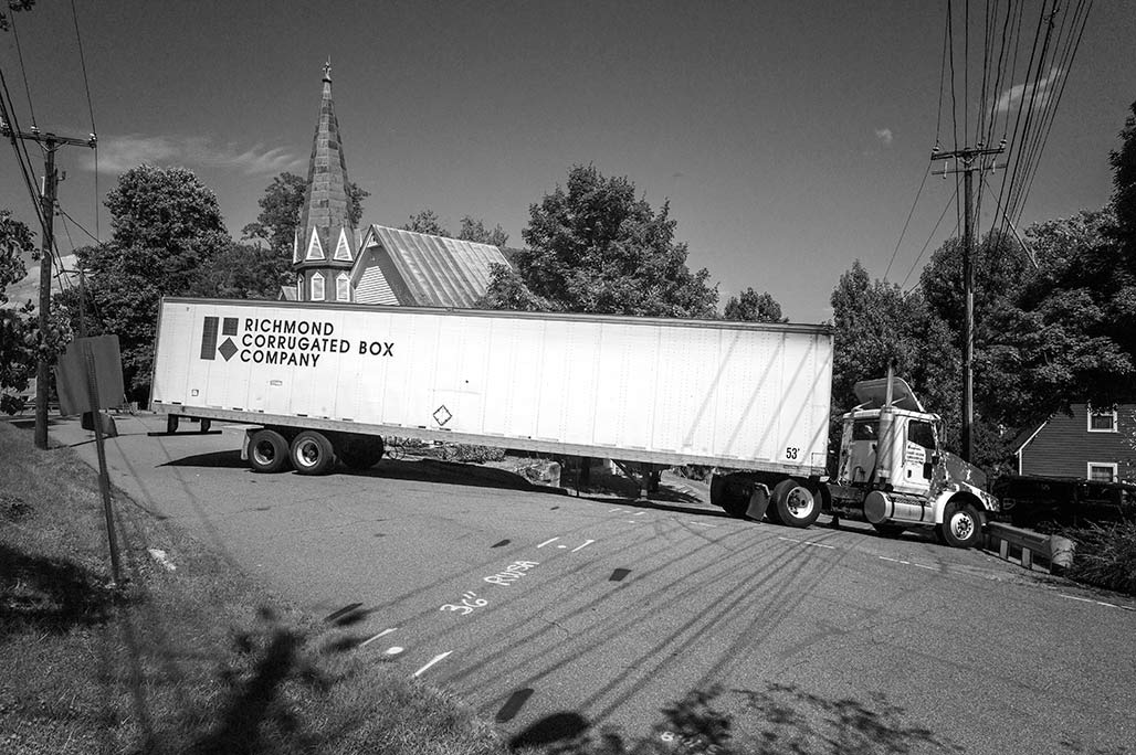
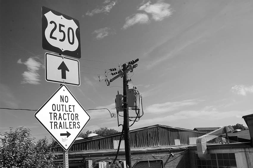
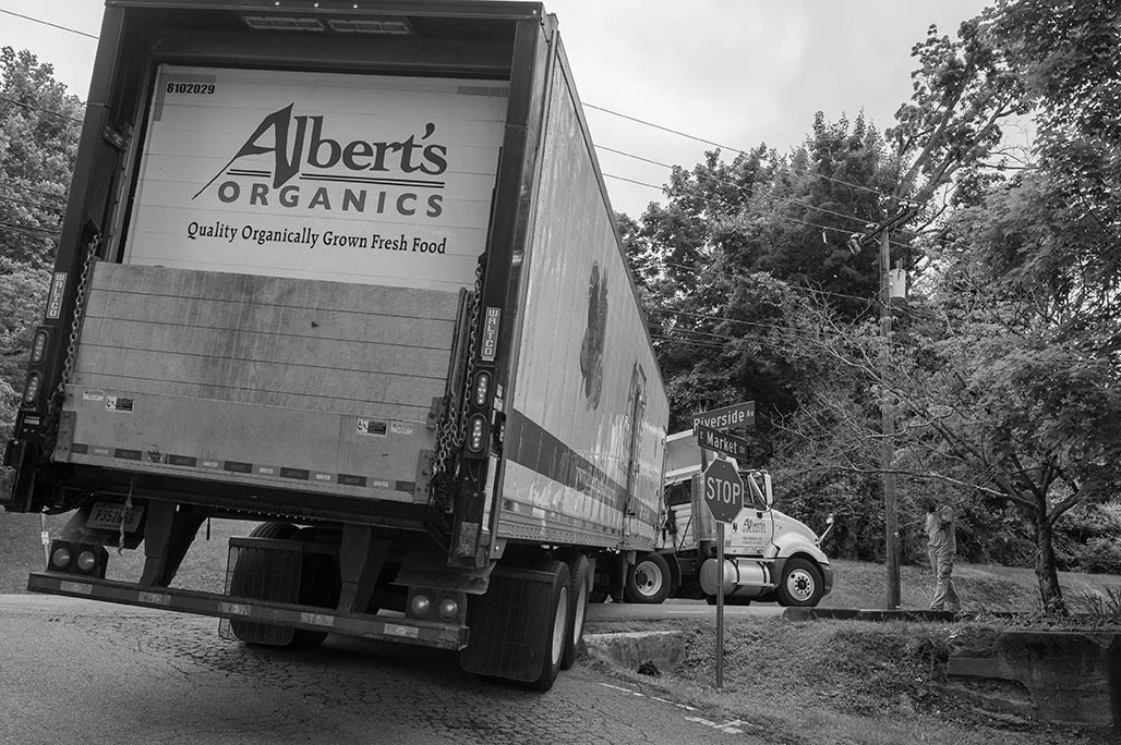
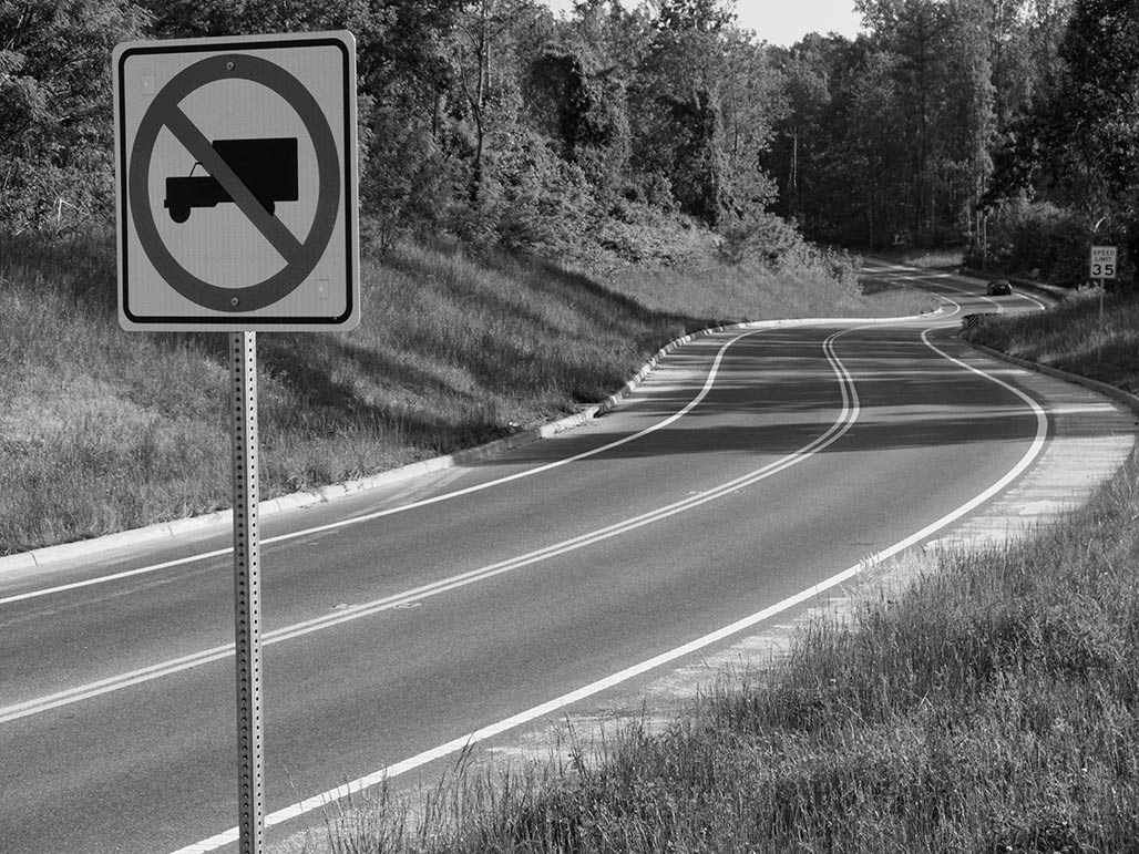
About once a month we catch a truck here. The City has signs posted discouraging
18 wheelers from rolling through the neighborhood, but the signs are advisory in nature, no bite.
But for those who venture in, there are gravity traps, constrained roadways
and Crazy neighbors with pitchforks
Chuck Marohn has an excellent podcast on the Strong Towns
site, a conversation with Ben Hamilton-Baillie, street designer and shared space advocate.
Marohn and H-B talk street design, traffic engineering and human psychology.
Streets and their sidewalks, the main public places of a city, are its most vital organs.–Jane Jacobs
The Death and Life of Great American Cities, Chapter 2
Streets define our cities. Learn about them…
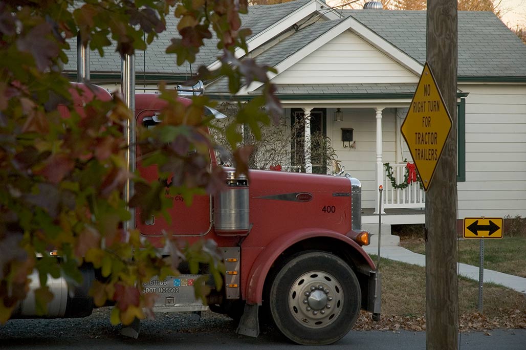
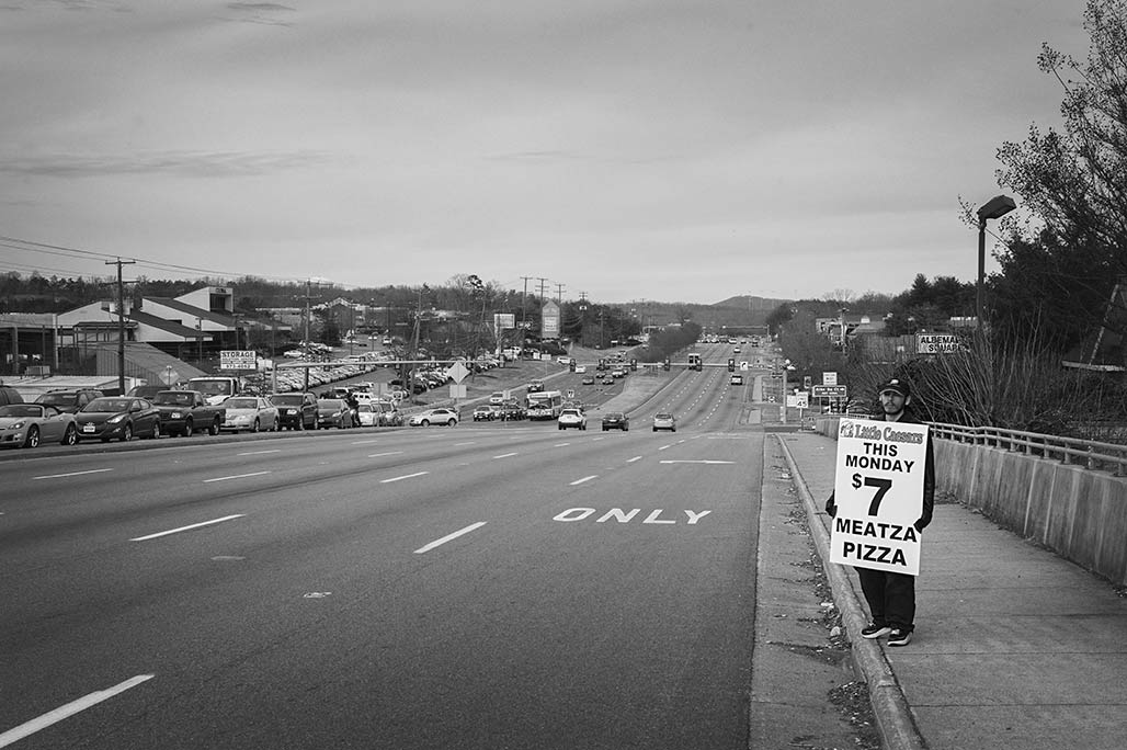
Tiptoe in on 18 wheels
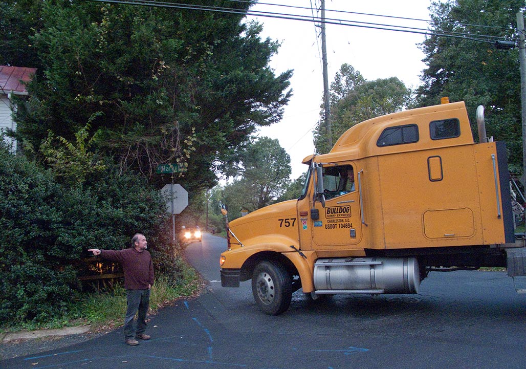
The City has put up signage but it is of the advisory type. Doesn’t speak to the wallet. Steve contradicts the GPS, free
pedestrian advice to errant drivers.
This truck was starting to turn turtle. Its drive wheels were no longer in contact with the pavement. Teetering between
two historic properties, the Pireus store (ca 1847) and the Woolen Mills Chapel (ca 1886).
In the future possibly the City will consider one of these signs, here protecting the John Warner Parkway.
Discipline vehicles. Context sensitive. Note to City regarding context: the Woolen Mills is a city treasure,
not a high speed industrial corridor. People old and young, walking, biking and driving.
Those with the most power, in the neighborhood context, should yield to those with the least.
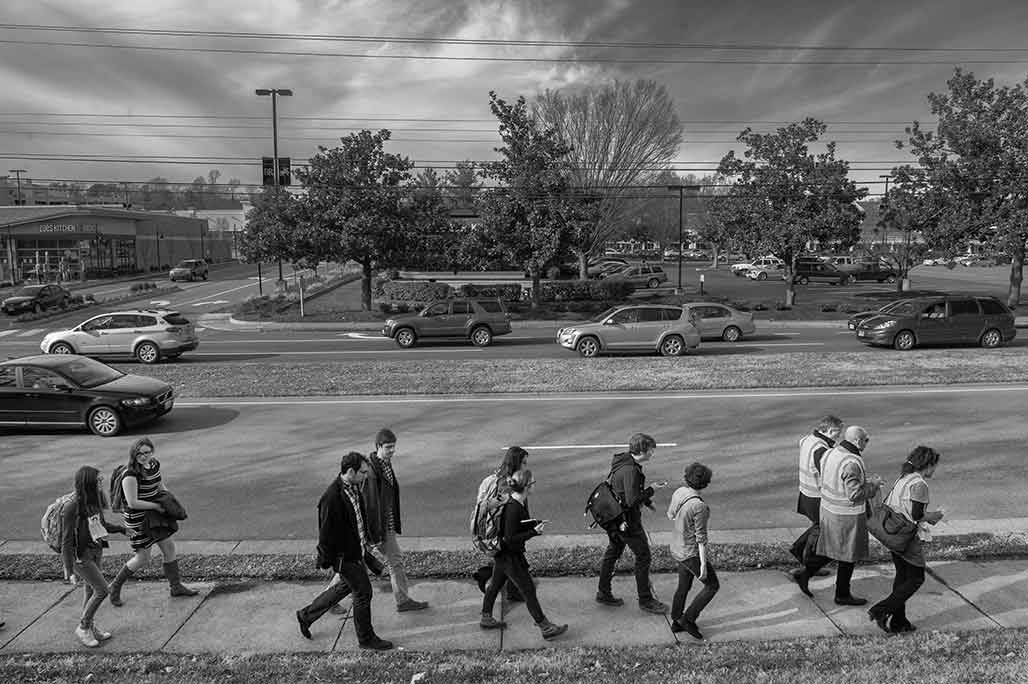
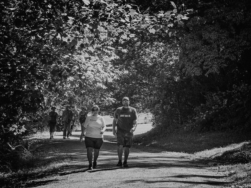
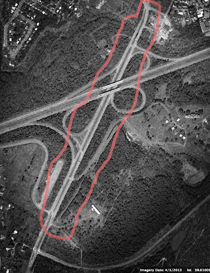
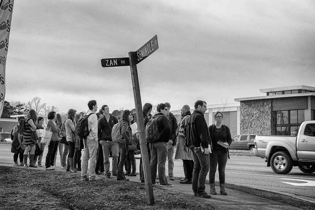
Monday January 13 UVA School of Architecture students and faculty walk where angels fear to tread,
a five mile trek north from the Ivy Road “Seminole Trail” intersection to the Rivanna River.
The pedestrian infrastructure along Route 29 is 99.9% installed.
Where then are the pedestrians?
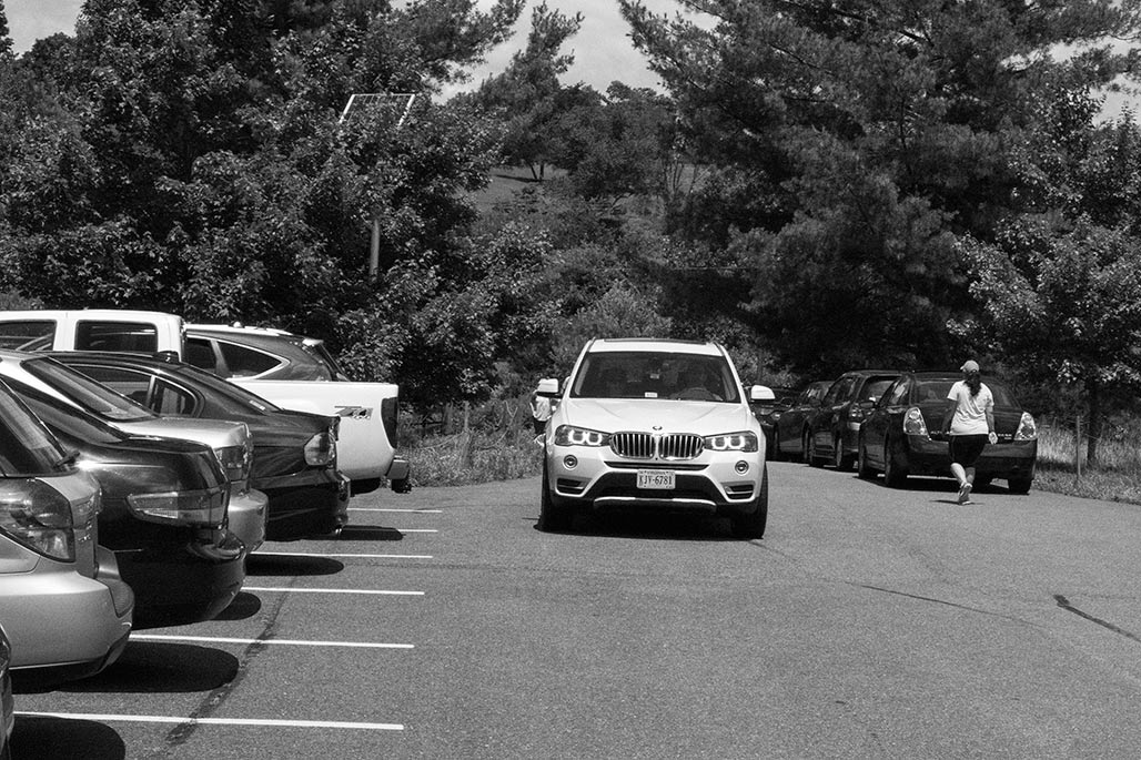
During the two hour walk the folk from UVA encountered a handful of indigenous bipeds.
The majority were runners wrapped in spandex, plugged into hydration equipment.
Several were seated at CAT bus-stops, visual and aural hooked to cell phones and iPods.
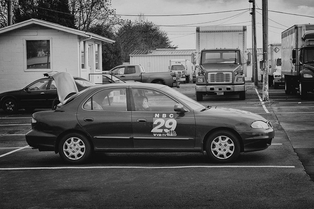
The event was covered by the Daily Progress and Channel 29, from automobiles.
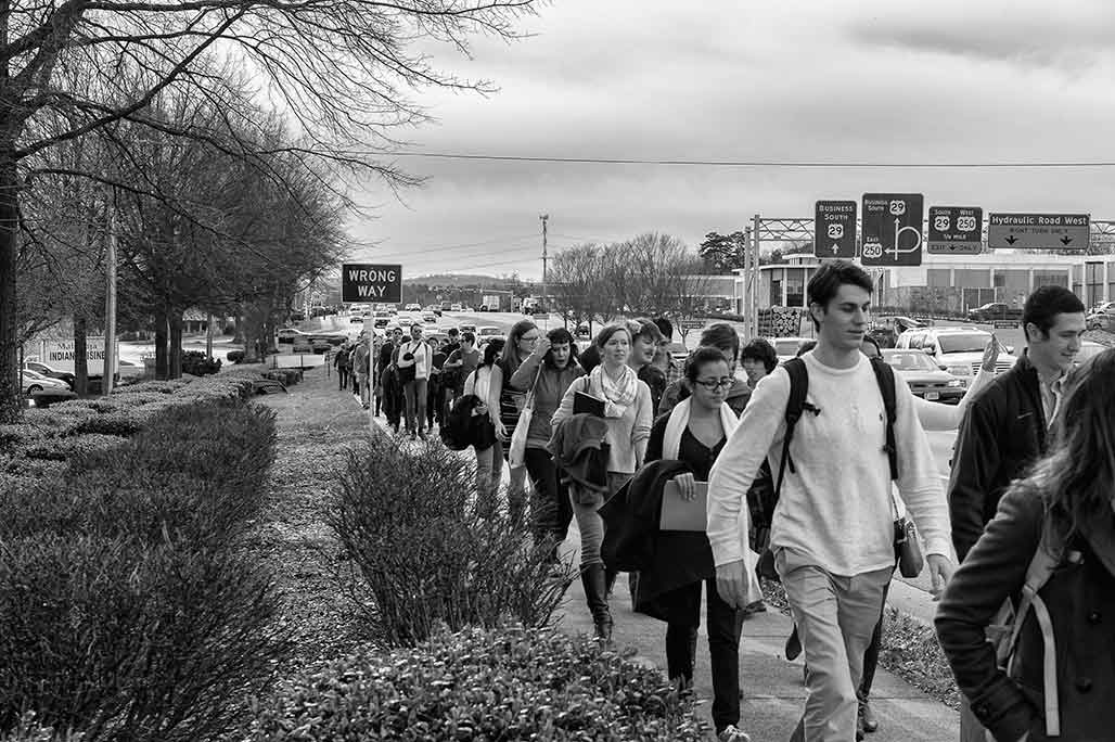
The throng makes its way north at 2.5 mph. While US 29 might appear visually interesting at 45 mph, at walking speed its lack of amenities is notable, there is nothing to see or do other than preserve one’s physical safety.
The strip is a visual wasteland.
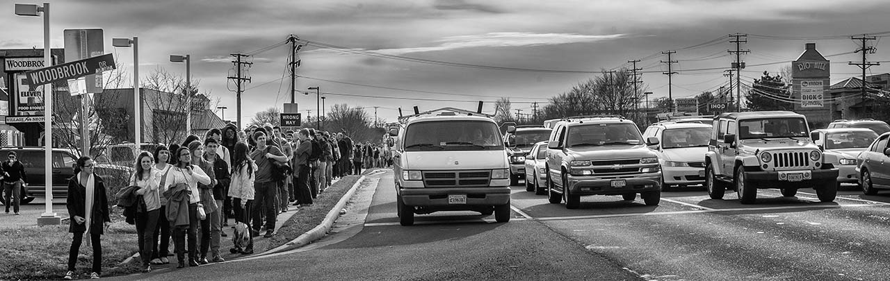
One constant along the way were the looks of disbelief that the group of pedestrians received from the rubber tire populace.
Even the newest development along “Main Street” offers slight comfort to bipeds.
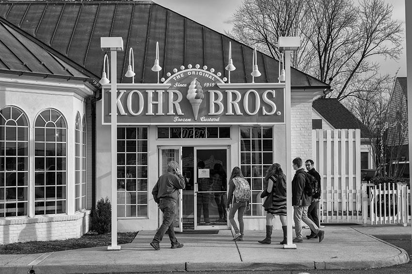
This store featured an inviting, human scale facade.
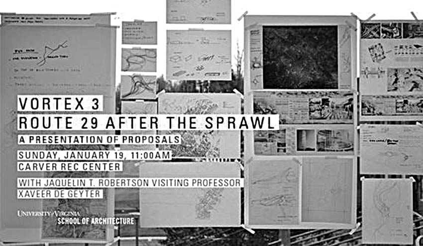
Sunday, January 19, students will present their proposals at the Carver Rec Center, 605 E. Main St., Charlottesville, VA 22902.
Charlottesville Tomorrow covers the winners
Color photos of the Route 29 trek by Sanjay Suchak
Charlottesville Tomorrow coverage
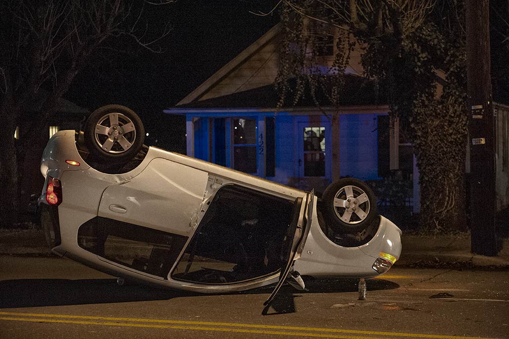
400 block of Meade Avenue. Single vehicle accident. Speed and alcohol did not seem to be at play. Minor injuries. See this condition more often in sailboats.