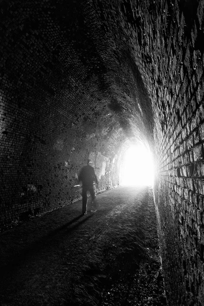
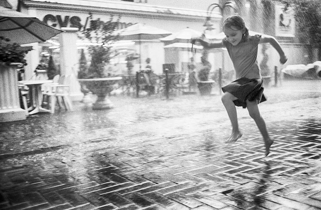
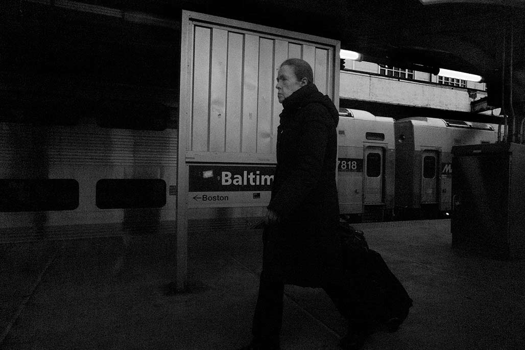
street trees

Paris street
The Avenue des Champs-Élysées is an avenue in the 8th arrondissement of Paris, France, 1.9 kilometres (1.2 mi) long and 70 metres (230 ft) wide, running between the Place de la Concorde in the east and the Place Charles de Gaulle in the west, where the Arc de Triomphe is located. It is known for its theatres, cafés and luxury shops, as the finish of the Tour de France cycling race, as well as for its annual Bastille Day military parade. The name is French for the Elysian Fields, the place for dead heroes in Greek mythology. It is commonly regarded as the “most beautiful avenue in the world”.–Wikipedia

Bike Ped Bridge survey

The Thomas Jefferson Planning District Commission is working to submit a bike-ped bridge proposal to VDOT later this year. The TJPDC is considering two potential bridge locations. One bridge would land at the end of Chesapeake Street, one would land at the end of Market Street.

They are interested in public input, so please consider taking the survey

It is a short survey, only takes a few minutes.

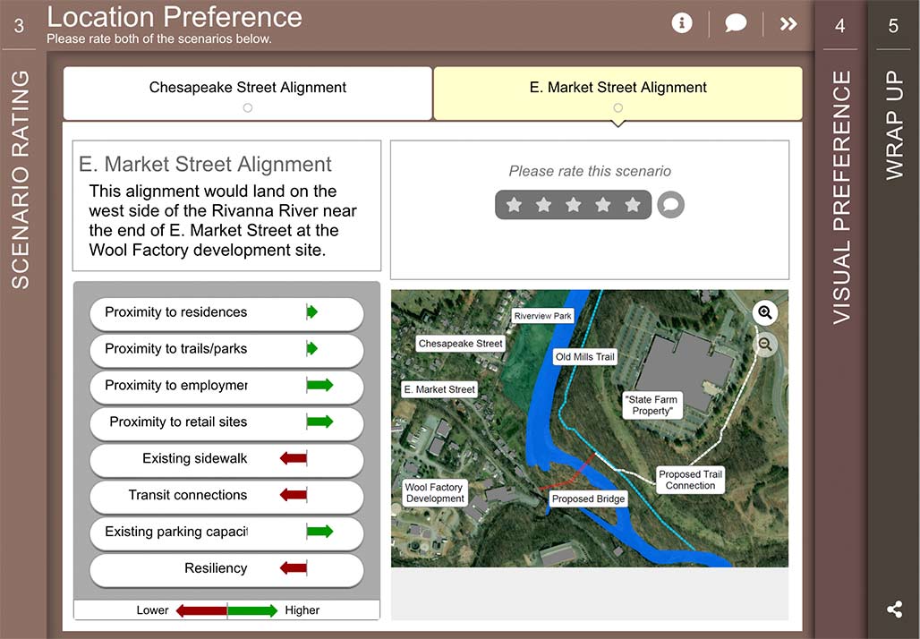
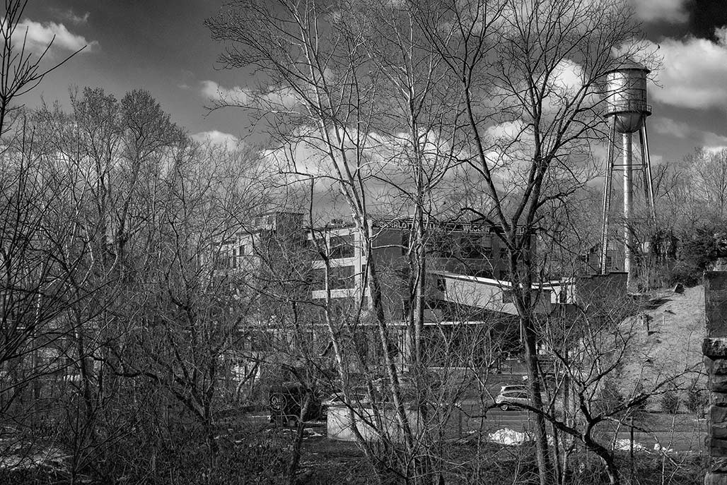
The Piedmont Environmental Council has assembled an excellent group of photos and maps + information about the proposal here.