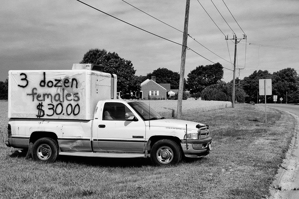
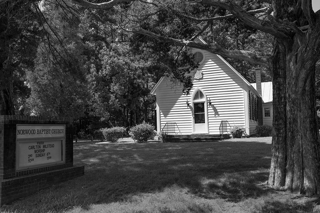
photography from the Chesapeake Bay watershed by Bill Emory
Author: WmX
I stumbled off the track to success in 1968, started chasing shadows that summer. Since then, In addition to farm-laborer and newspaper photographer my occupational incarnations include dishwasher, janitor, retail photo clerk, plumber, HVAC repairman, auto mechanic, CAT scan technologist, computer worker and politico (whatever it takes to buy a camera.) I am on the road to understanding black and white photography.
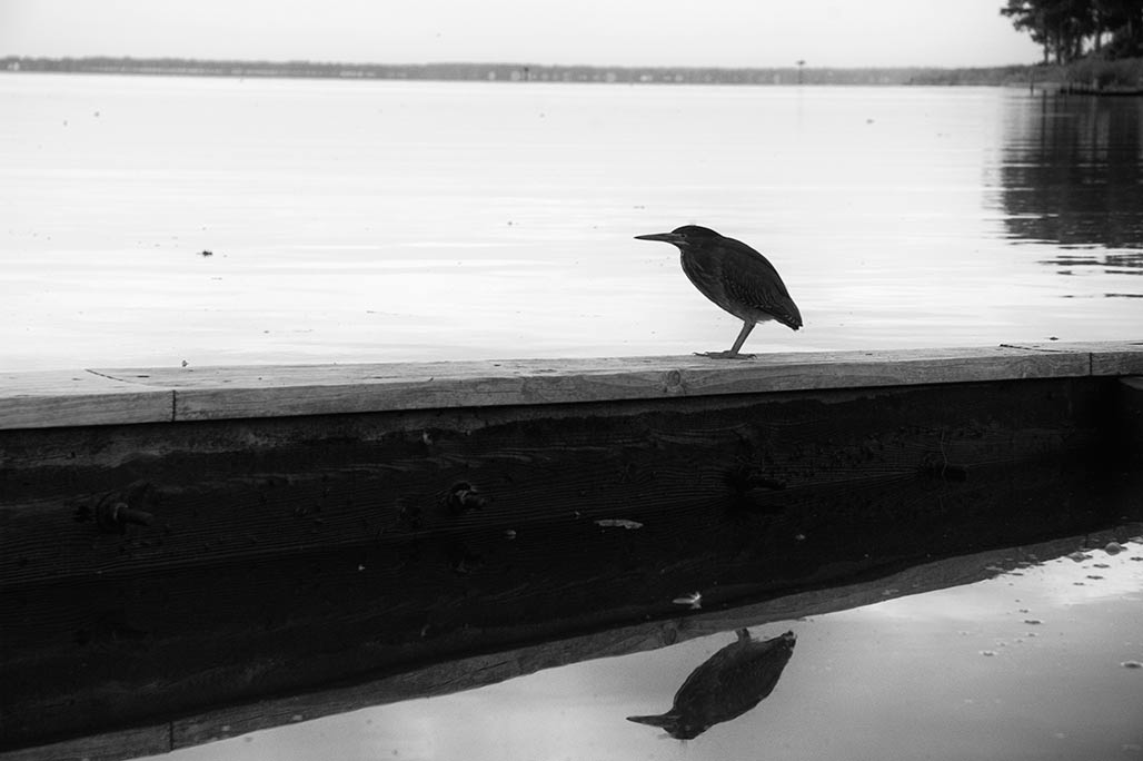
Railroads run through our town. They define, divide and interrupt. This railroad got its land back in the 1800’s. In two centuries, names have changed, neighborhoods have grown, rail traffic has dropped. The real estate surrounding the rails is a no man’s land. Railroad property. Trash all over? Not your concern. Do they pay taxes? Do they say goodmorning? Are they a good neighbor? Not your concern.
The desirability of a 3D tool so non-architects can understand the implications of plans, orthographic drawings, has long been discussed in local planning circles.The tools exist. SketchUp is such a tool. The building could be built with digits. Visualized in a way the layman can understand. Lets see what proposed development looks like in context before the bricks get mortared one on top the other.How will a neighborhood with a 35′ vertical envelope fare when more massive buildings come on the scene? Lets see it before we build it. Lets try visually informed planning.
KING HENRY V: Once more unto the breach, dear friends, once more; Or close the wall up with our English dead. In peace there’s nothing so becomes a man As modest stillness and humility:
Walking south on Old Harbor Road, with one foot you’re standing in Massachusetts, next step lands you in Rhode Island. I’ve always been curious about this structure. Who built it? Why?
What do we want? Street trees. How do we get there? We plant street trees. Are we there yet? We inventory the street trees, reassess and plant as needed.