Franklin Hill

preserved slope

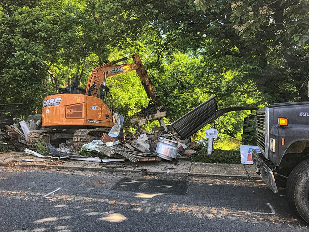
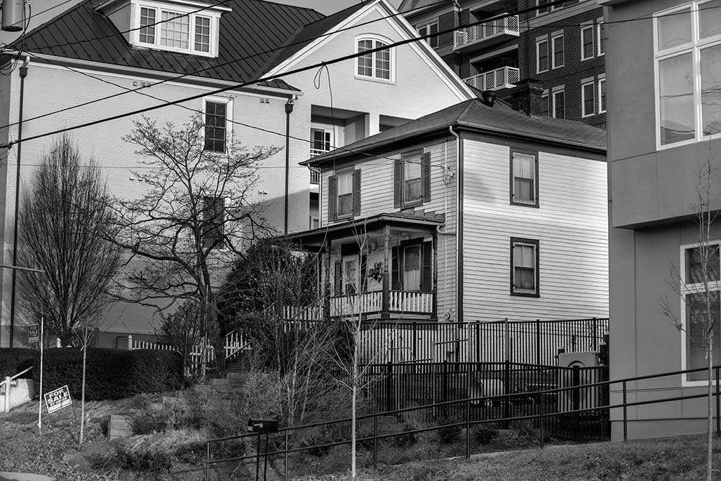
Tuesday April 9 at 6:00 PM the Albemarle Planning Commission will hear a request to remove protective zoning from a forested hillside in the east Belmont Carlton neighborhood. The request comes on behalf of Elemental Ecotech, the owner of the property, who see the island of green at the perimeter of their recently denuded site as an impediment to their development efforts.
The applicant has an approved site plan for the bare dirt area showing 3.32 acres of impervious surface (12 buildings + sidewalks, roads and parking). The trees at the perimeter of the lot have survived because they are on hillsides protected by the Albemarle County’s preserved slopes overlay (Albemarle County Code 30.7)

2016 aerial, before site grading began

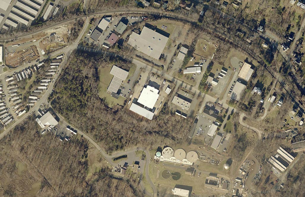
County staff have previously determined that the property can be developed with the protective zoning overlay in place, but staff is now recommending the approval of the zoning change.
Why do we care?
Development will occur on this site, but it must be done as thoughtfully as possible.
Ask Albemarle to be sensitive to global warming, stormwater runoff, natural habitat and native flora and fauna.
Ask Albemarle to preserve our cultural and natural assets, those things we love about our home, Piedmont Virginia.

parks and greenways
Southern and Western Urban Neighborhoods Master Plan. The arrow points towards a crescent shape, next to the purple, which contains the preserved steep slope.

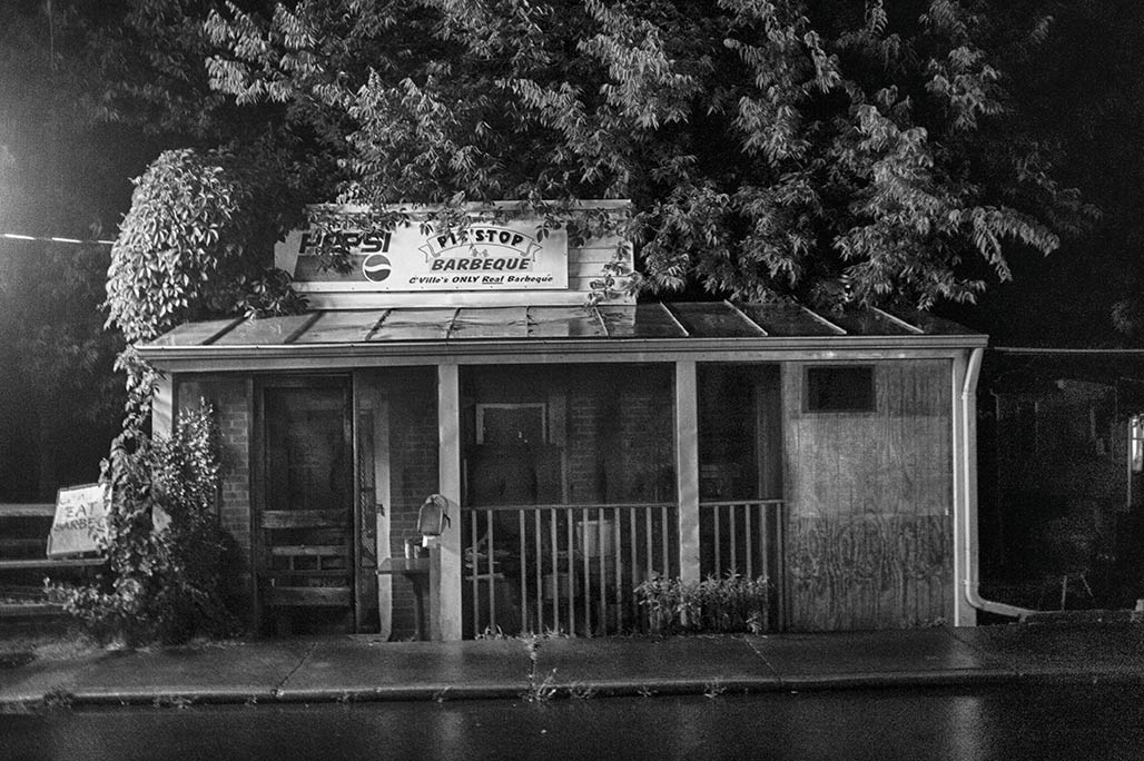
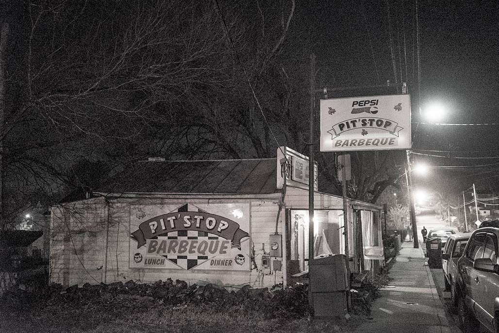
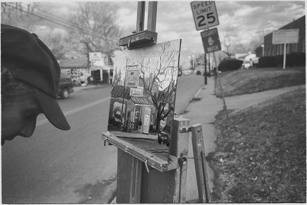
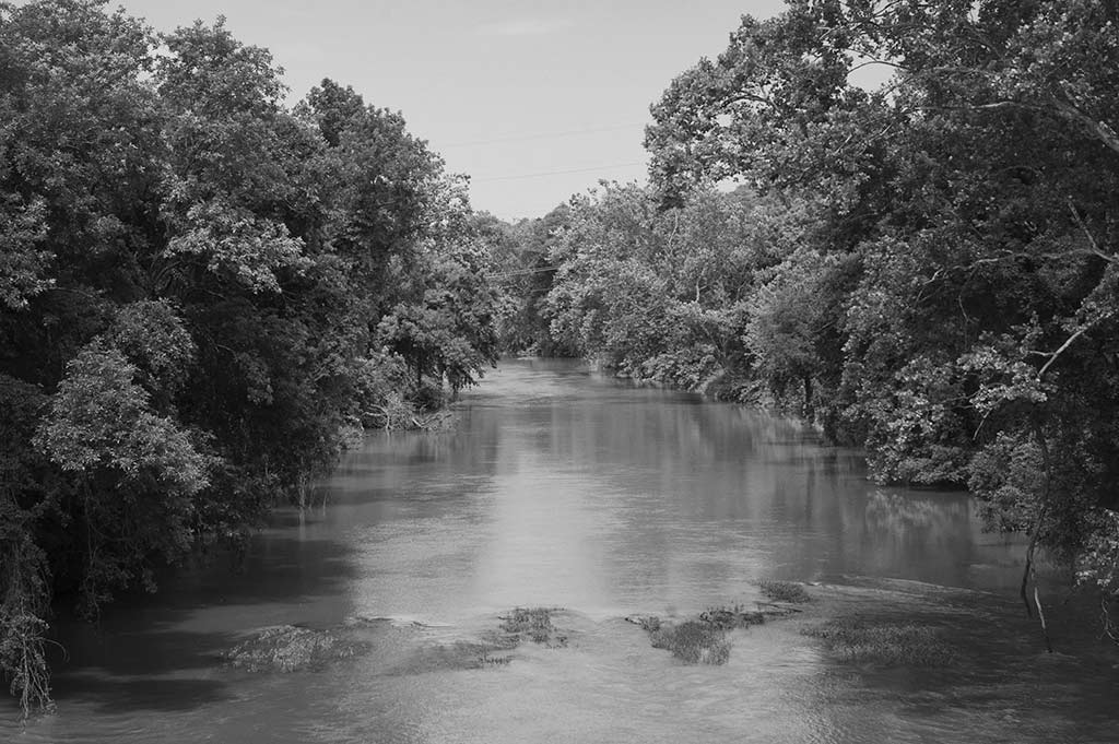
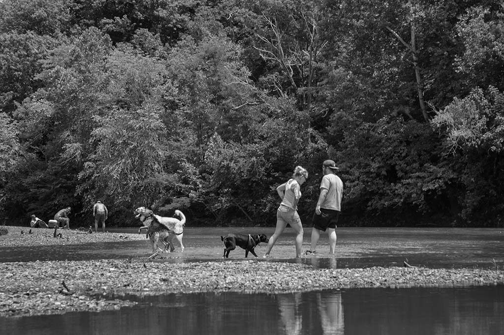
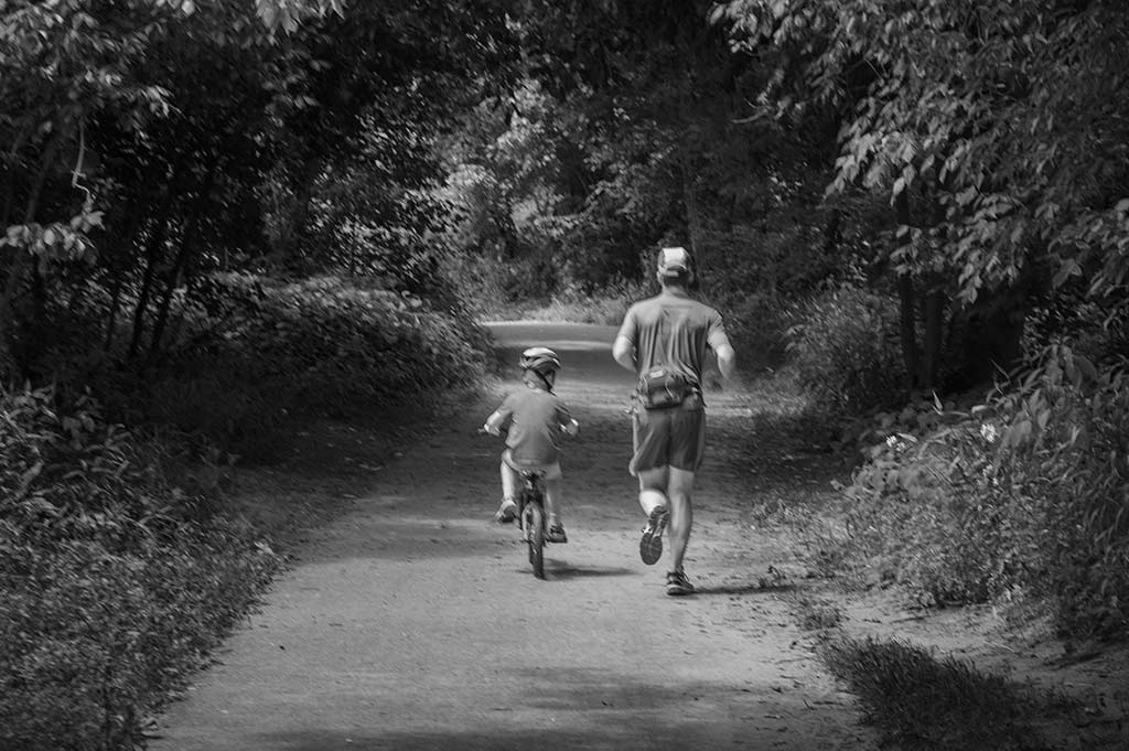
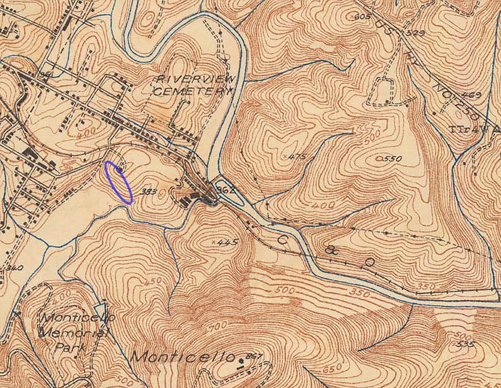
This part of Central Virginia is magical. The forested hillside in question is less than a mile from Monticello, less than a mile from the point where the Rivanna River flows through the Southwest Mountains.
There is much to be gained by smart, thoughtful considerate guidance provided to future development by Albemarle County officials. Careful planning here represents a further step toward regional cooperation, everybody wins. (Franklin Street is the boundary between City and County).

the hill has existed for millenia

Please!
Consider writing the Albemarle County Planning Commission and Board of Supervisors:
PlanningCommission@albemarle.org
bos@albemarle.org
Ask them:

  • to leave the hillside and trees alone.
  • to be careful when developing next to the flood plain, next to an impaired stream
  • to be respectful of the quality of life for neighbors
  • don’t want this

    Consider attending and speaking at the public hearing, County Office Building, 401 McIntire Rd, Charlottesville, VA 22902. 6:00PM April 9.
    p.s. This is the 2nd time there has been a request to remove slopes on this parcel.
    The first time was in 2015. http://woolenmillsneighborhood.org/blog/wmna-board-franklin-hill-letter/

    Non-conforming use

    South elevation
    1307 East Market. The City’s website gives the date of this building’s construction as 1920.
    West elevation
    It has been there for many years.
    Once upon a time it was open for breakfast. For the past 15 years Jinx Kern opened it for lunch.
    Once upon a time it was open for breakfast. For the past 15 years Jinx Kern opened it for lunch.
    TV Corner
    It was a storied place, a repository of 20th Century cultural ephemera and excellent barbeque.
    gone
    The building was knocked down in May. (photo by neighbor Greg Gelburd)

    Five men

    MCWWTP
    Coleman, Davis, Michie, Scribner and Weinberg. Who were these five men? 55 years ago Council didn’t entertain “matters from the public” or make announcements about Women’s Equality Day. This Monday in January ’58 Councilors were considering legislation that would open the gates to a flood of Federal money that would wash away one neighborhood and blanket a second with stank.
    How were those decisions made?
    Historians- write our small town’s zoning history!

    RESOLVED THAT JAMES E BOWEN JR., CITY MANAGER OF THE CITY OF CHARLOTTESVILLE VIRGINIA BE AND HE IS HEREBY AUTHORIZED AND DIRECTED TO EXECUTE ON BEHALF OF THE CITY OF CHARLOTTESVILLE SAID APPLICATION FOR FEDERAL GRANT FOR SEWAGE TREATMENT WORKS
    UNDER U. S. C. 466 ET SEQ. IT BEING THE AGREEMENT OF THE CITY OF CHARLOTTESVILLE THAT IF A FEDERAL GRANT FOR THE PROJECT IS MADE PURSUANT TO THE FEDERAL WATER POLLUTION CONTROL ACT (33 U. S. C. 466 ET SEQ.), THE CITY OF CHARLOTTESVILLE WILL PAY THE REMAINING COST OF THE APPROVED PROJECT; AND THAT THE CITY OF CHARLOTTESVILLE WILL PROVIDE PROPER AND EFFICIENT OPERATION AND MAINTENANCE OF THE APPROVED PROJECT AFTER COMPLETION OF CONSTRUCTION THEREOF.
    MR. DAVID J. WOOD JR. ADDRESSED THE COUNCIL AND PRESENTED THE WORKABLE PROGRAM FOR URBAN RENEWAL AS PREPARED BY HARLAND BARTHOLOMEW AND ASSOCIATES. ON MOTION BY MR. WEINBERG, SECONDED BY MR. MICHIE, THE MAYOR WAS AUTHORIZED TO EXECUTE THE LETTER OF TRANSMITTAL TO THE HOUSING AND HOME FINANCE AGENCY.
    –Charlottesville City Council Minutes, January 6, 1958

    Rivanna River Planning

    upstream from Free Bridge
    Albemarle County on the right, Charlottesville City on the left

    canoe from above
    A decade ago it was unusual to see people recreating on the Rivanna. I saw ten boats yesterday.

    riverbend
    People in the river

    runner biker
    People next to the river.

    scout stairs
    There are two formal access points to the river along the shared 3.7 mile County City waterfront. The stairway at Riverview Park was built by Eagle Scout Chris Keeling

    July 1 the City Council and the County Board of Supervisors meet. Item F on their agenda:

    F. Rivanna River Planning
    Historically, Charlottesville’s and Albemarle County’s economies grew in relation to the major roads and the James and Rivanna rivers. The smaller Rivanna River had manufacturing mills and a system of dams, locks, and canals for navigation. Nine miles of the Rivanna River and its south fork between the South Fork Rivanna Reservoir and Woolen Mills are designated as part of the state Scenic River system. Both Charlottesville and Albemarle County are responsible for regulating land use along the Rivanna, and both governments are now recognizing the growth potential of the river as a shared asset. Both planning commissions have advocated for, “creation of a plan that incorporates a unified vision for land uses adjacent to the Rivanna River which supports the river corridor as a destination; and that develops a shared vision for parks, trails, and recreational opportunities associated with the river.” There is potential for valuable synergy in the City and the County further developing the riverfront as a place to play and live.
    Albemarle’s draft comprehensive plan states, “The City and County will create a unified vision for land uses adjacent to the Rivanna River that supports the river corridor as a destination while ensuring the protection and improvement of the river’s water quality.” The City has a River Initiative and River Corridor Plan which notes the need for coordinated planning, and the City’s comprehensive plan states, “Work with regional partners to draft and implement a plan that better utilizes and protects the Rivanna River as an environmental, recreational and economic amenity.” By working together, the Board and Council can help to make the riverfront more beautiful and valuable.

    http://billemory.com/blog/2013/01/16/watershed/
    http://billemory.com/blog/2012/07/26/rivanna-river/
    http://billemory.com/blog/2010/10/18/clean-water-2/

    (letter from the Woolen Mills Neighborhood Association Board to City Council)

    October 3, 2013
    Re: Rivanna River Corridor Plan
    Dear Charlottesville City Council,
    Congratulations on your recent adoption of the update to the City’s Comprehensive Plan. The
    newly updated Plan, like the versions of the Comprehensive Plan that preceded it, prioritizes
    restoring the health of the City’s most under-appreciated asset: the Rivanna River. In light of the
    clear, urgent interest throughout the community on planning for appropriate land uses along the
    Rivanna corridor, we are writing to urge you to take the necessary first steps now to ensure that
    meaningful and productive planning can occur along the City’s portion of this invaluable natural
    resource.
    Goal one of the new Comprehensive Plan’s Environment chapter reads:
    Value the Rivanna River as a major asset in the life of our City and region and restore it
    to a healthy condition within our ecosystem in order to improve habitat, watershed health
    and water quality.

    Achieving this important goal will remain elusive unless and until our community develops a
    unified plan for land uses, green infrastructure projects, and best management practices along the
    Rivanna corridor. This is because haphazard review and approval of individual development
    proposals as they are submitted precludes any real consideration of how each proposal fits into a
    broader vision for the river and its restoration. A Rivanna corridor plan has been contemplated
    at least as far back as 1998, when the very first recommendation of the Rivanna River Basin
    Roundtable’s State of the Basin report was to “[d]evelop a Corridor Plan to guide decision
    making related to preservation and use of the Rivanna River.”
    Due to the absence of focused action from our elected officials in the City and County, the
    pressure for such a plan is bubbling up in other places, as seen in the UVA Architecture School’s
    recent Rivanna River Vortex project, as well as the joint discussions between the Charlottesville
    and Albemarle planning commissions that were conducted as part of the TJPDC’s Livable
    Communities Planning Project, and which culminated in a call for the “[c]reation of a plan that
    incorporates a unified vision for land uses adjacent to the Rivanna River that support the river
    corridor as a destination; and that develops a shared vision for parks, trails, and recreational
    opportunities associated with the river.”
    The need for a Rivanna corridor plan is stronger than ever. Impairments to the Rivanna remain a
    significant environmental and health problem for our community, and development pressures
    along the river are only bound to increase as the economy gradually improves. To have any
    realistic chance of achieving the Comprehensive Plan’s goals of restoring a major asset of the
    City to a healthy condition, our community must get started on a Rivanna corridor plan as soon
    as possible.
    As the critical first step in developing a meaningful plan, we request that the City issue a
    request for proposals to map and inventory the natural, cultural and built resources
    located along the 3.7 miles of the City’s waterfront.
    What do we stand to lose if we do not plan? The Police suggest that homeowners inventory and
    photograph their valuables; we suggest the same approach be taken with the Rivanna corridor as
    it passes through the City.

    quiet enjoyment

    131003 Our Town

    People have been living in this neighborhood, this place, for thousands of years.
    We live in the bend of a state scenic River, on rich, fertile ground, Davidson Loam. Seated here we are eight tenths of a mile from the front porch of Monticello, a mile and 2/10ths from the downtown mall. Seated here we are home, in the center of our universe.
    But often we feel, as a neighborhood, that we are in the center of the crosshairs.
    Over the years our discussions with the Council have focused on a handful of issues. We’ve asked for reductions in traffic speed and volume, we’ve asked for a reduction of the sewage smell. We’ve asked for pedestrian safety improvements and we have asked that planning and zoning be used to conserve our cultural and natural resources as well as our quality of life.
    We have partnered with government entities in the creation of a national historic district, in the design of a sewage pumping station and in the care of our City park. We plant streetscape trees. We pick up trash, we attend City meetings. We have accomplished much but still, we feel threatened.
    We are reassured by statements from Mayor Huja and Vice Mayor Szakos in opposition to a bridge through the Woolen Mills. We thank Dave Norris for his enduring stand against the County using City neighborhoods as an interchange.
    Diversity is a strength to our way of thinking. We are all kinds of people in this neighborhood. But our mixed status, our socio-economic profile, seems to attract locally unwanted landuses.
    Please work with us in our effort to secure the quiet enjoyment of our own homes and the health, safety and welfare of our neighborhood. Together we can make it so.