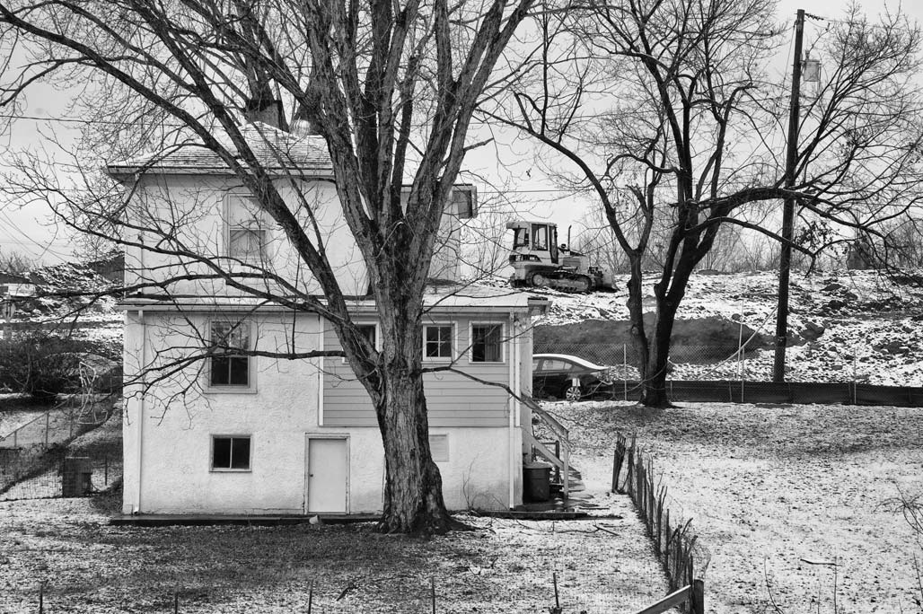
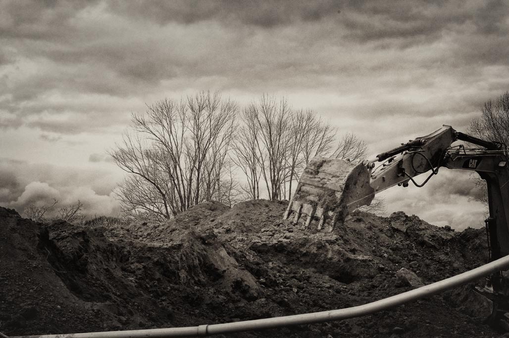
Site work, silver maple, bulldoozer
Category: development
City Walk
US Department of Housing and Urban Development City Walk Apartments Project No. 051-35616. Owner Coal Tower Associates. Architect: Davis Architects. Contractor: Summit Contracting Group, Inc.
Carlton Avenue
Feels like the real estate machine is heating up in Charlottesville. Buildings are disappearing.
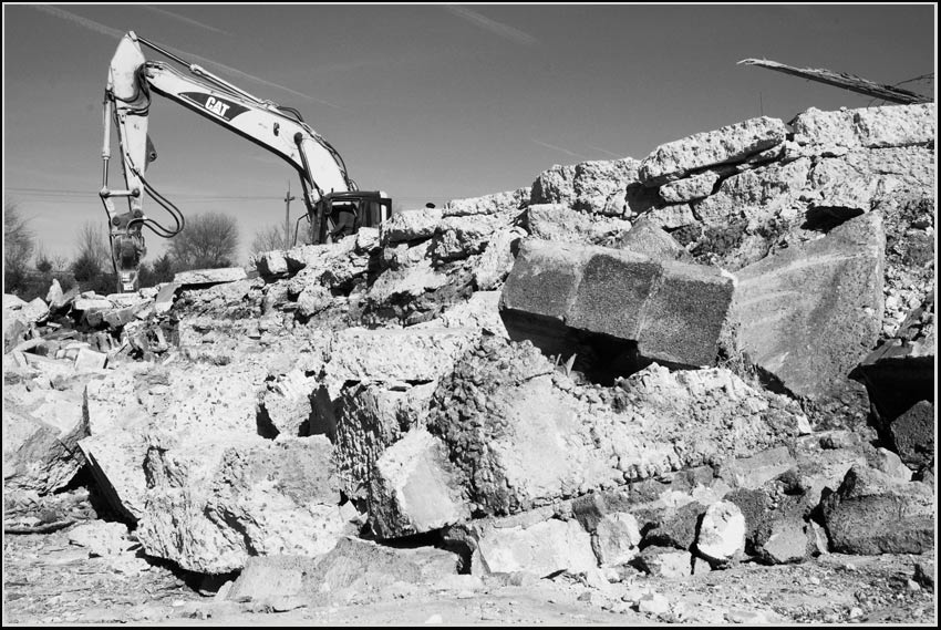
redevelopment
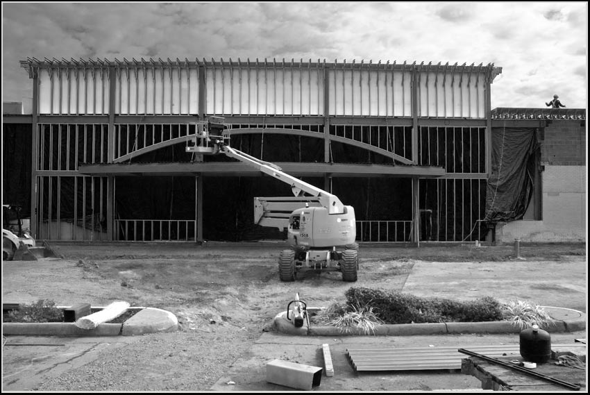
Charlottesville Albemarle is no stranger to greenfield development. So its heartening to encounter redevelopment. Photo above, the ghost-box of Circuit City being remade into a grocery store. Photo below, the H.T. Ferron ready-mix plant site being reworked, rumor is to an adult day care center.
new asphalt

I think there used to be a median with trees on route 29.
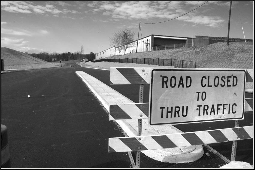
This new asphalt, District Avenue, runs northwest off Rt. 29 to two-hundred and fifty “luxury apartments” under construction, now leasing.
…living at its finest located in Charlottesville, Virginia, just steps away from The Shops at Stonefield – the new gathering place for Charlottesville residents. We’re close to everything and a haven from it all.–Stonefield Commons
Not sure of the name of this one. McIntire Road Extended? Meadowcreek Parkway? On the east edge of McIntire Park.
DMZ

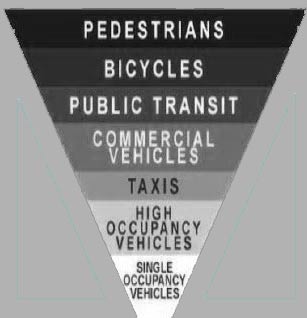
Walking in the County southeast past the shops at Stonefield. Enjoying the new sidewalk and trees. Headed home. Arriving at the “Main Street” of the County, US Route 29, the neighborhood model takes on a new light. How is the pedestrian meant to cross into Charlottesville? Carefully. Not sure exactly how many lanes there are, standing on one side they are a challenge to count. Big asphalt. Twelve lanes?

There are lots of hashmarks scattered about the intersection, providing guidance to motorists about how to negotiate the DMZ. I didn’t see a crosswalk.
It seems that “transit” in the county means four wheels and a motor. If you have the misfortune to engage in bipedal locomotion, be fleet of foot. What momma said. Look both ways before crossing this road.
In an alternate reality.
scary
My fears regarding the future of neighborhoods? Cut them open to get to the golden eggs, trade them for a handful of magic beans, shrink National Historic Districts and ADC’s to the size of handkerchiefs, widen roads, install sewage pipes in the air, cut down the trees, fire engines everywhere. Anything is possible.
Charlottesville Tomorrow has the story:
Marmota monax

adolescent whistle pig
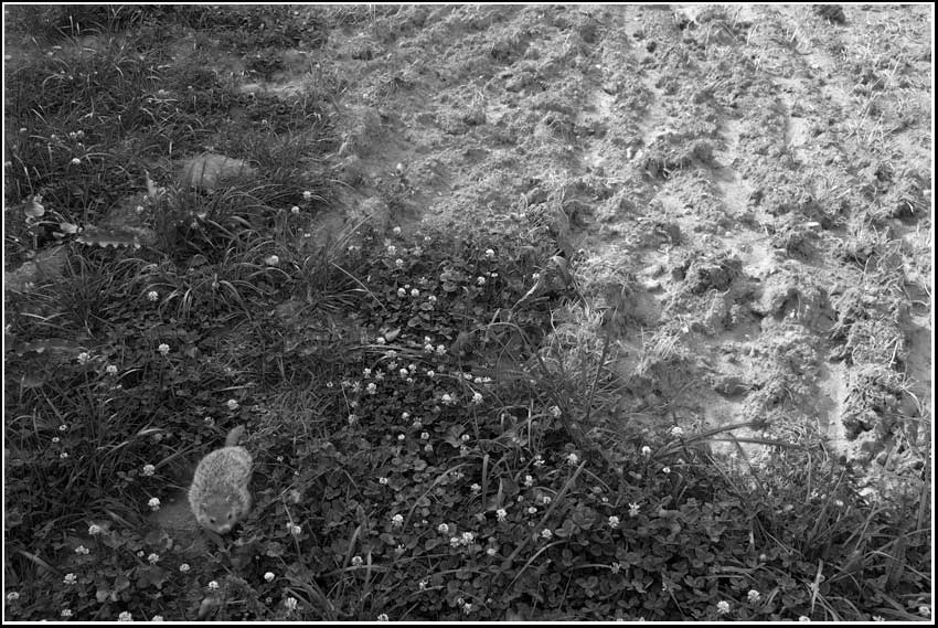
lost his/her home and family. Small comfort that it was to density and not the Rodenator
parking

Div’s early interest in architecture was expressed in an attempt to park the cars within the confines of the building site.
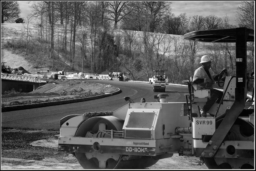
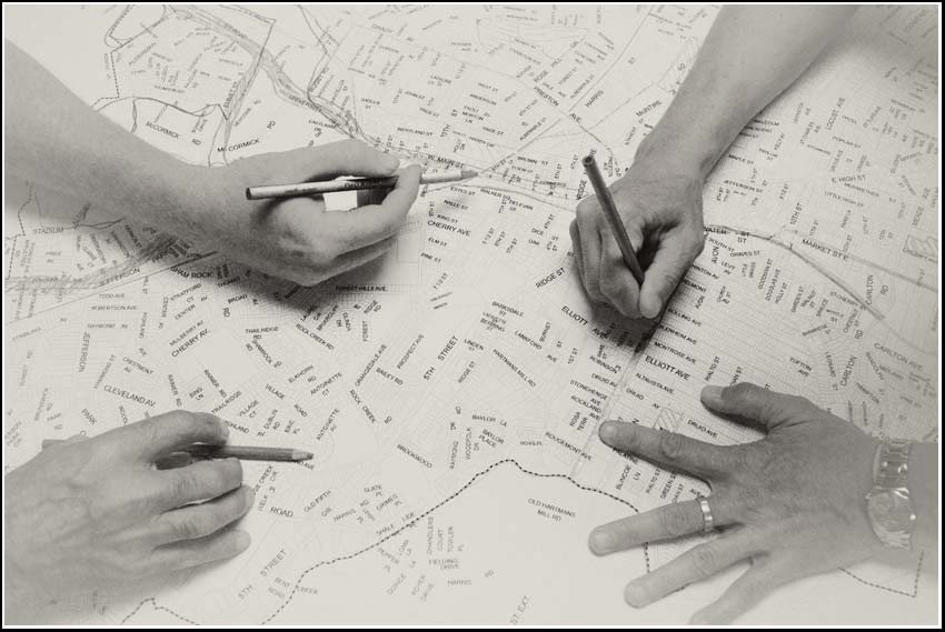
LRTP
The Cville Bike mApp project is a regional bike mapping project developed by the Charlottesville-Albemarle Metropolitan Planning Organization, in partnership with BikeCharlottesville, the City of Charlottesville, Albemarle County, and the University of Virginia. It will allow transportation planners to better understand how cyclists use the current transportation system. Cyclists will use the App to map their ride and then upload the data. Staff will use the uploaded data for mapping to determine, key cycling corridors, barriers and routes.–TJPDC
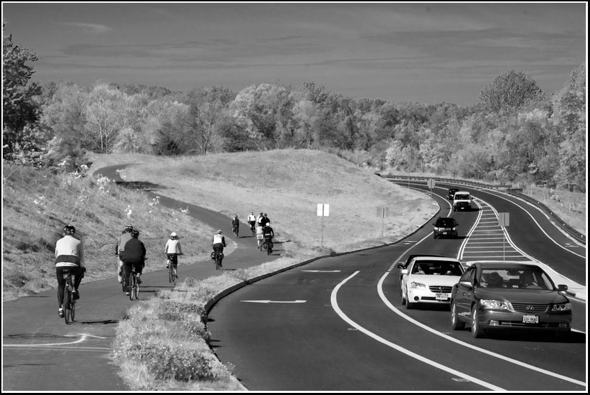
(kick-off ride for the mApp. Local cyclists parallel the John Warner Parkway.)