City Walk, stubbed out.
Category: development
UV degradation
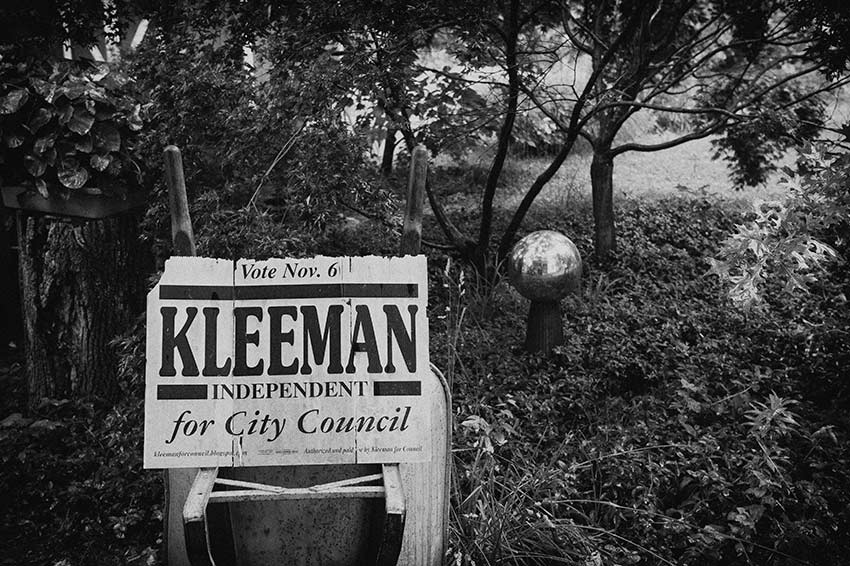
After six years exposure to the Virginia climate this Kleeman sign suffered structural failure. A physical remnant of the 2007 Council election.
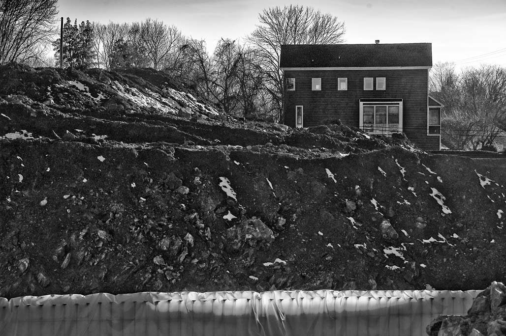
A physical result of several elections, construction of a road through a park.
defenestration
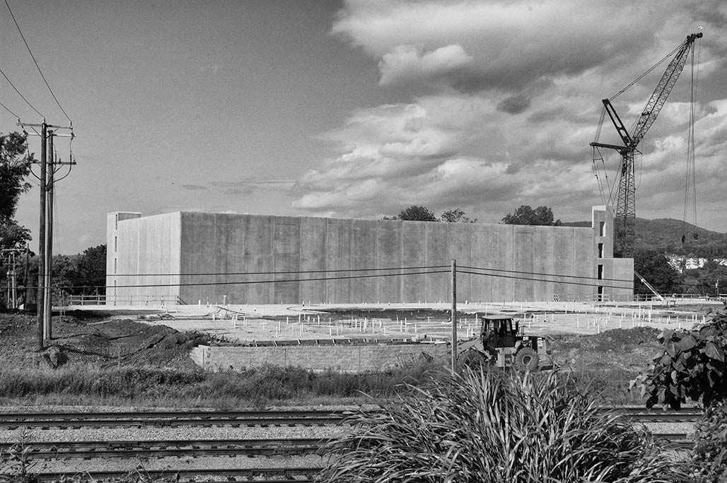
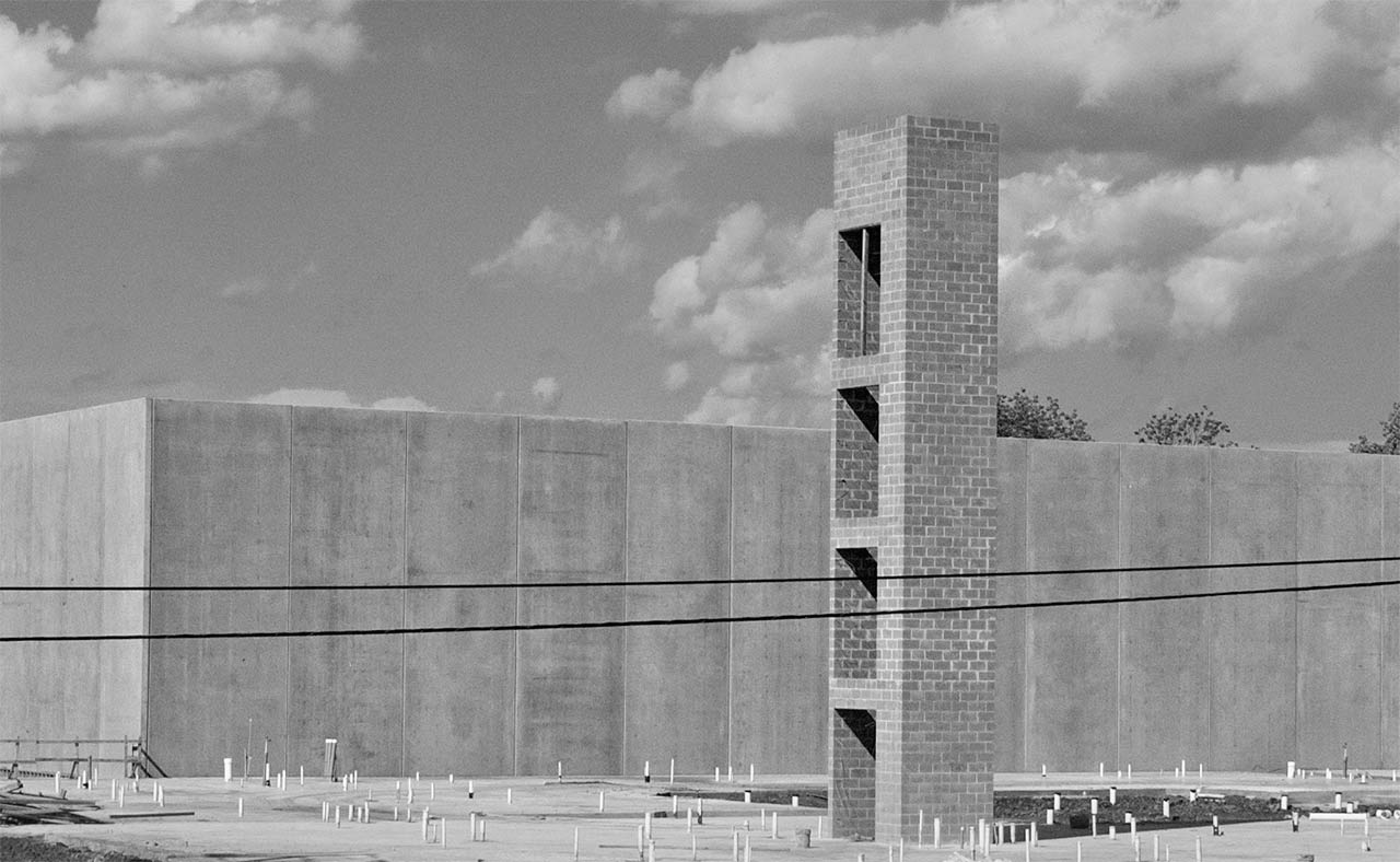
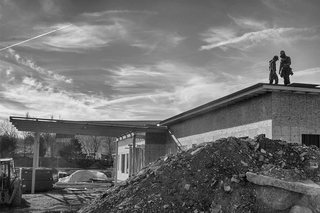
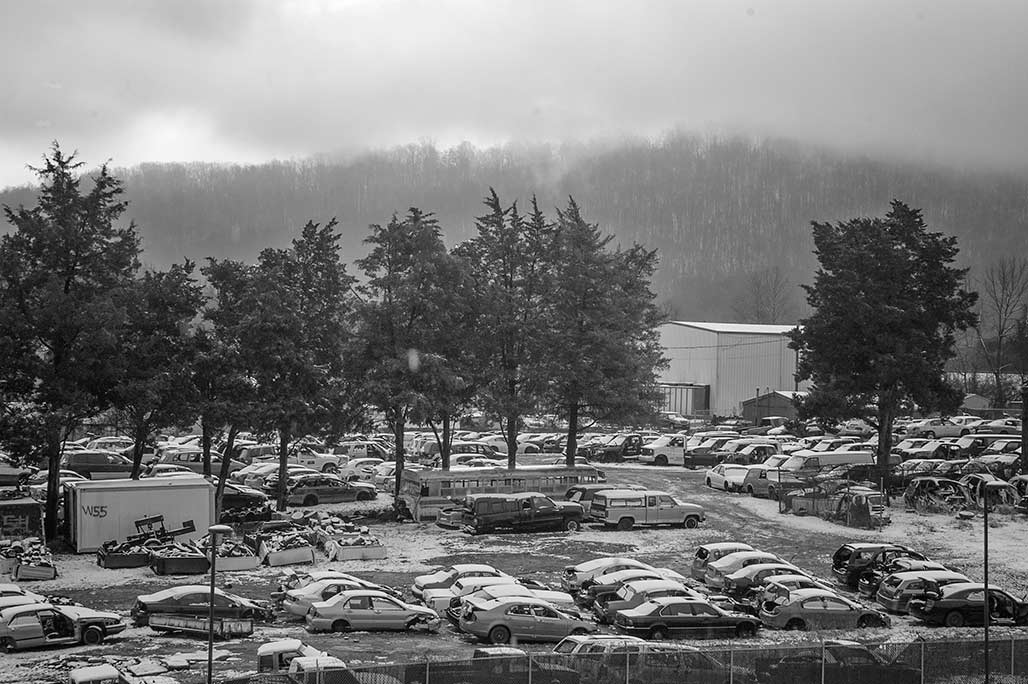
From the south side of the CSX tracks the new parking garage at City Walk looks like a data center for the cloud, no windows. The absolute lack of fenestration will be appreciated by residents of building 4, beginning to rise out of the ground south of the garage. The 332,728 square foot building 4 is slated to contain 230 “units”.
closing in
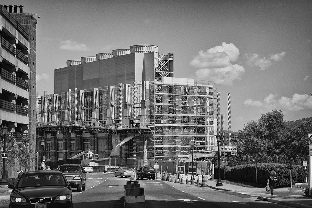
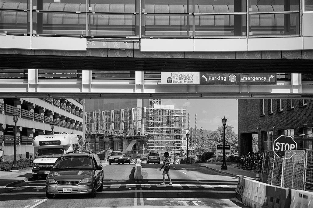
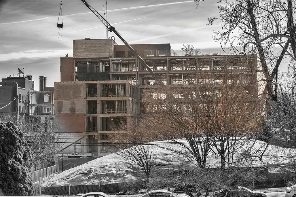
I briefly worked at UVA hospital. I loved the view. After a 14 hour shift, what was left of me would emerge onto Lee Street. I could look down Lee Street, 120 degrees SE and see Monticello Mountain 3 miles away.
Psalm 121. Levavi oculos. I will lift up mine eyes unto the hills; from whence cometh my help? 2 My help cometh even from the LORD, who hath made heaven and earth.
Now, looking down Lee is the 36.5 million dollar chiller approved by UVA’s Board of Visitors three years ago, currently under construction.
This is a work in progress. Once it is all finished the landscape and architecture magicians on UVA’s staff will possibly render it beautiful.
mice and men
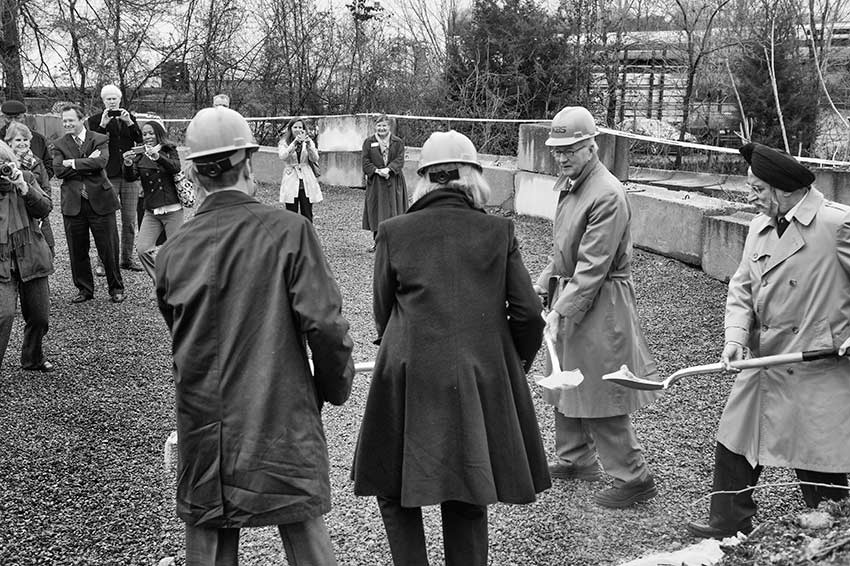
Tonight, last thing on the agenda, Council considers housing for the last people on anyone’s mind.
A developer from Richmond has applied for a special use permit to locate 102 apartments on the eastern and western edges of the former H.T.Ferron ready mix plant on Carlton Avenue.
Tonight, Council will hold a public hearing and discuss the proposed 2013 Comprehensive plan. These plans make a difference. With the new
millennium came a comp plan came high density zoning around UVA and along certain corridors in CHO (Main Street) where services are available.
Was there a memo, was there planning that called for density on the Carlton Avenue corridor? Is Carlton Avenue a corridor. Is it a catchbasin?
mice and men
All manner of development activity afoot in Charlottesville. One of the Planning Commissioners commented on it last night, I didn’t write the exact number down, but there are something like a thousand “dwelling units” fixing to appear on the real estate market. Another Planning Commissioner asked how we were coming on meeting the proposed Comprehensive Plan goal of having 15% of that new housing affordable. There wasn’t an answer readily available to that question. Most of the housing being built near UVA is constructed to do liposuction on the students’ parents wallets. No one ever builds affordable housing for UVA workers near the U. There is some affordable housing coming on line, JABA’s Timberlake Place in the Woolen Mills and Habitat’s Sunrise Park, 1/4 mile south of Timberlake, in east Belmont-Carlton. (so roughly 5% of the 1000 units are affordable)
Not all the development is residential. CFA remodeling is rocking along at the former Martha Jefferson.
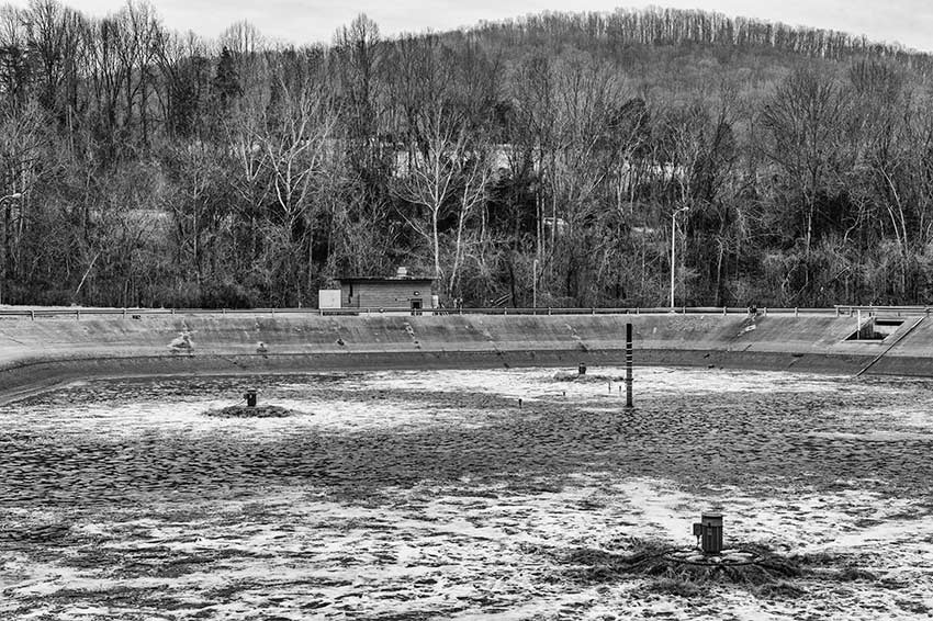
Not all the development is roofs for sleeping/working people. Over on the sewer side of town Big doings. RWSA has been successfully addressing multiple issues. They have increased Phosphorous and Nitrogen removal from their effluent, an excellent development for the Rivanna River, the James and the Chesapeake Bay. Additionally, they’ve constructed a wetland, they are fixing to unleash a tunnel boring machine and they have made major strides in odor control, keeping the stink on site.
In every direction there are people planning…
…tackling long range issues. How do we reconnect the people to the river. How do we make the street a place that’s good for more than squashing possums and exercising fire engines? How do we restore streets to their commons status?
How do we incorporate green infrastructure and low impact development practices into our cheat the cookie building culture?
How do we move to excellent urban planning?
big crane
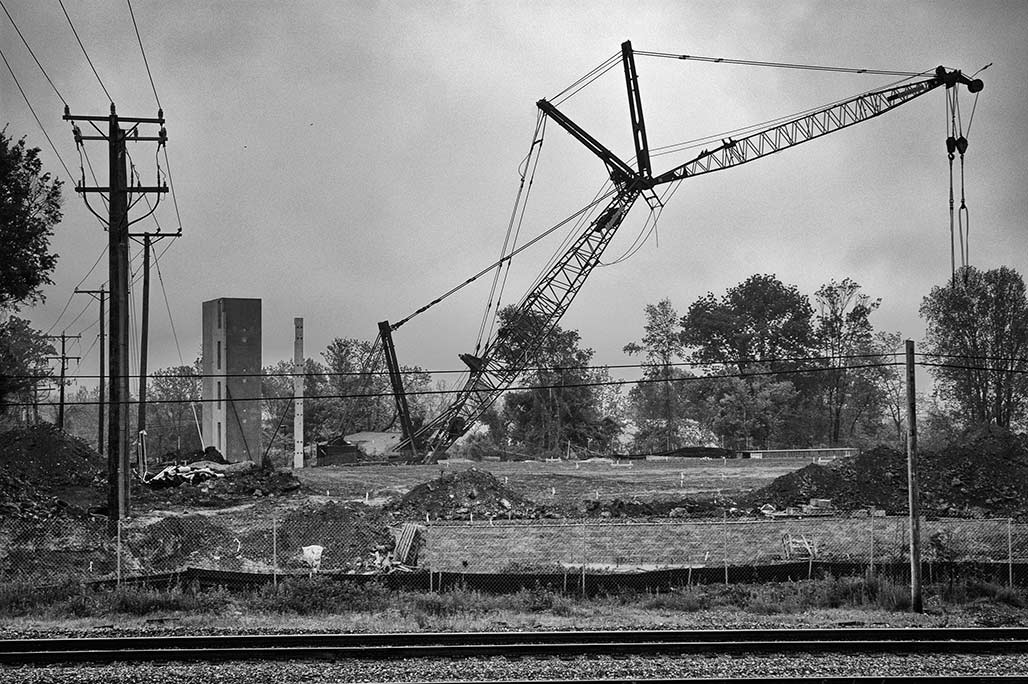
Precast stair/elevator shaft on the left lifted up by crane. City Walk site.
the interchange piece
This from the summer of 2008
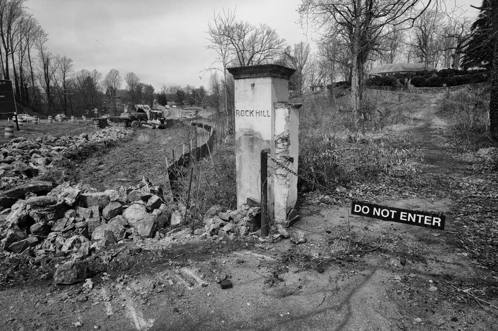
More recently, work has begun on the interchange part of the road through the park.
![]()
Clearing proceeds on the piece of land between Hillcrest and McIntire Road
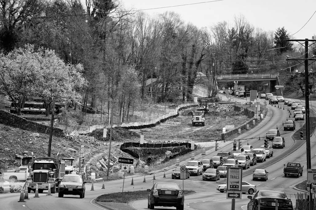
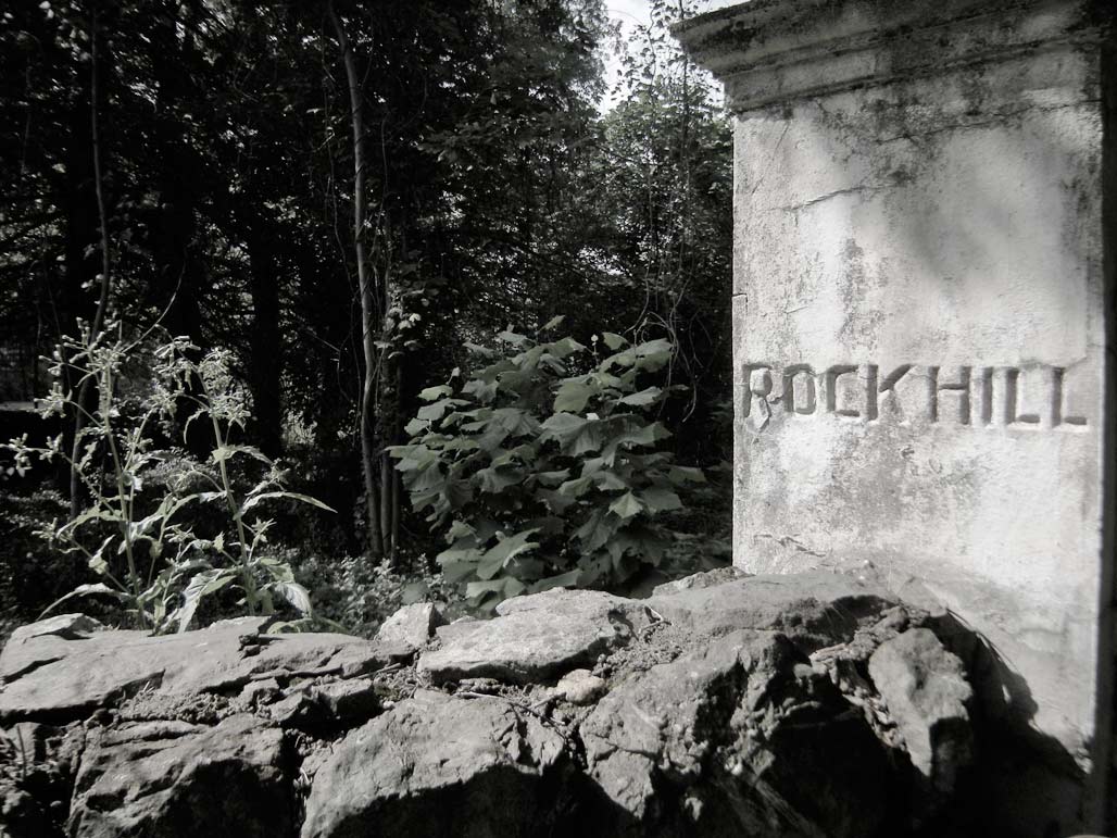
Rock Hill gardens are on the left.
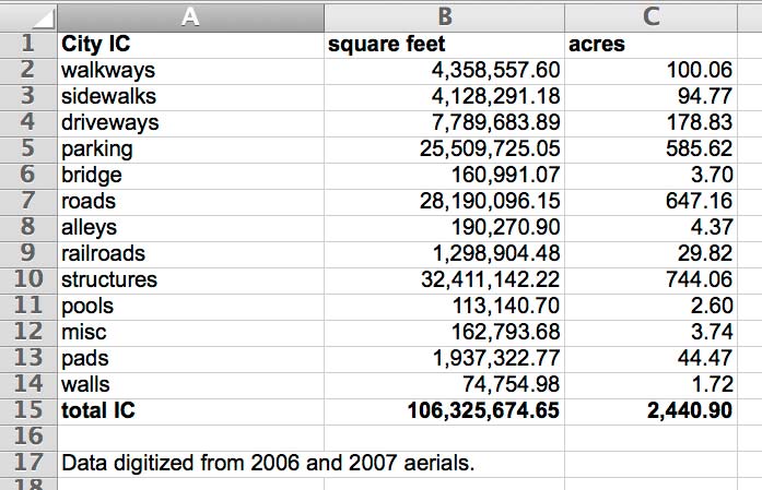
IC= impervious cover
south view (adjacency)
Intersection of R-2 and Downtown Extended.
adjacent — adj
1. being near or close, esp having a common boundary; adjoining; contiguous–dictionary.com
east view
View east from Jefferson School over the Harland Bartholemew renewal zone. Does anyone have a 1950’s picture from this angle?