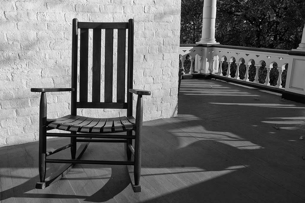
day of rest
photography from the Chesapeake Bay watershed by Bill Emory
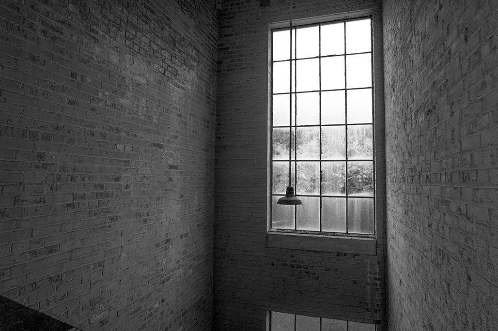
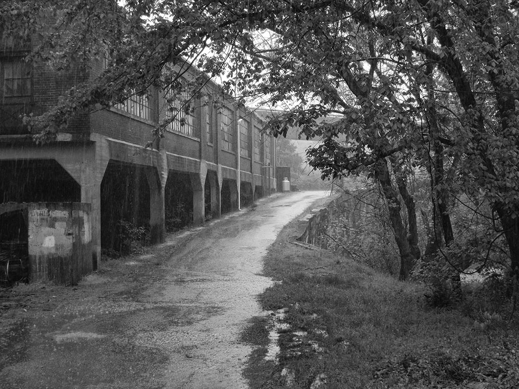
Window in a stairwell of the Charlottesville Woolen Mills 4 storey building
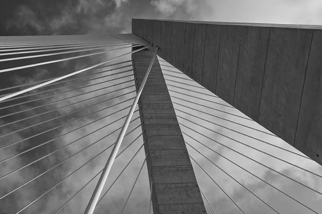
Michael J Abrahams PE, Chief Gesigner of the Arthur Ravenel Jr. Bridge
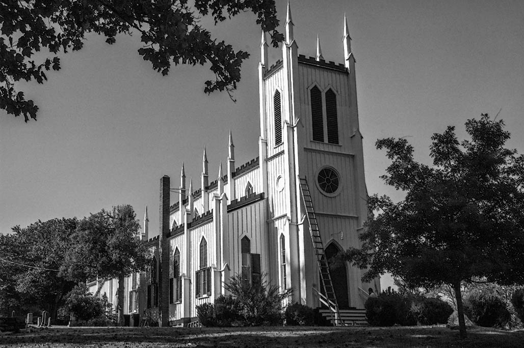
Waddell Memorial Presbyterian Church, 7133 Rapidan Road, Rapidan, Virginia
Carpenter Gothic, built in 1874, in the Rapidan National Historic District
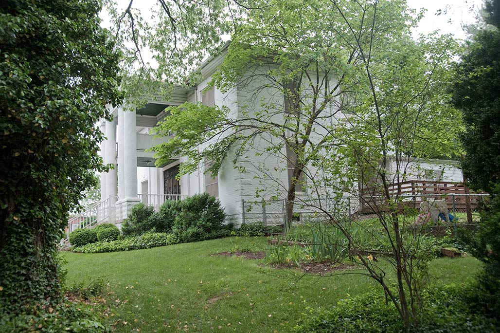
“…built as an addition to a small mid-nineteenth century frame house on Riverdale Drive
in Charlottesville for Minnie M. Barnes in 1912. The addition features rock-faced concrete
block quoins, a concrete block foundation and a tetrastyle portico without
capitals or bases.”- K. Edward Lay
For over a century this house sat on a bluff of the Rivanna, facing east toward
the Free Bridge. It has been torn down in the last few days. What next for this
lot at the eastern entrance of Charlottesville? A drug store?
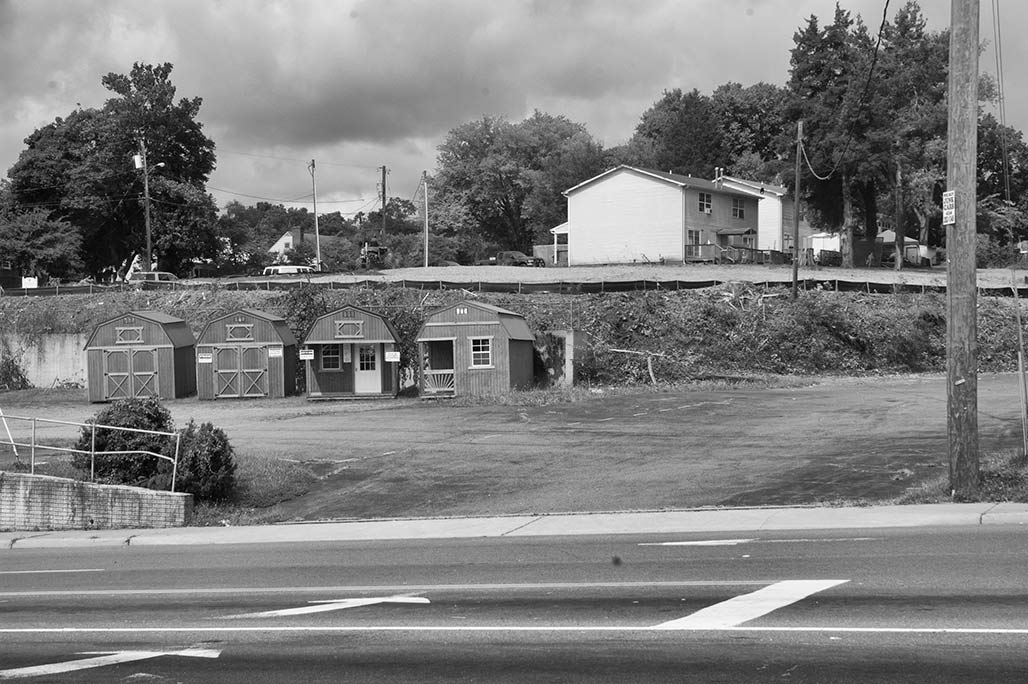
Entrance corridor. Welcome to beautiful Charlottesville. This the former Riverdale site.
Cleared.
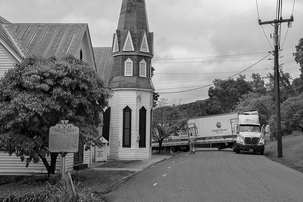
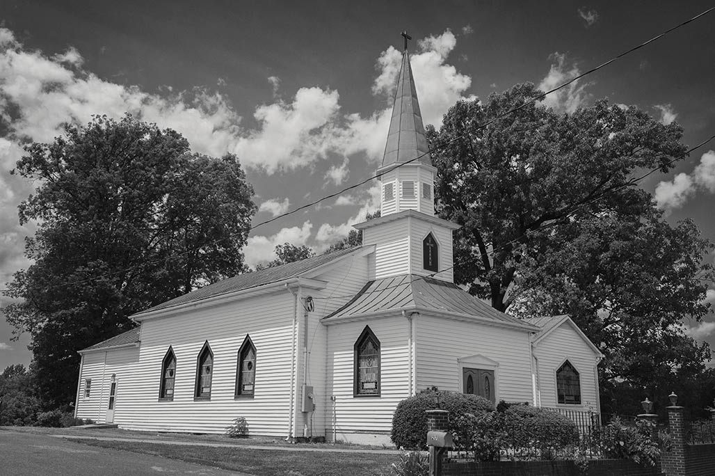
 Posted on Categories architecture, artifact, neighborhood, weather
framework street?
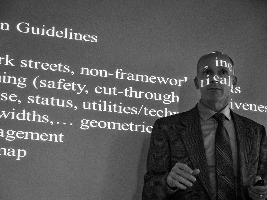
I wish I was going to Buffalo next week for CNU 22 , confab of new urbanists. My closest approach
was sitting in a room with Ian Lockwood this past week.
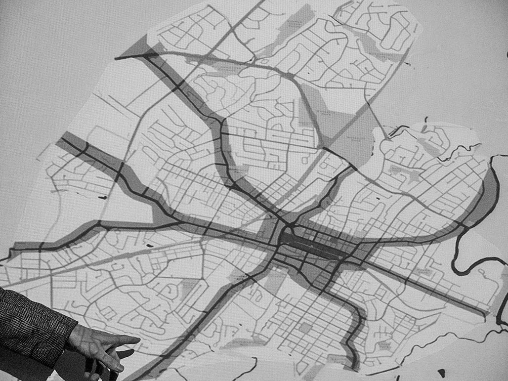
Ian shared his transportation philosophy, spoke earnestly about connectivity, and showed a map
that alternately intrigues and terrifies. What exactly is a framework street? Reserving judgement until it is
possible to learn more. Does the finish detail of the Duke of Gloucester Street qualify for a modern framework street?
Some new wine doesn’t belong in the old bottle. day of rest
new normal
The CityWalk apartment development is open for business. Reviews to date are mixed.
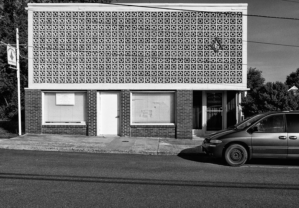
While apartments are being leased and inhabited, construction elsewhere on the site is ongoing, completion scheduled for November.Jefferson Lodge #20
1006 Forest Street. When I was growing up these masonry units were the height of style.