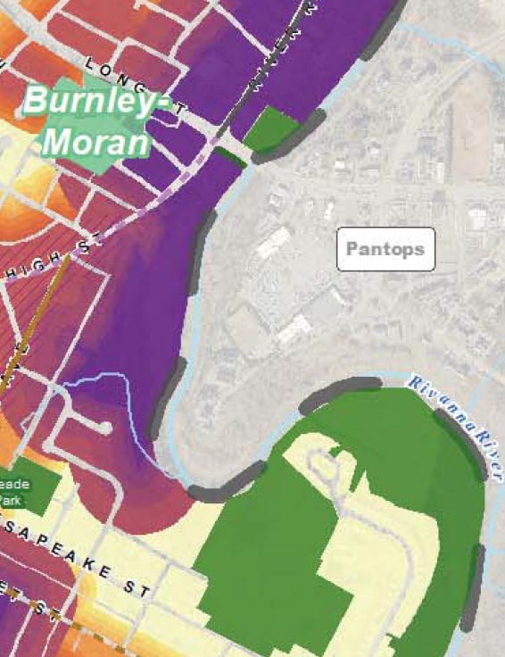
High Intensity
These (the purple shaded areas) are the most intense, urban areas within the City and allow for the highest density developments.
To increase access to housing for all, the City should incentivize on-site affordable dwelling units. In addition, the City should incentivize development to incorporate civic space, such as public meeting space, public parking, or other public needs. Buildings, rather than developments, should provide reasonably consistent street level uses along public rights of way. Mixed use development should be encouraged throughout the site, while passive uses that do not create activity at the street level should be discouraged. These areas should have intense activities that attract large employment centers. New developments should be contextually sensitive to the existing street grid pattern and create buildings that are close together. Areas just inside the City limits should be transit hubs where parking should be integrated into a larger parking plan as part of a regional parking strategy.