The Cville Bike mApp project is a regional bike mapping project developed by the Charlottesville-Albemarle Metropolitan Planning Organization, in partnership with BikeCharlottesville, the City of Charlottesville, Albemarle County, and the University of Virginia. It will allow transportation planners to better understand how cyclists use the current transportation system. Cyclists will use the App to map their ride and then upload the data. Staff will use the uploaded data for mapping to determine, key cycling corridors, barriers and routes.–TJPDC
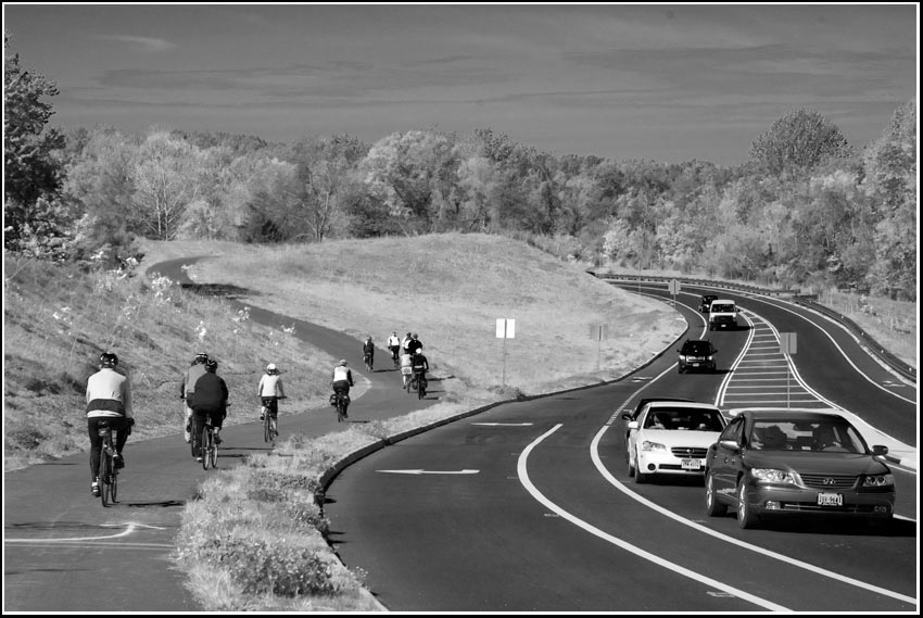
(kick-off ride for the mApp. Local cyclists parallel the John Warner Parkway.)